Fishing near Eugene, Oregon
Lane County, population 176,654.
- 9 milesto nearest paged water
- 8open launches nearby
 Pick for troutPiscifun Carbon X ultralight spinning reel28% OFFSale $57.99
Photo: Kris Arnold, CC BY-SA 2.0
Water within reach of Eugene
Census 2020 counted 176,654 people in Eugene, a city of Lane County. Fern Ridge Lake is the nearest water with its own page, about 9 miles to the west. The closest open launch on the OSMB map is Valley River launch on Willamette River at under a mile.
ODFW plans trout releases at McKenzie River, some 5 miles off.
Census 2020 population and Gazetteer point for Eugene; miles are straight lines.
 For the trout herePiscifun Carbon XT ultralight spinning reel25% OFFSale $59.99
Reservoirs within reach of Eugene
| Lake | Distance | Acres | Kind | OSMB launches | Fish mapped |
|---|---|---|---|---|---|
| Fern Ridge Lake | 9 miles west | 6,576 (outline) | lake | 5 | bluegill, brown bullhead, chiselmouth |
| Walterville Reservoir | 15 miles east | 63 (outline) | reservoir | 0 | black crappie, brown bullhead, largemouth bass |
| Dexter Reservoir | 19 miles southeast | 884 (outline) | reservoir | 3 | bluegill, brown bullhead, chiselmouth |
| Fall Creek Lake | 21 miles east | 1,764 (outline) | lake | 3 | black crappie, bluegill, cutthroat trout |
| Dorena Lake | 22 miles southeast | 1,662 (outline) | lake | 2 | black crappie, bluegill, brown bullhead |
| Hult Log Storage Reservoir | 23 miles northwest | 41 (outline) | reservoir | 1 | bluegill, brown bullhead, cutthroat trout |
BLM Oregon hydrography lake outlines (NHD), summed by GNIS name (layer), read November 2, 2026. ODFW Fish Habitat Distribution layers (ODFW ArcGIS), read November 2, 2026; a mapped species is habitat use ODFW records, not a catch report.
River fishing from Eugene
- McKenzie River5 miles, ODFW maps spring chinook and summer steelhead runs, 27 OSMB launches, 8 USGS gauges, 20 booklet exceptions
- Coast Fork Willamette River5 miles, ODFW maps spring chinook, summer steelhead and winter steelhead runs, 1 USGS gauge
- Middle Fork Willamette River5 miles, ODFW maps spring chinook, summer steelhead and winter steelhead runs, 8 OSMB launches, 2 USGS gauges
- Mohawk River7 miles, ODFW maps spring chinook and summer steelhead runs, 1 USGS gauge, 3 booklet exceptions
Live readings near Eugene
| USGS gauge | Latest reading | Time (ET) |
|---|---|---|
| Willamette River At Eugene, Or | 9.79 ft gage height | Nov 4 2:20 am |
| Mckenzie River Near Coburg, Or | 2,060 cfs, 7.19 ft gage height | Nov 4 2:20 am |
US Geological Survey provisional data, retrieved Nov 4, 2026 2:34 am ET. Provisional readings can be revised.
ODFW stream names and runs, OSMB launches and USGS gauges; read November 2, 2026.
The access map for Eugene
- Valley River launch on Willamette RiverWillamette River, under a mile
- Alton Baker Park on Willamette RiverWillamette River, 2 miles
- Canoe Launch on Willamette RiverWillamette River, 2 miles
- West D Boat Ramp on Willamette RiverWillamette River, 4 miles
- Whitely Landing on Willamette RiverWillamette River, 4 miles
- Island Park on Willamette RiverWillamette River, 5 miles
- Armitage Park on McKenzie RiverMcKenzie River, 5 miles
- Deadmonds Ferry Landing on McKenzie RiverMcKenzie River, 5 miles
Oregon State Marine Board Boating Access Sites layer (OSMB ArcGIS), read November 2, 2026; status as OSMB publishes it. Oregon Coastal Management Program (DLCD) Shoreline Access Inventory (layer) and the ODFW shore access map, read November 2, 2026.
Hatchery trout near Eugene
| Water | Distance | Planned releases | Latest listed |
|---|---|---|---|
| McKenzie River | 5 miles | 45 | Sep. 06, 2027 – Sep. 10, 2027: 2,000 legal-size trout |
| Dexter Reservoir | 19 miles | 12 | Oct. 04, 2027 – Oct. 08, 2027: 5,060 legal-size trout |
| Fall Creek Lake | 21 miles | 14 | Jun. 14, 2027 – Jun. 18, 2027: 1,200 legal-size trout |
| Dorena Lake | 22 miles | 8 | Oct. 04, 2027 – Oct. 08, 2027: 2,700 legal-size trout |
| Cottage Grove Lake | 25 miles | 8 | Apr. 12, 2027 – Apr. 16, 2027: 3,750 trophy trout |
ODFW weekly trout stocking schedule (planned releases; ODFW prints size classes, not species), myodfw.com, read November 2, 2026.
Stocking up around Eugene
Gear stores in range of Eugene
- Mazama Fishing PRO Shopbait and tackle shop, Eugene, under a mile
- Home Waters Fly Fishingfly shop, Eugene, under a mile
- Bi-Mart (Eugene/18th & Chambers)sporting goods store, Eugene, 1 mile
- Dick's Sporting Goods Eugenesporting goods store, Eugene, 3 miles
- Bi-Mart (Eugene/River Road)sporting goods store, Eugene, 3 miles
- Bi-Mart (Eugene/Willakenzie)sporting goods store, Eugene, 3 miles
- Bi-Mart (Eugene/Royal)sporting goods store, Eugene, 3 miles
- Bass Pro Shops Springfieldsporting goods store, Springfield, 4 miles
Booking a trip near Eugene
- Fishing With Ferris Guide Servicecharter, Eugene, (541) 514-5489
- Hooked for Life Guide Servicecharter, Eugene, (541) 359-8370
- Linklater Todd Fishing Trips Unlimitedcharter, Eugene, (541) 484-5557
Yellow Pages and store-locator listings (miles only for shops with a geocoded address) and guide or charter listings; read November 2, 2026.
Fishing contests by Eugene
| Date | Event | Water | Organizer |
|---|---|---|---|
| May 9, 2026 | KFNW/OKBF Spring Open Dorena Lake 2026 | Dorena Lake | Kayak Fishing Northwest / Oregon Kayak Bass Fishing (OKBF) |
| May 10, 2025 | KFNW/OKBF Season Kickoff Open Dorena Lake 2025 | Dorena Lake | Kayak Fishing Northwest (KFNW) / Oregon Kayak Bass Fishing (OKBF) |
Organizer schedule and results pages for events in Lane County or within 20 miles, checked November 2026.
Bag rows for water near Eugene
Most waters ODFW lists in Lane County fall under the ODFW Willamette Zone table, though zone lines follow drainages rather than county lines. Oregon residents pay $50 for the annual angling license, visitors $138. Add the Combined Angling Tag, $69 resident, before keeping salmon or steelhead. Bottomfish, halibut and other ocean trips need the $9 Ocean Endorsement as well.
| Species | Limit | Season |
|---|---|---|
| Trout | Lakes: 5 per day, 3 daily limits in possession. Streams: catch-and-release only, unless noted under Exceptions; 8-inch minimum | Lakes: Open all year. Streams: Open May 22 – Oct 31 unless noted under Exceptions. |
| Kokanee | 10 per day unless noted under Exceptions. | Open all year. |
| Salmon and Steelhead below Willamette Falls and Columbia River Tributa. | In the aggregate: 2 adult salmon or steelhead per day, 20 per year. 5 jacks per day, 2 daily jack limits in possession. | Closed in all waters unless noted under Exceptions. |
| Salmon above Willamette Falls | 2 adult salmon per day, 5 jacks per day, 2 daily jack limits in possession. 20 salmon and steelhead per year in aggregate. | Closed in all waters unless noted under Exceptions. |
| Steelhead above Willamette Falls | 3 adult steelhead per day (in addition to daily salmon bag limit). 20 salmon and steelhead per year in aggregate. | Closed in all waters unless noted under Exceptions. |
| Sturgeon | Catch-and-release only, unless noted under Exceptions. | Catch-and-release: Open all year, except as noted under Exceptions. |
| Bass | Lakes: 5 per day, 3 daily limits in possession unless noted under Exceptions. Streams: No limit. | Lakes: Open all year. Streams: Open during trout, salmon or steelhead seasons, except mainstem Willamette River and sloughs and tidewater areas of Columbia. |
| Bluegill, Catfish, Crappie, Other Sunfish, Walleye, Yellow Perch, Stri. | No limit, unless noted under Exceptions. | Lakes: Open all year. Streams: Open during trout, salmon or steelhead seasons, except mainstem Willamette River and sloughs and tidewater areas of Columbia. |
| Pacific Lamprey | Refer to General (Statewide) Regulations for regulations covering the harvest of Pacific lamprey. | Refer to General (Statewide) Regulations for regulations covering the harvest of Pacific lamprey. |
| Smelt | Closed. | Closed. |
| Species | Limit | Season |
|---|---|---|
| General Marine Species: Rockfish ("sea bass", "snapper"), Greenling (“. | Bag limits are set after this book is printed. Check current regulations before fishing on the Sport Bottomfish Seasons page. Retention of yelloweye and quillback rockfishes is prohibited. | Waters are open 24 hours per day. The offshore long-leader fishery is limited to fishing seaward of the 40-fathom regulatory line. |
| Lingcod (including green-colored lingcod) | 3 fish. | Waters are open 24 hours per day. The offshore long-leader fishery is limited to fishing seaward of the 40-fathom regulatory line. |
| Sablefish (black cod) | 10 fish. | Waters are open 24 hours per day. The offshore long-leader fishery is limited to fishing seaward of the 40-fathom regulatory line. |
| Flatfish (flounders, soles, sanddabs, turbots, and halibuts except Pac. | 25 fish in aggregate. | Waters are open 24 hours per day. The offshore long-leader fishery is limited to fishing seaward of the 40-fathom regulatory line. |
| Surfperch (includes all marine perch species) | 15 fish in aggregate. | Waters open all year, 24 hours per day, unless noted under Management Designations for Marine Areas. |
| Herring, Anchovy, Sardine, Topsmelt, Jacksmelt, and true smelts | 25 pounds in aggregate. | Waters open all year, 24 hours per day, unless noted under Management Designations for Marine Areas. |
| Offshore Pelagic Species: Includes all tuna and mackerel species, swor. | 25 fish in aggregate. White shark, basking shark, mega-mouth shark, and oceanic whitetip shark are prohibited and must be immediately released unharmed. | Waters open all year, 24 hours per day, unless noted under Management Designations for Marine Areas. |
| Striped Bass and/or Hybrid Bass | No limit | Waters open all year, 24 hours per day, unless noted under Management Designations for Marine Areas. |
| Sturgeon | Catch-and-release only. | Open all year. |
| Salmon and Steelhead | Ocean salmon and steelhead seasons and restrictions are set each April by the Pacific Fishery Management Council. Regulations are published each May and are available from license agents. | Ocean salmon and steelhead seasons and restrictions are set each April by the Pacific Fishery Management Council. |
| Pacific Halibut | May be taken by angling with a single line, no more than 2 hooks; and by spear. Pacific halibut seasons are managed and enforced based on port of landing. | May be taken by angling with a single line, no more than 2 hooks; and by spear. Pacific halibut seasons are managed and enforced based on port of landing. |
| Razor Clams | First 15 dug (no sorting or releasing). | Waters open all year, 24 hours per day Exceptions: Razor clams are closed Jul 15 to Sep 30 north of Tillamook Head (Clatsop County) Shellfish harvests may be cl. |
Limits as printed in the 2026 Oregon Sport Fishing Regulations (ODFW, eRegulations edition) (Willamette Zone page), read November 2, 2026. Limits as printed in the 2026 Oregon Sport Fishing Regulations (ODFW, eRegulations edition) (Marine Zone page), read November 2, 2026. Lake, river and bay pages print any water exception.
Around Eugene
Town pages around Eugene
- River Road2 miles
- Santa Clara4 miles
- Coburg6 miles
- Springfield7 miles
- Creswell11 miles
The county page for Eugene
- Lane Countyseat: Eugene
Piscifun gear an angler could carry out to Eugene


Piscifun and Amazon links are affiliate links; the site earns a commission on qualifying purchases.
Photographs from the shoreline near Eugene
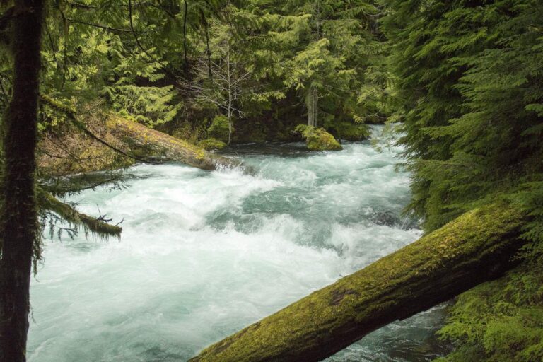
Photo: Bonnie Moreland, Public domain
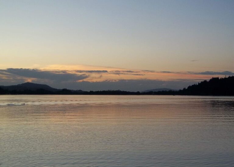
Photo: Oregon Department of Fish & Wildlife, CC BY-SA 2.0
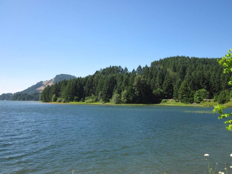
Photo: Doug Kerr, CC BY-SA 2.0
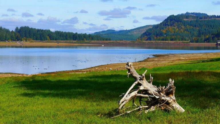
Photo: Rick Obst, CC BY 2.0
Trips launched from Eugene, sorted out
How far is Eugene from a lake with a guide?
Fern Ridge Lake, 9 miles west.
Which OSMB launch is nearest Eugene?
Closest: Valley River launch on Willamette River, under a mile.
Which DLCD or ODFW shore site is nearest Eugene?
None within 15 miles on the shore layers.
Who sells tackle around Eugene?
Mazama Fishing PRO Shop, under a mile away.
Which county governs Eugene?
Lane County covers it.
Which ODFW license fits a short stay in Eugene?
ODFW lists the out-of-state annual angling license at $138. Add the Ocean Endorsement for ocean fishing.
Which reservoir near Eugene has the largest outline?
Fern Ridge Lake, about 6,576 acres, 9 miles away.
Which Oregon towns neighbour Eugene?
River Road (2 miles), Santa Clara (4 miles) and Coburg (6 miles) lie closest.
Which water near Eugene gets hatchery trout?
McKenzie River, 5 miles away, with 45 releases on the schedule (planned, not confirmed).
Which event comes next around Eugene?
Organizer pages list 2 events here, all already fished.
Fish the waters around Eugene
Open a launch for lanes, amenities and directions.