Meduxnekeag River Fishing
A river in Aroostook County, Maine.
 Pick for troutPiscifun Carbon X ultralight spinning reel28% OFFSale $57.99
Photo of Aroostook River: Boston Public Library, CC BY 2.0
The Meduxnekeag River at a glance, Maine
Meduxnekeag River: a river in Aroostook County, 22.1 miles of mapped flowline in Maine. Named towns along it: Houlton, New Limerick, Littleton and Linneus. By straight line, Houlton is 1 mile from it.
Launch data count 1 launch. It has 1 flow gauges in the USGS network.
USGS National Hydrography Dataset record for Meduxnekeag River (NHD service), read November 18, 2026. Length is the NHD flowline length inside Maine, not a fishable length.
U.S. Census Bureau, 2020 Census counts (TIGERweb) and the 2023 Gazetteer, read November 18, 2026.
Gauge height and cfs near the Meduxnekeag River
USGS has no current reading for these gauges.
Gauge numbers describe their own site and nothing upstream or down.
USGS Water Data for the Nation, live through the site, retrieved on page view.
Reported stockings at Meduxnekeag River
The DIF&W hatchery report lists 2 dated stocking events matched to Meduxnekeag River, newest first below. The latest report is year-to-date as of Nov. 17, 2026 and its figures are preliminary.
| Date | Fish | Number printed | Size | Status |
|---|---|---|---|---|
| May 13, 2026 | Brook trout | 250 | 10 in. | stocked, per the 2026 year-to-date report (preliminary receipt data) |
| May 13, 2026 | Brook trout | 250 | 10 in. | stocked, per the 2026 year-to-date report (preliminary receipt data) |
Breakdown of what is on file: 2 rows from the 2026 year-to-date report.
The report prints no spring or fall label, so this page adds none.
MDIFW 2026 year-to-date stocking report (MDIFW report), preliminary receipt data as of Nov. 17, 2026, read November 18, 2026. Dates, sizes and counts are as printed; the report may be corrected after review.
 For the trout herePiscifun Carbon XT ultralight spinning reel25% OFFSale $59.99
Maine ramps and launch points on Meduxnekeag River
- Meduxnekeag River (Houlton) Fishing Areatrailer ramp, freshwater, hard surface
Ramp rows give names and surface only. Whether a ramp is usable is for the owner to say.
Maine GeoLibrary boat launches layer (ArcGIS service), read November 18, 2026.
What the statewide pages say for Meduxnekeag River
The statewide law pages are the reference for Meduxnekeag River. Water-by-water special laws (closures, ice seasons, bait and length rules for named lakes) were not read for this page: check the special fishing laws page for the water before you fish it.
| Fish as printed | Water type | Daily bag as printed | Possession | Note |
|---|---|---|---|---|
| Brook trout (includes splake, Arctic charr) | lakes ponds | 5 fish total; only 2 from South Zone lakes/ponds | 6 in minimum | |
| Brook trout (includes splake, Arctic charr) | rivers streams brooks | 5 | 6 in minimum | |
| Brown trout | lakes ponds | 2 | 14 in minimum | |
| Brown trout | rivers streams brooks | 2 | 6 in minimum, 25 in maximum | |
| Rainbow trout | lakes ponds | 2 | 12 in minimum | |
| Rainbow trout | rivers streams brooks | 2 | 6 in minimum | |
| Landlocked salmon | lakes ponds | 2 | 14 in minimum | |
| Landlocked salmon | rivers streams brooks | 2 | 14 in minimum, 25 in maximum | Page: Aug 16-Sep 30 river stream limits are one landlocked salmon and one brook trout daily. |
| Togue (lake trout) | lakes ponds | 2 | 18 in minimum | |
| Togue (lake trout) | rivers streams brooks | 2 | 18 in minimum | |
| Bass (largemouth and smallmouth) | all | North Zone: unlimited; South Zone: 2, only 1 may exceed 14 in | North: no length limit; South: no minimum | |
| Whitefish | lakes ponds | 3 | none |
The statewide MDIFW law pages, read on Nov. 18, 2026, supply every rule here; they carry no revision date, they cite the 2026 law book valid through Dec. 31, 2026, and no 2027 rule or fee is given.
Anglers 16 and older need a Maine fishing license for inland waters; the MDIFW fee page prints $30 for a resident season license and $83 for a nonresident one, agent fees not included.
MDIFW fishing law pages for 2026 (maine.gov/ifw), read November 18, 2026. The pages carry no revision date and refer to the 2026 fishing law book, which is not valid after Dec. 31, 2026.
License fees from the MDIFW license requirements page (maine.gov/ifw), read November 18, 2026.
Advisory lines that name Meduxnekeag River
The MDIFW advisory page lists Meduxnekeag River for this water (PCB, dioxin or DDT advisory): 2 meals/month.
In Maine close to Meduxnekeag River
Neighboring brooks to the Meduxnekeag River
- Mattawamkeag River44 miles southwest
- Aroostook River45 miles northwest
- Fish River75 miles northwest
Counters that sell bait close to Meduxnekeag River
- Two Rivers Canoe & Tacklebait and tackle shop, Sherman, 34 miles
- Bite Me Bait & Tacklebait and tackle shop, Lee, 57 miles
- Old Mill Marinamarina, Eagle Lake
- Rideout's Lakeside Lodgesporting camp, Weston
Where to sleep near Meduxnekeag River, woods road to coast
- Houltonunder a mile
- Hodgdon7 miles
- Mars Hill28 miles
Meduxnekeag River on the county map
- Aroostook Countyseat: Houlton
Piscifun spinning reels with spare line for a trip to Meduxnekeag River


Piscifun and Amazon links are affiliate links; the site earns a commission on qualifying purchases.
Ponds, brooks and rocky coves around Meduxnekeag River, pictured
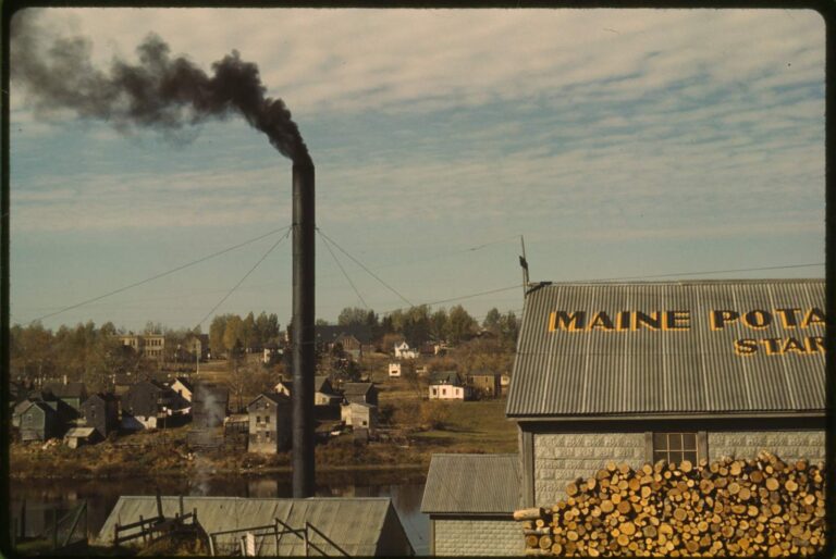
Photo: Britt Fuller, Public domain

Photo: David Wilson, CC BY 2.0
Sorting out the details before a trip to Meduxnekeag River
What length does the map give the Meduxnekeag River?
Short answer: NHD maps 22.1 miles of flowline inside Maine; that is not a fishable length.
Which part of Maine holds the Meduxnekeag River?
Worth knowing: Meduxnekeag River runs through Aroostook County, by the towns of Houlton, New Limerick, Littleton and Linneus.
Where do boats launch on the Meduxnekeag River?
From the pages: Boaters find 1 launch listed, starting with Meduxnekeag River (Houlton) Fishing Area. No lane count, hours or fee is on file.
How many fish may leave the Meduxnekeag River in the cooler?
Short answer: The statewide limits apply as printed; no water-specific special law was read. River and stream limits differ from lake limits, so read the table and the current law book.
Does fishing the Meduxnekeag River need a license?
Worth knowing: Anglers 16 and older need a Maine fishing license for inland waters; the MDIFW fee page prints $30 for a resident season license and $83 for a nonresident one, agent fees not included.
Where can I buy bait before the Meduxnekeag River?
From the pages: Two Rivers Canoe & Tackle, about 34 miles away, is first on the list.
Where is the closest town to the Meduxnekeag River?
Short answer: Houlton is the closest town on the Census list, about 1 mile away by straight line.
What other waters are close to the Meduxnekeag River?
Worth knowing: Closest with their own page: Mattawamkeag River, Aroostook River and Fish River.
Can I get directions to the Meduxnekeag River?
From the pages: Use the Directions button on the page: it opens a map at the point the state data places the Meduxnekeag River. Roads and access change, so confirm the landowner or town before you go.
Does the state stock the Meduxnekeag River?
Short answer: The most recent row reads May 13, 2026, Brook trout. The 2026 report is preliminary and read as of Nov. 17, 2026.
Does a USGS gauge track the flow of the Meduxnekeag River?
Worth knowing: Yes: USGS gauges report for it, and the flow block loads live values with their times.
Is the Meduxnekeag River on the advisory list?
Plainly: The MDIFW advisory page lists Meduxnekeag River for this water (PCB, dioxin or DDT advisory): 2 meals/month.
Chart a trip to the Meduxnekeag River
Fees and limits are a click away.