Fishing in Wapello County, Iowa
County seat: Ottumwa. Census 2020 residents: 35,437.
- 20named waters
- 8ramps
- 2river pages
 Pick for bullheadPiscifun LumiCat II catfish rod48% OFFSale $114.99
Photo of Rathbun Reservoir: Anna, CC BY 2.0
First things to know about fishing Wapello County, Iowa
The 2020 Census gave Wapello County 35,437 people, with Ottumwa as county seat. Census tables show 432 square miles of land and 4.2 square miles of water inside county lines. The Iowa DNR and the USGS name 20 waters inside the county line, and Ottumwa Lagoon is the largest of them by size. River pages for the county cover Des Moines River (Ottumwa Dam to Farmington) and Des Moines River (Red Rock to Ottumwa Dam).
Mapped access inside the county comes to 8 boat ramps plus 2 other fishing points more shore, dock or paddling points. Community Fishing tags 10 waters here. Entry-specific lines apply to 2 waters in the county.
U.S. Census Bureau, 2020 Census counts (TIGERweb) and the 2023 Gazetteer, read November 18, 2026. Iowa DNR Fishing Atlas amenities layer (ArcGIS service), read November 18, 2026.
Plotted: waters, ramps and shore points of Wapello County
Iowa DNR Fishing Atlas amenities layer (ArcGIS service), read November 18, 2026. Water pins sit at the point Fish Iowa or the USGS gives for each water.
Iowa water pages for Wapello County
Additional water waits beyond the Wapello County line, counted in miles from Ottumwa.
| Water | From Ottumwa | Size | Access points | Kind | Fish the DNR lists |
|---|---|---|---|---|---|
| South Skunk River (Pella to Rose Hill) | 19 miles out, heading north | no size printed | 2 | river reach | none listed |
| Lake Keomah | 20 miles out, heading north | 78 acres | 6 | lake | black bullhead, black crappie, bluegill |
| Rathbun Reservoir | 28 miles out, heading southwest | 11,000 acres | 25 | reservoir | black crappie, channel catfish, flathead catfish |
| South Skunk River (Cambridge to Pella) | 33 miles out, heading northwest | no size printed | 6 | river reach | black bullhead, channel catfish, common carp |
Surface acres as Fish Iowa publishes them for this water (Iowa DNR), read November 18, 2026. Waters with no acreage in the DNR record show their mapped outline instead. Iowa DNR Fish Iowa record for this water (Fish Iowa), read November 18, 2026.
 For the bullhead herePiscifun Chaos XS round baitcaster36% OFFSale $57.99
Iowa rivers to wade in Wapello County
- Des Moines River (Ottumwa Dam to Farmington)booklet entry, 11 access points, 2 USGS gauges
- Des Moines River (Red Rock to Ottumwa Dam)booklet entry, 3 access points, 4 USGS gauges
USGS stations sitting on the streams of Wapello County
USGS has no current reading for these gauges.
Iowa DNR Fish Iowa record for this river (Fish Iowa), read November 18, 2026. USGS Water Data for the Nation, live through the site, retrieved on page view.
Counting DNR species lists around Wapello County
Tallying Fish Iowa lists for 13 waters in the county, bluegill comes first.
Fish Iowa Popular Fish Species lists, counted per water; presence in the list is not a catch survey. Iowa DNR Fish Iowa Popular Fish Species list (Fish Iowa), read November 18, 2026. A listed species is present by the DNR’s account, not a catch report.
Iowa trailer launches around Wapello County
- Black Hawk River Accessboat ramp; Wapello County
- Black Hawk Road Accessboat ramp; Wapello County
- Black Lake Rampboat ramp; Wapello County
- Cliffland Access on Des Moines River (Ottumwa Dam to Farmington)boat ramp; Wapello County
- Coliseum Ramp on Des Moines River (Ottumwa Dam to Farmington)boat ramp; Wapello County
- Eldon Ramp on Des Moines River (Ottumwa Dam to Farmington)boat ramp; Wapello County
- Ottumwa Park Pond North Rampboat ramp; Wapello County
- Ottumwa Park Pond South (Trout Pond) Rampboat ramp; Wapello County
Iowa DNR mapped access points in Wapello County
- Eddyville Boat Ramp on Des Moines River (Red Rock to Ottumwa Dam)paddling access (canoe/kayak; Wapello County
- Rock Bluff Park on Des Moines River (Red Rock to Ottumwa Dam)fishing access; Wapello County
Iowa DNR Fishing Atlas amenities layer (ArcGIS service), read November 18, 2026.
Every other named water in Wapello County, with its map pin
Lakes, ponds and pits in Wapello County
| Water | Kind | Size | Fish the DNR lists | Access | Map pin |
|---|---|---|---|---|---|
| Ottumwa Lagoon Inside Ottumwa city limits off Wapello Street | lake, Community Fishing location | 59 acres | black crappie, channel catfish, largemouth bass | 0 | 41.0067, -92.4267 |
| Black Lake On the east side of Hwy 34 south of Vine Street, Ottumwa. Walk in access only. | lake, Community Fishing location | 11 acres | none listed | 1 | 41.0046, -92.4064 |
| Ottumwa Park Pond East Inside Ottumwa city limits off Wapello Street | pond, Community Fishing location | 10 acres | black crappie, bluegill, channel catfish, largemouth bass | 0 | 41.0127, -92.4277 |
| Arrowhead Pond (Wapello County) 3 miles southeast of Ottumwa in the Fox Hills Wildlife Management Area–walk in access only | pond | 10 acres | black crappie, bluegill, largemouth bass | 0 | 40.9726, -92.3366 |
| Ottumwa Park Pond South (Trout Pond) Inside Ottumwa city limits off Wapello Street | pond, Community Fishing location | 9.1 acres | bluegill, largemouth bass, rainbow trout | 1 | 41.0100, -92.4284 |
| Ottumwa Park Pond West Inside Ottumwa city limits off Wapello Street | pond, Community Fishing location | 5.8 acres | bluegill, channel catfish, largemouth bass | 0 | 41.0115, -92.4292 |
| Ottumwa Park Pond North Inside Ottumwa city limits off Wapello Street | pond, Community Fishing location | 3 acres | bluegill, channel catfish, largemouth bass, wiper (hybrid striped bass) | 1 | 41.0156, -92.4297 |
| Pioneer Ridge Nature Area Pond (Nature Center) 6 miles south of Ottumwa on the east side of Highway 63 in the Pioneer Ridge Nature Area | pond | 2 acres | none listed | 0 | 40.9013, -92.4057 |
| Indian Hills Bridge Pond IHCC campus in Ottumwa | pond, Community Fishing location | 1.1 acres | black crappie, bluegill, channel catfish, largemouth bass | 0 | 41.0433, -92.3913 |
| Ayres Addition Pond 40.888201, -92.398787 lat/long | pond | 1 acres | none listed | 0 | no point printed |
| Indian Hills ATC Pond IHCC campus in Ottumwa | pond, Community Fishing location | 1 acres | bluegill, channel catfish | 0 | 41.0440, -92.3904 |
| Memorial Park Pond Within Ottumwa city limits in Memorial Park-east side of North Jefferson Street | pond | 1 acres | none listed | 0 | 41.0315, -92.4002 |
| Pioneer Ridge Nature Area Parking Lot pond 6 miles south of Ottumwa on the east side of Highway 63 in the Pioneer Ridge Nature Area. | pond | 1 acres | bluegill, channel catfish, largemouth bass | 0 | 40.9009, -92.4024 |
| Pioneer Ridge Nature Area South pond 6 miles south of Ottumwa on the east side of Highway 63 in the Pioneer Ridge Nature Area | pond | 1 acres | none listed | 0 | 40.9017, -92.4079 |
| Indian Hills Lake Lyle IHCC campus in Ottumwa | lake, Community Fishing location | 0.6 acres | bluegill, channel catfish | 0 | 41.0466, -92.3950 |
| Indian Hills Waterfall Pond IHCC campus in Ottumwa | pond, Community Fishing location | 0.4 acres | bluegill, channel catfish, largemouth bass | 0 | 41.0436, -92.3877 |
| Eldon Pond | pond | no size printed | none listed | 0 | 40.9174, -92.2013 |
Iowa DNR Fish Iowa record for this water (Fish Iowa), read November 18, 2026. Outline area from the USGS National Hydrography Dataset waterbody layer (NHD service; mapped polygon area, not an Iowa DNR surface-acre figure), read November 18, 2026.
Streams and river reaches in Wapello County
| Water | Kind | Size | Fish the DNR lists | Access | Map pin |
|---|---|---|---|---|---|
| Hydropower Dam in Ottumwa On the Des Moines River in Ottumwa | river reach | no size printed | none listed | 0 | 41.0157, -92.4160 |
Iowa DNR Fish Iowa record for this water (Fish Iowa), read November 18, 2026. Outline area from the USGS National Hydrography Dataset waterbody layer (NHD service; mapped polygon area, not an Iowa DNR surface-acre figure), read November 18, 2026.
Lines in the 2026 book naming Wapello County waters
The rules here are from the 2026 Iowa Fishing Regulations, an Iowa DNR summary booklet that prints no effective or end date; the Iowa DNR had published no 2027 booklet or rule that this site could find when it was checked.
- Des Moines River (Ottumwa Dam to Farmington)Snagging not permitted in this area. (Des Moines River, Ottumwa: northeast bank below Ottumwa Dam incl. catwalk to Jefferson St. bridge (and South Market St. bridge))
- Des Moines River (Red Rock to Ottumwa Dam)Snagging not permitted in this area. (Des Moines River, Ottumwa: northeast bank below Ottumwa Dam incl. catwalk to Jefferson St. bridge (and South Market St. bridge))
2026 Iowa Fishing Regulations (Iowa DNR PDF), read November 18, 2026. The booklet is a summary and prints no effective or end date.
Iowa DNR record entries on Wapello County water
| Species | Size as listed | Water | Year | Category |
|---|---|---|---|---|
| Bighead Carp | 112.00 lbs. | Des Moines River (Red Rock to Ottumwa Dam) | 2018 | Iowa all-time state record (all waters) |
| Northern Hog Sucker | 1.91 lbs. | Des Moines River (Red Rock to Ottumwa Dam) | 2019 | Iowa all-time state record (all waters) |
| Saugeye | 12.25 lbs. | Des Moines River (Red Rock to Ottumwa Dam) | 2000 | Iowa all-time state record (all waters) |
| Shovelnose Sturgeon | 12.00 lbs. | Des Moines River (Red Rock to Ottumwa Dam) | 1974 | Iowa all-time state record (all waters) |
| Silver Carp | 62.00 lbs. | Des Moines River (Red Rock to Ottumwa Dam) | 2018 | Iowa all-time state record (all waters) |
| Walleye | 14.50 lbs. | Des Moines River (Red Rock to Ottumwa Dam) | 1986 | Iowa all-time state record (all waters) |
Iowa all-time state record fish from the Iowa DNR State Record Fish page (DNR page), page updated Sept. 29, 2026, read November 18, 2026. Angler names are not printed.
Marinas and bait shops in Wapello County, Iowa
Bait and tackle counters on the county road to Wapello County
- Lollipop Bait Shopbait and tackle shop, Ottumwa
- Mike Bait Tacklebait and tackle shop, Ottumwa
Yellow Pages and operator listings (city of business), read November 18, 2026. Guides appear as businesses; no license or permit status is implied.
A short county-road stretch past Wapello County
Iowa town pages within Wapello County
- Ottumwa2020 count 25,529
Across the Iowa county line from Wapello County
- Davis County20 miles out, heading south
- Jefferson County23 miles out, heading east
- Mahaska County24 miles out, heading northwest
- Monroe County24 miles out, heading west
Where the shop lists put Wapello County on the map
Wapello County sits in the site's southeast Iowa grouping for tackle shops; the label is ours, not the DNR's.
Current Iowa pages for Wapello County anglers
Iowa fishing this week
Iowa stocking by date
Iowa fish advisories
Piscifun gear an Iowa angler could carry to Wapello County


Piscifun and Amazon links are affiliate links; the site earns a commission on qualifying purchases.
Farm-country ponds and river bends by Wapello County through a lens
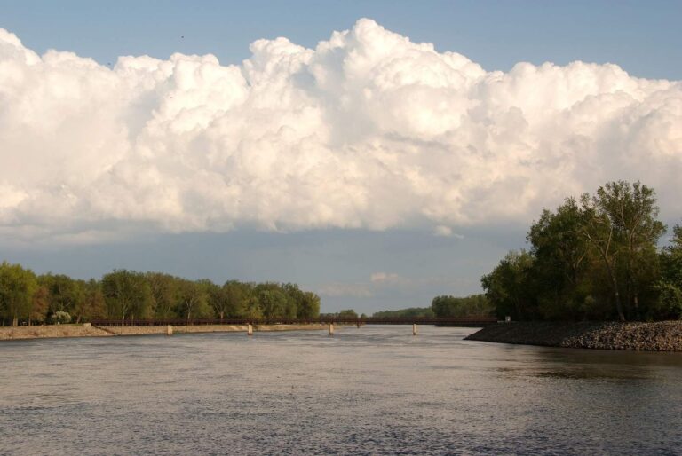
Photo: Carl Wycoff, CC BY 2.0
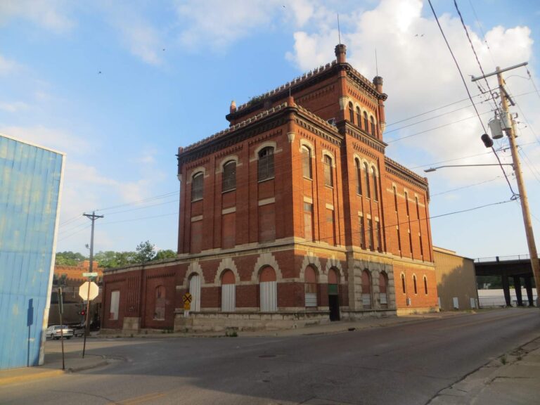
Photo: David Wilson, CC BY 2.0
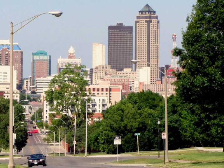
Photo: David Wilson, CC BY 2.0

Photo: Ron Reiring, CC BY 2.0
Ponds, rivers and ramps of Wapello County, explained
How many ramps does the Fishing Atlas list for Wapello County?
There are 8 ramps in the atlas data.
Where does the widest Iowa water sit in Wapello County?
Ottumwa Lagoon, with 59 acres.
What fish does the Iowa DNR name in Wapello County?
Fish Iowa lists bluegill on the most waters in the county, then channel catfish, largemouth bass and black crappie; a listing shows presence, not a catch.
Where can I buy bait in Wapello County, Iowa?
Try Lollipop Bait Shop; the county has 2.
Where does Iowa's Wapello County keep its courthouse?
Ottumwa has it.
Which Iowa DNR licenses cover fishing in Wapello County?
Anglers 16 and older need a valid Iowa fishing license; the Iowa DNR fee table prints $22 for a resident annual fishing license and $48 for a nonresident, and trout anglers add a separate trout fee.
What Iowa counties surround Wapello County?
Begin with Davis County, Jefferson County and Mahaska County.
How big a stringer may anglers in Wapello County carry out?
Limits come from the booklet's statewide rows unless the water has its own entry, and an entry replaces the statewide limit for the fish it names; each lake and river page on this site prints its entry. The rules here are from the 2026 Iowa Fishing Regulations, an Iowa DNR summary booklet that prints no effective or end date; the Iowa DNR had published no 2027 booklet or rule that this site could find when it was checked.
How are Wapello County farm ponds and pits listed here?
All 20 waters on file for the county show up, as a page link or a pinned row.
Do exceptions in the Iowa book touch Wapello County lakes?
2 waters with a page here carry their own entry in the booklet, beginning with Des Moines River (Ottumwa Dam to Farmington).
What Iowa record fish came out of Wapello County?
Bighead Carp, 112.00 lbs., from Des Moines River (Red Rock to Ottumwa Dam) (2018).
Set up an Iowa fishing weekend in Wapello County
Water rows carry coordinates, a DNR species list and a map pin.