Fishing in Chickasaw County, Iowa
County seat: New Hampton. Census 2020 residents: 12,012.
- 14named waters
- 4ramps
- 3river pages
 Pick for channel catfishPiscifun LumiCat II catfish rod48% OFFSale $114.99
Photo, nearby stand in for Chickasaw County: Jerry Huddleston, CC BY 4.0
Chickasaw County water by the Iowa DNR numbers
New Hampton serves as the seat of Chickasaw County, which logged 12,012 residents in the 2020 Census. For land and water, the 2023 Gazetteer lists 504 square miles of land and 1.3 square miles of water inside the county. Of the 14 waters logged in Chickasaw County, Nashua Impoundment (Cedar Lake) sprawls widest. Wading anglers can start on Cedar River (Nashua to La Porte City), Cedar River (above Nashua) and Wapsipinicon River (state line to Tripoli).
Boat anglers have 4 boat ramps to choose from; the atlas also holds 4 other fishing points further points. Iowa DNR flags 2 waters of its waters here as Community Fishing locations, built for walk-up angling. The book departs from its statewide rows on 3 waters here.
U.S. Census Bureau, 2020 Census counts (TIGERweb) and the 2023 Gazetteer, read November 18, 2026. Iowa DNR Fishing Atlas amenities layer (ArcGIS service), read November 18, 2026.
Where the Iowa DNR places waters and landings inside Chickasaw County
Iowa DNR Fishing Atlas amenities layer (ArcGIS service), read November 18, 2026. Water pins sit at the point Fish Iowa or the USGS gives for each water.
Iowa creeks winding through Chickasaw County
- Cedar River (Nashua to La Porte City)booklet entry, 12 access points, 4 USGS gauges
- Cedar River (above Nashua)booklet entry, 10 access points, 1 USGS gauge
- Wapsipinicon River (state line to Tripoli)3 access points, 1 USGS gauge
Flow-and-stage stations located in Chickasaw County
USGS has no current reading for these gauges.
Iowa DNR Fish Iowa record for this river (Fish Iowa), read November 18, 2026. USGS Water Data for the Nation, live through the site, retrieved on page view.
Which fish lead the Fish Iowa lists for Chickasaw County
Species lists on 11 county waters name channel catfish most often.
Fish Iowa Popular Fish Species lists, counted per water; presence in the list is not a catch survey. Iowa DNR Fish Iowa Popular Fish Species list (Fish Iowa), read November 18, 2026. A listed species is present by the DNR’s account, not a catch report.
 For the channel catfish herePiscifun Chaos XS round baitcaster36% OFFSale $57.99
Public Iowa ramps in Chickasaw County
- Cedar View Park on Nashua Impoundment (Cedar Lake)boat ramp; Chickasaw County
- Lakeshore Park on Nashua Impoundment (Cedar Lake)boat ramp; Chickasaw County
- Nashua Access on Nashua Impoundment (Cedar Lake)boat ramp; Chickasaw County
- Ringneck Haven Fishing Areaboat ramp; Chickasaw County
Walk-in and dock points across Iowa's Chickasaw County
- Garnet Pond Fishing Area on New Hampton Pond (Garnant)fishing access; Chickasaw County
- Pearl Rock Fishing Area on Cedar River (Nashua to La Porte City)paddling access (canoe/kayak; Chickasaw County
- Twin Ponds Fishing Areapaddling access (canoe/kayak; Chickasaw County
- Wapsi Junction Area on Wapsipinicon River (state line to Tripoli)paddling access (canoe/kayak; Chickasaw County
Iowa DNR Fishing Atlas amenities layer (ArcGIS service), read November 18, 2026.
The rest of the water in Chickasaw County, one table row each
Lakes, ponds and pits in Chickasaw County
| Water | Kind | Size | Fish the DNR lists | Access | Map pin |
|---|---|---|---|---|---|
| Nashua Impoundment (Cedar Lake) Located on the east edge of Nashua. | lake | 200 acres | bluegill, channel catfish, largemouth bass, smallmouth bass | 3 | 42.9564, -92.5390 |
| Split Rock Lake Located 4 miles south and 1.5 miles west of Fredericksburg at 3090 Pembroke Ave. | lake | 10 acres | bluegill, channel catfish, largemouth bass | 0 | 42.9110, -92.2376 |
| Airport Lake Located 2 miles northwest of New Hampton. | lake, Community Fishing location | 9 acres | black crappie, bluegill, channel catfish, largemouth bass | 0 | 43.0872, -92.3466 |
| Ringneck Haven Located 1.5 miles north and 1 mile west of North Washington. | lake | 6 acres | bluegill, channel catfish, green sunfish, largemouth bass | 1 | 43.1436, -92.4321 |
| Twin Ponds (Chickasaw County) Located 2 miles south and 3 miles east of Ionia off of County Road B54 and River Rd. | pond | 6 acres | bluegill, channel catfish, common carp, largemouth bass | 1 | 43.0144, -92.3898 |
| Twin Ponds North | pond | 3 acres | bluegill, channel catfish, largemouth bass | 0 | 43.0111, -92.3956 |
| Goodale Conservation Area Pond This pond is located 5 miles west and 1/2 mile south of Alta Vista within the county park. | pond | 1.5 acres | none listed | 0 | 43.1879, -92.5238 |
| New Hampton Pond (Garnant) This popular city owned pond is in Garnant Park, New Hampton on South 4th Avenue. | pond, Community Fishing location | 1.5 acres | bluegill, channel catfish, largemouth bass | 1 | 43.0516, -92.3044 |
| Johnny Walnut Seed Conservation Area Pond Located 0.5 miles west and 1 mile north of Jerico. | pond | 0.8 acres | none listed | 0 | 43.1995, -92.2751 |
| Sluggo's Pond Located 1.5 miles east and 4 miles north of Lawler. | pond | 0.5 acres | black bullhead | 0 | 43.1309, -92.1132 |
Iowa DNR Fish Iowa record for this water (Fish Iowa), read November 18, 2026. Outline area from the USGS National Hydrography Dataset waterbody layer (NHD service; mapped polygon area, not an Iowa DNR surface-acre figure), read November 18, 2026.
Other mapped names in Chickasaw County
These names come from the USGS hydrography layer; the Iowa DNR has no record for them, so there is no fish list.
| Water | Kind | Size | Fish the DNR lists | Access | Map pin |
|---|---|---|---|---|---|
| Cedar Lake | lake | about 542 acres of mapped outline | none listed | 0 | 42.9707, -92.5495 |
Iowa DNR Fish Iowa record for this water (Fish Iowa), read November 18, 2026. Outline area from the USGS National Hydrography Dataset waterbody layer (NHD service; mapped polygon area, not an Iowa DNR surface-acre figure), read November 18, 2026.
Which Chickasaw County waters get a rule line of their very own
The rules here are from the 2026 Iowa Fishing Regulations, an Iowa DNR summary booklet that prints no effective or end date; the Iowa DNR had published no 2027 booklet or rule that this site could find when it was checked.
- Cedar River (Nashua to La Porte City)All black bass caught from this stream segment must be released alive immediately. (Cedar River (Mitchell) – county road A19 bridge east of Otranto to county road T26 bridge south of St. Ansgar)
- Cedar River (above Nashua)All black bass caught from this stream segment must be released alive immediately. (Cedar River (Mitchell) – county road A19 bridge east of Otranto to county road T26 bridge south of St. Ansgar)
- Wapsipinicon River (state line to Tripoli)
2026 Iowa Fishing Regulations (Iowa DNR PDF), read November 18, 2026. The booklet is a summary and prints no effective or end date.
Iowa DNR record-list fish pulled from Chickasaw County water
| Species | Size as listed | Water | Year | Category |
|---|---|---|---|---|
| River Redhorse | 7.48 lbs. | Shell Rock River (Greene to Shell Rock) | 2020 | Iowa all-time state record (all waters) |
| White Sucker | 5.06 lbs. | Otter Creek | 2016 | Iowa all-time state record (all waters) |
| Brown Trout | 15.38 lbs. | North Prairie Lake | 1995 | Iowa all-time state record (all waters) |
| Rainbow Trout | 19.50 lbs. | French Creek | 1984 | Iowa all-time state record (all waters) |
Iowa all-time state record fish from the Iowa DNR State Record Fish page (DNR page), page updated Sept. 29, 2026, read November 18, 2026. Angler names are not printed.
Iowa tackle shops and guides in Chickasaw County
Where to buy minnows and worms near Chickasaw County
- Nubs Bait Tackle and Morebait and tackle shop, Nashua
Yellow Pages and operator listings (city of business), read November 18, 2026. Guides appear as businesses; no license or permit status is implied.
Minutes from Chickasaw County on gravel and blacktop
Home bases for fishing Chickasaw County, Iowa
- New Hampton2020 count 3,494
- Nashua2020 count 1,551
The Iowa counties around Chickasaw County
- Bremer County19 miles out, heading south
- Howard County21 miles out, heading north
- Floyd County24 miles out, heading west
- Fayette County28 miles out, heading southeast
Reading shop lists that cover Chickasaw County
For shop lists the county belongs to the northeast Iowa grouping, drawn by this site from map coordinates.
Dated pages worth opening for Chickasaw County
Iowa fishing this week
Iowa stocking by date
Iowa fish advisories
Piscifun rods, reels and pliers worth a look before the drive to Chickasaw County


Piscifun and Amazon links are affiliate links; the site earns a commission on qualifying purchases.
First light over the water near Chickasaw County, prairie style
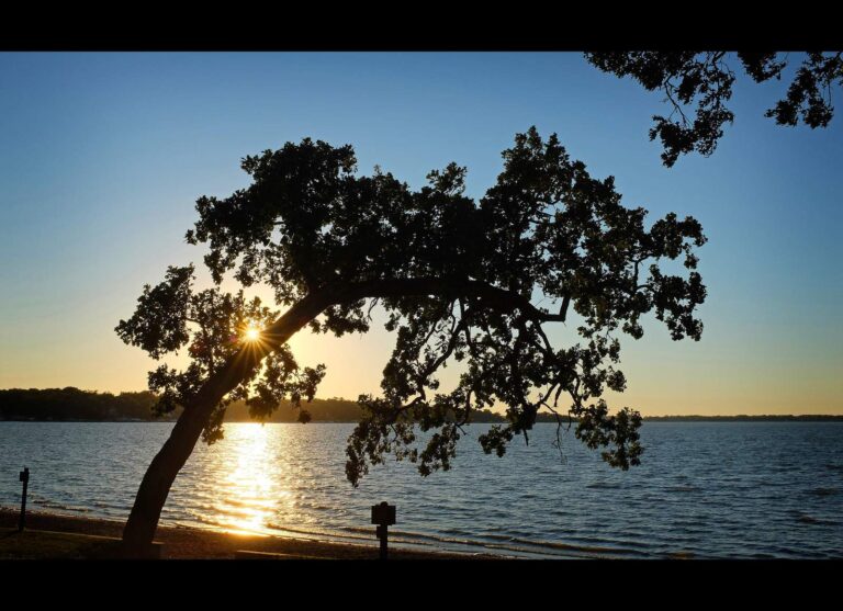
Photo: Dusty J, CC BY 2.0
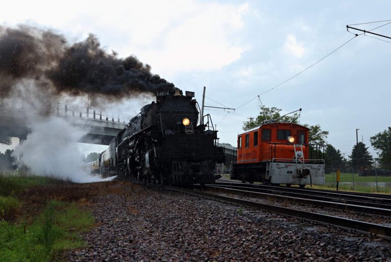
Photo: Jerry Huddleston, CC BY 2.0

Photo: Paul Sableman, CC BY 2.0
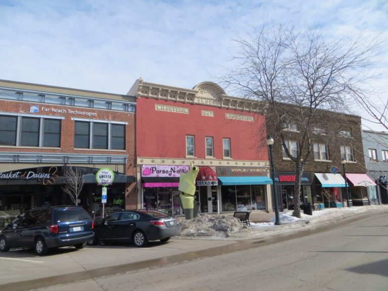
Photo: David Wilson, CC BY 2.0
Short Hawkeye replies about fishing Chickasaw County
Is there a put-in for a canoe or jon boat in Chickasaw County?
The Iowa DNR Fishing Atlas lists 4 ramps, named above with directions.
Which Iowa lake carries the largest acre figure in Chickasaw County?
Nashua Impoundment (Cedar Lake): 200 acres.
Which fish does Fish Iowa list near Chickasaw County?
Fish Iowa lists channel catfish on the most waters in the county, then bluegill, largemouth bass and northern pike; a listing shows presence, not a catch.
Does an Iowa tackle shop have a listing in Chickasaw County?
1 in all, including Nubs Bait Tackle and More.
Which Iowa town serves as seat for Chickasaw County?
County offices sit in New Hampton.
How much does the Iowa DNR charge to fish in Chickasaw County?
Anglers 16 and older need a valid Iowa fishing license; the Iowa DNR fee table prints $22 for a resident annual fishing license and $48 for a nonresident, and trout anglers add a separate trout fee.
Which Iowa counties lie next to Chickasaw County?
By center point: Bremer County, Howard County and Floyd County.
What do Iowa limits look like for Chickasaw County water?
Limits come from the booklet's statewide rows unless the water has its own entry, and an entry replaces the statewide limit for the fish it names; each lake and river page on this site prints its entry. The rules here are from the 2026 Iowa Fishing Regulations, an Iowa DNR summary booklet that prints no effective or end date; the Iowa DNR had published no 2027 booklet or rule that this site could find when it was checked.
Can I find a named pit or pond of Chickasaw County on this page?
Waters without a page of their own are table rows above, each with an anchor and a map pin; the county holds 14 waters.
Do any Iowa waters in Chickasaw County have their own rules?
3 waters with a page here carry their own entry in the booklet, beginning with Cedar River (Nashua to La Porte City).
Pick a farm pond or river bend in Chickasaw County
Open a pinned row for its location, size and fish list.