Fishing in Bremer County, Iowa
County seat: Waverly. Census 2020 residents: 24,988.
- 11named waters
- 13ramps
- 3river pages
 Pick for channel catfishPiscifun LumiCat II catfish rod48% OFFSale $114.99
Photo of Cedar Falls: David Wilson, CC BY 2.0
Fishing Bremer County, Iowa, in brief
County government for Bremer County meets in Waverly; the 2020 tally there was 24,988 residents. Gazetteer tables put 435 square miles of land and 3.9 square miles of water within the county boundary. Measured by acres or mapped outline, Waverly Impoundment tops the 11 waters recorded here. The stream list for Bremer County starts with Wapsipinicon River (Tripoli to Troy Mills), Cedar River (Nashua to La Porte City) and Wapsipinicon River (state line to Tripoli).
The Iowa DNR atlas maps 13 boat ramps here, alongside 16 other fishing points other points. Community Fishing status applies to 1 water in the county. 3 waters here carry their own entry in the 2026 booklet.
U.S. Census Bureau, 2020 Census counts (TIGERweb) and the 2023 Gazetteer, read November 18, 2026. Iowa DNR Fishing Atlas amenities layer (ArcGIS service), read November 18, 2026.
Charting the lakes and landings of Bremer County
Iowa DNR Fishing Atlas amenities layer (ArcGIS service), read November 18, 2026. Water pins sit at the point Fish Iowa or the USGS gives for each water.
Iowa rivers and creeks running through Bremer County
- Wapsipinicon River (Tripoli to Troy Mills)25 access points, 1 USGS gauge
- Cedar River (Nashua to La Porte City)booklet entry, 12 access points, 4 USGS gauges
- Wapsipinicon River (state line to Tripoli)3 access points, 1 USGS gauge
How the Bremer County rivers read, by gauge
USGS has no current reading for these gauges.
Iowa DNR Fish Iowa record for this river (Fish Iowa), read November 18, 2026. USGS Water Data for the Nation, live through the site, retrieved on page view.
The presence tally for Bremer County ponds and creeks
The count covers 8 waters in Bremer County, with channel catfish ahead.
Fish Iowa Popular Fish Species lists, counted per water; presence in the list is not a catch survey. Iowa DNR Fish Iowa Popular Fish Species list (Fish Iowa), read November 18, 2026. A listed species is present by the DNR’s account, not a catch report.
 For the channel catfish herePiscifun Chaos XS round baitcaster36% OFFSale $57.99
Iowa boat launches inside Bremer County
- Alcock Park Access on Frederika Impoundmentboat ramp; Bremer County
- Alcock Park on Frederika Impoundmentboat ramp; Bremer County
- Avenue of the Saints Pond Accessboat ramp; Bremer County
- Janesville City Park on Cedar River (Nashua to La Porte City)boat ramp; Bremer County
- North Cedar Parkboat ramp; Bremer County
- Plainfield Lake Accessboat ramp; Bremer County
- Three Rivers Parkboat ramp; Bremer County
- Waverly Impoundment Fishing Access on Three Rivers Pondboat ramp; Bremer County
- sweet marsh Fishing Areaboat ramp; Bremer County
- sweet marsh Fishing Areaboat ramp; Bremer County
- sweet marsh Fishing Area (east)boat ramp; Bremer County
- sweet marsh Fishing Area (south)boat ramp; Bremer County
- sweet marsh Fishing Area (west)boat ramp; Bremer County
Iowa bank spots within Bremer County
- Aldo Leopold Access on Wapsipinicon River (Tripoli to Troy Mills)paddling access (canoe/kayak; Bremer County
- Brewer Access on Wapsipinicon River (Tripoli to Troy Mills)paddling access (canoe/kayak; Bremer County
- Brookwood Park on Cedar River (Nashua to La Porte City)paddling access (canoe/kayak; Bremer County
- Cedar Bend Parkpaddling access (canoe/kayak; Bremer County
- Cedar River Wildlife Areapaddling access (canoe/kayak; Bremer County
- Hay Access on Wapsipinicon River (Tripoli to Troy Mills)paddling access (canoe/kayak; Bremer County
- Seven Bridges Wildlife Area on Wapsipinicon River (Tripoli to Troy Mills)paddling access (canoe/kayak; Bremer County
- Smoke Town Access on Wapsipinicon River (Tripoli to Troy Mills)paddling access (canoe/kayak; Bremer County
- Snyder Access on Wapsipinicon River (state line to Tripoli)paddling access (canoe/kayak; Bremer County
- Sweet Marsh Fishing Area (east)boat dock; Bremer County
- Sweet Marsh Fishing Area (south)boat dock; Bremer County
- Sweet Marsh Fishing Area (west)boat dock; Bremer County
- Sweet Marsh Fishing Area on Wapsipinicon River (state line to Tripoli)paddling access (canoe/kayak; Bremer County
- Wapsie Access on Wapsipinicon River (Tripoli to Troy Mills)paddling access (canoe/kayak; Bremer County
- Wilson Grove South Access on Wilson Grove Northfishing access; Bremer County
- Zell Access on Wapsipinicon River (Tripoli to Troy Mills)paddling access (canoe/kayak; Bremer County
Iowa DNR Fishing Atlas amenities layer (ArcGIS service), read November 18, 2026.
Row by row: the smaller Hawkeye waters of Bremer County
Lakes, ponds and pits in Bremer County
| Water | Kind | Size | Fish the DNR lists | Access | Map pin |
|---|---|---|---|---|---|
| Waverly Impoundment | lake | 120 acres | black crappie, channel catfish, largemouth bass, smallmouth bass | 0 | 42.7282, -92.4705 |
| Avenue of the Saints Pond 2m SW Waverly | pond | 41 acres | black bullhead, black crappie, common carp, orangespotted sunfish | 1 | 42.7083, -92.5364 |
| Plainfield Lake | lake | 25 acres | black bullhead, black crappie, bluegill, channel catfish | 1 | 42.8523, -92.5416 |
| Frederika Impoundment | lake | 20 acres | none listed | 2 | 42.8835, -92.3102 |
| Three Rivers Pond Located on the north end of the city of Waverly on the Waverly Utilities property. | pond, Community Fishing location | 5 acres | bluegill, channel catfish, largemouth bass | 2 | 42.7364, -92.4678 |
| Horton Pond | pond | 3.3 acres | bluegill, largemouth bass | 0 | 42.7904, -92.4733 |
| Wilson Grove North | lake | 3 acres | none listed | 1 | 42.8760, -92.0876 |
| Wilson Grove South | lake | 3 acres | none listed | 0 | 42.8734, -92.0872 |
Iowa DNR Fish Iowa record for this water (Fish Iowa), read November 18, 2026. Outline area from the USGS National Hydrography Dataset waterbody layer (NHD service; mapped polygon area, not an Iowa DNR surface-acre figure), read November 18, 2026.
Named-water limits printed in the booklet for Bremer County
The rules here are from the 2026 Iowa Fishing Regulations, an Iowa DNR summary booklet that prints no effective or end date; the Iowa DNR had published no 2027 booklet or rule that this site could find when it was checked.
- Cedar River (Nashua to La Porte City)All black bass caught from this stream segment must be released alive immediately. (Cedar River (Mitchell) – county road A19 bridge east of Otranto to county road T26 bridge south of St. Ansgar)
- Wapsipinicon River (Tripoli to Troy Mills)
- Wapsipinicon River (state line to Tripoli)
2026 Iowa Fishing Regulations (Iowa DNR PDF), read November 18, 2026. The booklet is a summary and prints no effective or end date.
Hunting for Bremer County on the DNR state-record roll
| Species | Size as listed | Water | Year | Category |
|---|---|---|---|---|
| River Redhorse | 7.48 lbs. | Shell Rock River (Greene to Shell Rock) | 2020 | Iowa all-time state record (all waters) |
| Brown Trout | 15.38 lbs. | North Prairie Lake | 1995 | Iowa all-time state record (all waters) |
| White Sucker | 5.06 lbs. | Otter Creek | 2016 | Iowa all-time state record (all waters) |
| White Crappie | 4.56 lbs. | Green Castle Lake | 1981 | Iowa all-time state record (all waters) |
Iowa all-time state record fish from the Iowa DNR State Record Fish page (DNR page), page updated Sept. 29, 2026, read November 18, 2026. Angler names are not printed.
Buying tackle inside Bremer County, Iowa
Restocking line and hooks for Iowa's Bremer County
- Riverside Baitbait and tackle shop, Frederika
Yellow Pages and operator listings (city of business), read November 18, 2026. Guides appear as businesses; no license or permit status is implied.
Grouped near Bremer County on the Iowa map
Iowa lodging towns across Bremer County
- Waverly2020 count 10,394
- Sumner2020 count 2,030
- Denver2020 count 1,919
- Tripoli2020 count 1,191
- Janesville2020 count 1,034
Iowa counties next to Bremer County
- Chickasaw County19 miles out, heading north
- Black Hawk County21 miles out, heading south
- Butler County23 miles out, heading west
- Fayette County25 miles out, heading east
Shop groupings for Bremer County anglers
Bremer County is in the northeast Iowa grouping here, which is a map quadrant and has nothing to do with DNR districts.
Fresh Iowa pages for Bremer County
Iowa fishing this week
Iowa stocking by date
Iowa fish advisories
Piscifun kit for a cast or two at Bremer County


Piscifun and Amazon links are affiliate links; the site earns a commission on qualifying purchases.
First light over the water near Bremer County, prairie style
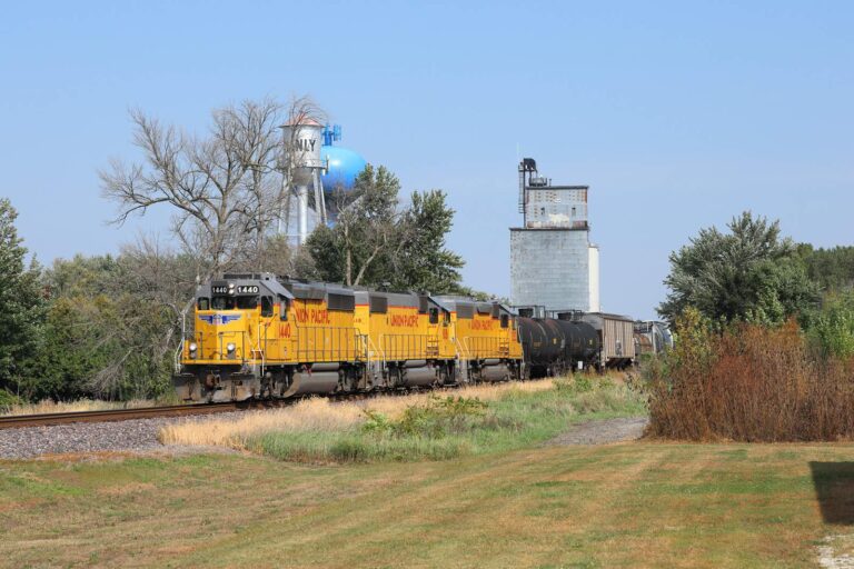
Photo: Jerry Huddleston, CC BY 4.0
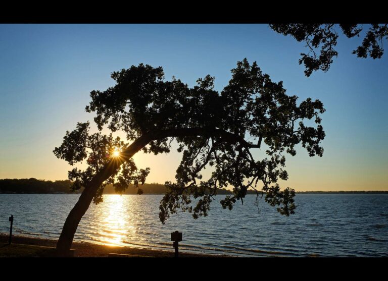
Photo: Dusty J, CC BY 2.0
Photo: Jerry Huddleston, CC BY 2.0
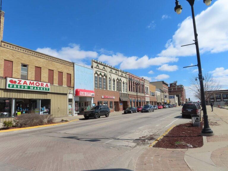
Photo: David Wilson, CC BY 2.0
The questions Iowa's Bremer County anglers trade at the bait counter
How many boat ramps does Bremer County have in the mapped data?
The mapped layer lists 13 ramps.
Which Iowa water has the biggest size figure in Bremer County?
Waverly Impoundment sits at the top of the list with 120 acres.
Which fish lead the Fish Iowa lists for Bremer County?
Fish Iowa lists channel catfish on the most waters in the county, then largemouth bass, black crappie and bluegill; a listing shows presence, not a catch.
Does Bremer County have an Iowa marina or bait counter?
There are 1; Riverside Bait comes first.
From which Iowa town does Bremer County govern?
Waverly.
Which tags are carried by Hawkeye anglers in Bremer County?
Anglers 16 and older need a valid Iowa fishing license; the Iowa DNR fee table prints $22 for a resident annual fishing license and $48 for a nonresident, and trout anglers add a separate trout fee.
Which Iowa counties lie closest to Bremer County?
Chickasaw County, Black Hawk County and Butler County sit nearest.
How many fish may I keep from Iowa water in Bremer County?
Limits come from the booklet's statewide rows unless the water has its own entry, and an entry replaces the statewide limit for the fish it names; each lake and river page on this site prints its entry. The rules here are from the 2026 Iowa Fishing Regulations, an Iowa DNR summary booklet that prints no effective or end date; the Iowa DNR had published no 2027 booklet or rule that this site could find when it was checked.
Is there a row for every water in Bremer County?
Every one of the 11 waters on file is here, as a linked page or a row with coordinates.
Where do Iowa limits change in Bremer County?
3 waters with a page here carry their own entry in the booklet, beginning with Cedar River (Nashua to La Porte City).
Hitch the boat for prairie water in Bremer County
Match the water to its booklet entry before filling a cooler.