Ohio River Fishing in Illinois
The Illinois side of the Ohio River, pool by pool: 3 IDNR pages.
 Pick for bluegillPiscifun Carbon X ultralight spinning reel28% OFFSale $57.99
Photo: Gary Todd, CC0 1.0
First Illinois notes on the Ohio River
IDNR splits the Ohio River into 3 Illinois pages, one per pool or reach, and this page ties them together. IDNR pool sizes sum to 67,032 acres.
There are 8 mapped ramps on the IDNR map and 13 gauges on the river. The state line with Kentucky runs down it.
IDNR IFishIllinois river pool pages, IDNR boat ramp layer, NOAA NWPS and USGS gauge lists; read November 4, 2026.
Illinois pools along the Ohio River
| Pool or reach | Acres (IDNR) | Mapped ramps | First IDNR rating | USGS gauges nearby | Counties |
|---|---|---|---|---|---|
| Ohio River, Olmsted Pool | 20,290 | 3 | 2 | Massac County and 2 other counties | |
| Ohio River, Open River | 23,000 | 1 | 2 | Alexander and Pulaski counties | |
| Ohio River, Smithland Pool | 23,742 | 4 | 3 | Gallatin County and 2 other counties |
IDNR fishing outlook ratings and survey notes as printed on the IFishIllinois page, read November 4, 2026. Pool acres as printed on each IDNR pool page.
Launching onto the Ohio River
- Ohio River – Smithland Pool Shawneetown Boat RampOhio River, Smithland Pool, Gallatin County
- Ohio River – Smithland Pool Cave in Rock Boat RampOhio River, Smithland Pool, Hardin County
- Ohio River – Smithland Pool Elizabethtown Boat RampOhio River, Smithland Pool, Hardin County
- Ohio River – Smithland Pool Golconda Marina Boat RampOhio River, Smithland Pool, Pope County
- Ohio River – Olmsted Pool Joppa Boat RampOhio River, Olmsted Pool, Massac County
- Ohio River – Olmsted Pool 3rd Street Boat RampOhio River, Olmsted Pool, Massac County
- Ohio River – Olmsted Pool Brockport Boat RampOhio River, Olmsted Pool, Massac County
- Ohio River – Open River Cairo Boat RampOhio River, Open River, Alexander County
IDNR IFishIllinois map, boat ramp and launch layer of October 2025 (KML; name, waterbody and notes as printed), read November 5, 2026.
Gauge-by-gauge stages on the Ohio River
| NWS gauge | Reading | Flow | Flood category | Time (UTC) |
|---|---|---|---|---|
| Ohio River at Shawneetown | 15.32 ft | 68.2 kcfs | no flooding | 2026-11-05 18:30:00 UTC |
| Ohio River at Golconda | 29.9 ft | – | no flooding | 2026-11-05 18:00:00 UTC |
| Ohio River at Olmsted Lock and Dam Headwater | 22.75 ft | – | no flooding | 2026-11-05 18:00:00 UTC |
| Ohio River at Olmsted Lock and Dam Tailwater | 15.17 ft | – | not defined | 2026-11-05 18:00:00 UTC |
| Ohio River at Smithland Lock and Dam | 12.79 ft | 71.6 kcfs | no flooding | 2026-11-05 19:00:00 UTC |
| Ohio River at Paducah | 15.95 ft | 89.1 kcfs | no flooding | 2026-11-05 18:00:00 UTC |
| Ohio River at Cairo | 12.64 ft | 210 kcfs | no flooding | 2026-11-05 18:00:00 UTC |
NOAA National Water Prediction Service gauge readings (water.noaa.gov), read November 5, 2026; dated readings, not live (kcfs = thousand cubic feet per second).
These are dated NOAA readings from 2026-11-05 18:00:00 UTC; each pool page links back here because a gauge is not tied to a pool by distance alone.
The Ohio River on USGS gauges
| USGS gauge | Latest reading | Time (ET) |
|---|---|---|
| Ohio River At Smithland Dam, Smithland, Ky | 316,000 cfs, 12.81 ft gage height | Jun 19 12:56 am Not updated since Jun 19, 2008. |
| Ohio River At Paducah, Ky | 15.95 ft gage height | Nov 5 5:00 pm |
| Ohio River At Olmsted, Il | 101,000 cfs, 22.76 ft gage height | Nov 5 5:00 pm |
| Ohio River At Cairo, Il (corps) | 12.67 ft gage height | Nov 5 5:00 pm |
US Geological Survey provisional data, retrieved Nov 5, 2026 5:33 pm ET. Provisional readings can be revised.
USGS instantaneous values, provisional.
Illinois limits that apply on the Ohio River
| Species group | Daily limit | Statewide rule as printed |
|---|---|---|
| Alligator Gar | 1 per 24 hours | Harvest limit is 1 Alligator Gar per 24 hours. |
| Blue, Channel, and Flathead Catfish | no limit | There are no daily harvest or size limits, except as specified under Site Specific Regulations. |
| Bluegill, Redear Sunfish, Other Sunfish | no limit | There are no harvest or size limits, except as specified under Site Specific Regulations. |
| Crappie (White, Black or Hybrid Crappie) | no limit | There are no daily harvest or size limits, except as specified under Site Specific Regulations. |
| Lake Sturgeon | no possession | Protected; No possession. |
| Largemouth Bass, Smallmouth Bass, Spotted Bass | 6 (combined) | Daily harvest limit is 6 Bass, either singly or in the aggregate, except as specified under Site Specific Regulations. In rivers and streams and their tributaries statewide, except for the Mississippi, Ohio (including Golconda Marina), and Wabash Rivers, the d |
| Muskellunge, Northern Pike, and their Hybrid | muskellunge 1, northern pike 3 | All Muskellunge and Muskellunge hybrids (Tiger Muskie) taken must be 36" in total length or longer, except as specified under Site Specific Regulations. No more than 1 Muskellunge or Muskellunge hybrid (Tiger Muskie) may be taken per day, except as specified u |
| Paddlefish | 2 | Daily harvest limit is 2 Paddlefish. Please refer to Site Specific Regulations for the Mississippi River between Illinois and Iowa and the Mississippi River between Illinois and Missouri. |
| Striped Bass (Ocean Rockfish), White Bass, Yellow Bass, and their Hybrids | no limit under 17 inches; 3 at 17 inches or longer | There are no daily harvest limits or minimum size limits for Striped Bass (Ocean Rockfish), White Bass, Yellow Bass, and their hybrids, which are less than 17" in total length, except as specified under Site Specific Regulations. For these fish 17" in total le |
| Trout and Salmon | 5 (combined) | Daily harvest limit is 5 trout or salmon, either singly or in the aggregate. |
| Walleye, Sauger, or their Hybrid | 6 (combined) | All Walleye, Sauger, or their hybrid (Saugeye) taken must be 14" in total length or longer, except in the Mississippi River, Wabash River, or except as specified under Site Specific Regulations. Daily harvest limit is 6 Walleye, Sauger, or their hybrid, either |
Digest rules along the Ohio River
| Water as printed | Species | Rule as printed (code) |
|---|---|---|
| Ohio River (Between IL & KY) | Alligator Gar | Catch and Release Fishing Only (9) |
| Ohio River (Between IL & KY) | Blue or Flathead Catfish | 13 inch Minimum Length Limit; No Daily Harvest Limit for Fish greater than or equal to 13 inches and less than 35 inches; 1 Fish Daily Harvest Limit for Fish greater than or equal to 35 inches |
| Ohio River (Between IL & KY) | Channel Catfish | 13 inch Minimum Length Limit; No Daily Harvest Limit for Fish greater than or equal to 13 inches and less than 28 inches; 1 Fish Daily Harvest Limit for Fish greater than or equal to 28 inches |
| Ohio River (Between IL & KY) | Large or Smallmouth Bass | 12 inch Minimum Length Limit |
| Ohio River (Between IL & KY) | Northern Pike | 24 inch Minimum Length Limit; 3 Fish Daily Harvest Limit |
| Ohio River (Between IL & KY) | Pure Muskellunge or Tiger Muskie | 36 inch Minimum Length Limit; 1 Fish Daily Harvest Limit |
| Ohio River (Between IL & KY) | Redear Sunfish | 20 Fish Daily Harvest Limit |
| Ohio River (Between IL & KY) | Rock Bass | 15 Fish Daily Harvest Limit |
| Ohio River (Between IL & KY) | Striped, White, Yellow, or Hybrid Striped Bass | 30 Fish Daily Harvest Limit, singly or in the aggregate, with no more than 4 Fish greater than or equal to 15 inches |
| Ohio River (Between IL & KY) | Walleye, Sauger, or Hybrid Walleye | 14 inch Minimum Length Limit; 6 Fish Daily Harvest Limit |
| Ohio River (Between IL & KY) | White, Black, or Hybrid Crappie | 20 Fish Daily Harvest Limit |
| Ohio River – Smithland Pool Tributary Streams | Large or Smallmouth Bass | 12 inch Minimum Length Limit |
Site-specific regulations as printed in the 2026 Illinois Fishing Information digest (IDNR) page 46, read November 4, 2026.
Licenses where the Ohio River splits two states
- Reciprocity (digest)Each state will recognize the sport fishing licenses and appropriate permits of the other state on the main stem and from the banks of the Ohio River, excluding embayments and tributaries where the Ohio River forms the state boundary. Embayments and tributaries shall be defined as a straight line between opposite points where the tributary or embayment connects with the main body of the Ohio River. The fishing regulations adopted by the state issuing a sport fishing license apply to the licenses when fishing each state’s respective waters, except that, all fishermen shall conform with the regulations of the state in which they are fishing, unless the regulations of the fishermen’s …
Anglers 16 and older carry an Illinois fishing license ($15 a year for residents, $31.50 for nonresidents in 2026).
IDNR 2026 Illinois Fishing Information digest (IDNR), read November 4, 2026.
 For the bluegill herePiscifun Carbon XT ultralight spinning reel25% OFFSale $59.99
What IDNR stocked along the Ohio River
| Year | Species as listed | Number, all pools |
|---|---|---|
| 2024 | Striped Bass x White Bass (Wiper) | 20,402 |
| 2023 | Largemouth Bass | 18,600 |
| 2022 | Largemouth Bass | 18,000 |
IDNR fish stocking table on ifishillinois.org (year, water, species, size class and number as listed; no stocking dates published), read November 4, 2026.
A few miles of blacktop from Ohio River
Where to buy crawlers and minnows near Ohio River
- Egyptian Hills Marina Incmarina, Creal Springs, 26 miles
- Just Add Water Bait Tackle & Morebait and tackle shop, Marion, 29 miles
- Dunn's Sporting Goodsbait and tackle shop, Marion, 36 miles
One more river beside the Ohio River
- Mississippi River15 pool pages
- Illinois River6 pool pages
- Rock River7 pool pages
The counties Ohio River runs through
- Massac County
- Pope County
- Pulaski County
- Alexander County
- Gallatin County
- Hardin County
Piscifun tackle to load up before the Ohio River


Piscifun and Amazon links are affiliate links; the site earns a commission on qualifying purchases.
Lakes and river bends close to Ohio River, in pictures
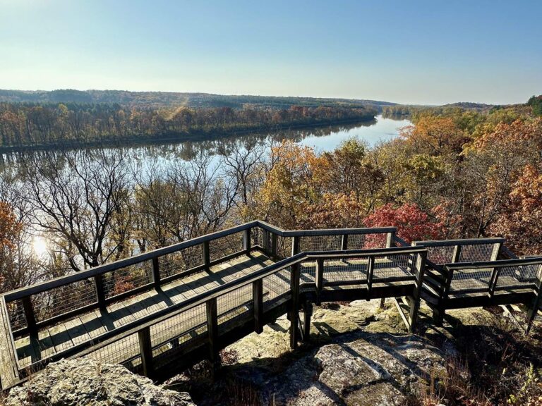
Photo: Seclusive Nature, CC BY-SA 4.0
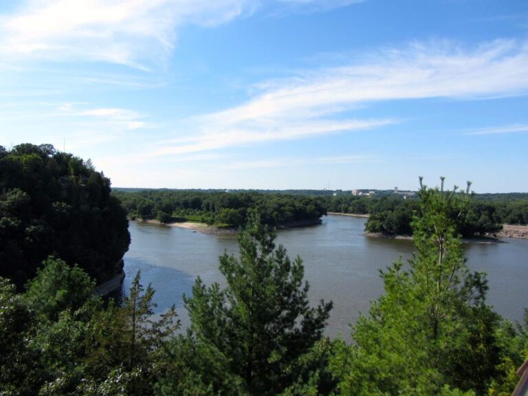
Photo: Richie Diesterheft, CC BY-SA 2.0

Photo: Gerry Dincher, CC BY-SA 2.0

Photo: USFWS Midwest Region, Public domain
The Ohio River, sorted out question by question
Which IDNR pages cover the Ohio River?
IDNR keeps 3 pages for it: Olmsted Pool, Open River and Smithland Pool.
How many launches does IDNR map on the Ohio River?
8 ramps are mapped, Ohio River – Olmsted Pool Brockport Boat Ramp among them.
Does my neighbour-state license work on the Ohio River?
The digest has reciprocity with Kentucky for it. Anglers 16 and older carry an Illinois fishing license ($15 a year for residents, $31.50 for nonresidents in 2026).
Which species live in the Ohio River?
The pool pages list hybrid striped bass and largemouth bass.
Does the digest print extra rules for the Ohio River?
Statewide digest row for Largemouth Bass, Smallmouth Bass, Spotted Bass: Daily harvest limit is 6 Bass, either singly or in the aggregate, except as specified under Site Specific Regulations. The same row adds a separate rule for rivers and streams, quoted in the limits band. See 2 site-specific entries in the limits band.
Is the Ohio River in flood?
The table above holds 7 NOAA gauges.
Where do anglers on the Ohio River buy tackle?
Egyptian Hills Marina Inc is first on our list.
Which part of the Ohio River is listed first?
Start with Ohio River, Olmsted Pool; every pool page has its ramps and ratings.
Pick a pool on the Ohio River
Read the reciprocity rules before you cross the channel.