Fishing by Idaho County
Fishing in all 44 Idaho counties: lakes, high mountain lakes, rivers, IDFG access sites, launches, stocking, special rules and shops.
Photo of Hells Canyon Reservoir: Sam Beebe, CC BY 2.0

 Pick for salmonPiscifun Viper X spinning reel50% OFFSale $39.99
A
- Ada County
- Adams County
B
- Bannock County
- Bear Lake County
- Benewah County
- Bingham County
- Blaine County
- Boise County
- Bonner County
- Bonneville County
- Boundary County
- Butte County
C
- Camas County
- Canyon County
- Caribou County
- Cassia County
- Clark County
- Clearwater County
- Custer County
E
- Elmore County
F
- Franklin County
- Fremont County
G
- Gem County
- Gooding County
I
- Idaho County
J
- Jefferson County
- Jerome County
K
- Kootenai County
L
- Latah County
- Lemhi County
- Lewis County
- Lincoln County
M
- Madison County
- Minidoka County
N
- Nez Perce County
O
- Oneida County
- Owyhee County
P
- Payette County
- Power County
S
- Shoshone County
T
- Teton County
- Twin Falls County
V
- Valley County
W
- Washington County
Gem State water pictured beside Fishing by Idaho County
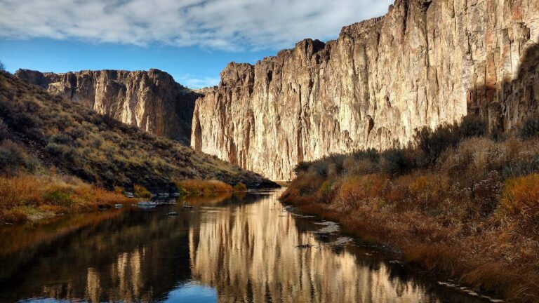
Photo: BLMIdaho, CC BY 2.0
Photo: Eric Fredericks, CC BY-SA 2.0
Photo: Ken Lund, CC BY-SA 2.0
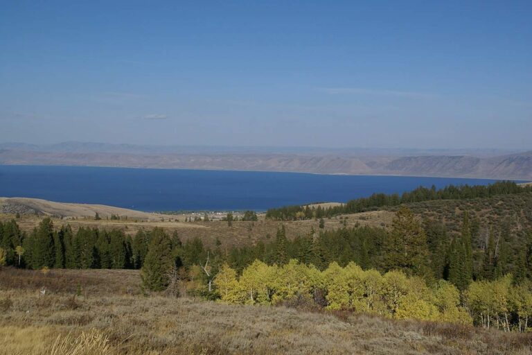
Photo: Hermann Luyken, CC0 1.0

The Idaho counties list, explained
Which IDFG region covers each county?
Region lines follow drainages, so a county page names the region that holds most of its listed waters (Southwest 10, Magic Valley 8, Southeast 7, Upper Snake 7, Panhandle 5, Clearwater 5, Salmon 2).
Where do the launches on a county page come from?
The IDFG Fishing and Boating Access Sites layer, the BLM recreation site layer and the Forest Service recreation layer.
Are alpine lakes listed by county?
Yes, every named high mountain lake the Planner places in the county is listed with its acreage, linked when it has a page.
Is the county seat printed?
Yes, with 2020 Census counts for the county and its seat.
What rule blocks print on an Idaho county page?
The rule blocks printed for the lakes and streams inside it, plus the region table for most of its listed waters.
Can I see stream flow by county?
Yes, the USGS gauges inside each county print live readings.
Why is a county page not linked yet?
It sits in the Idaho release queue and turns into a link once it goes live.
Which counties list the most alpine lakes?
Idaho County (442), Custer County (196) and Valley County (170) carry the longest high mountain lake lists in the Planner.
 For the salmon herePiscifun AlumiX spinning reel46% OFFSale $64.99
Gem State rules, records and directories beside the counties list
- Every Idaho water, A to Zlakes, rivers, counties, towns and fish on one list
- Idaho license fees and rulesstatutory fees, IDAPA gear rules, the seven region tables
- Region bag limitsall seven IDFG region tables, line by line
- Special rules by waterlakes and rivers IDFG prints a rule block for
- Steelhead and salmondefinitions, permit validation, federal listings
- Free Fishing Daythe one June Saturday with no license needed
- Idaho state recordsrecords IDFG announced during 2026
- Stockinghatchery releases printed on Planner pages
- Water levelsUSGS lake gauges and Corps dam readings
- High mountain lakesalpine lakes the Planner lists, by region and county
- Boat rampsIDFG, BLM and Forest Service launches
- Fishing access sitesIDFG walk-in and bank access without a ramp
- Bait and tackle shopsfly shops, bait counters and marinas by IDFG region
- Guides and outfittersdirectory listings for guided trips
- Tournamentsderbies, bass events and posted winners
- Threatened and endangered fishbull trout, Kootenai sturgeon, Snake River runs