Arizona Fishing Access Sites
Docks, shore points and recreation sites on Arizona water, county by county from AZGFD, Park Service and Forest Service layers.
 Angler pickPiscifun Viper X spinning reel50% OFFSale $39.99
Photo of Parker Canyon Lake: Alan Stark, CC BY-SA 2.0
Arizona fishing access points that are not trailer ramps
AZGFD, the National Park Service and the Forest Service map docks, boat-in sites, ADA fishing spots and recreation sites on Arizona water. 10 with enough facts have a page here, across 8 counties.
Details appear as each agency’s layer prints them. Sites with a boat ramp sit on the launch pages of the lake they serve.
AZGFD Fish & Boat reference layers (ArcGIS service), read November 16, 2026.
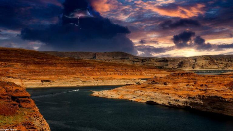
Photo of Lake Powell: G. Yancy, CC BY 2.0
Arizona shore and dock access, county by county
Apache County
- Luna Lake Day Use AreaUSFS recreation site (Boating – Motorized)
Cochise County
- Parker Canyon Lake Fishing AreaUSFS recreation site (Lake and Pond Fishing)
Coconino County
- Lower Lake Mary Fishing AreaUSFS recreation site (Lake and Pond Fishing)
- Upper Lake Mary Fishing AreaUSFS recreation site (Boating – Motorized)
Graham County
- Riggs Flat Lake Fishing AreaUSFS recreation site (Lake and Pond Fishing)
Maricopa County
- Apache Lake Marina & ResortUSFS recreation site (Boating – Motorized)
Pima County
- Rose Canyon Lake Fishing AreaUSFS recreation site (Lake and Pond Fishing)
Santa Cruz County
- Pena Blanca Lake Fishing Area on Peña Blanca LakeUSFS recreation site (Lake and Pond Fishing)
Yavapai County
- Granite Basin Boating SiteUSFS recreation site (Boating – Non-Motorized)
- Lynx Lake – South Shore Boat RampUSFS recreation site (Boating – Non-Motorized)
AZGFD Fish & Boat reference layers (ArcGIS service), read November 16, 2026.
Map of Arizona access spots that have coordinates
Arizona access sites, answered
How many Arizona access sites get their own page?
Arizona counts 10, each with its own page.
Which Arizona water collects the most of these sites?
None stands out.
What is an access point?
A public approach, dock or recreation site that an agency maps on or beside the water.
Who maps these sites?
AZGFD, the National Park Service and the Forest Service, each from its own layer.
Do the sites charge fees?
Only where the Forest Service record prints a fee row; the page shows it as printed.
Is overnight camping possible at these Arizona sites?
Where the agency record lists camping, the site page says so.
Does an access point need a license?
The site needs none, but anglers 10 and older need an Arizona license to fish.
Where are the trailer launches?
On the lake pages, which list each ramp the layers map.