Fishing in McCurtain County, Oklahoma
County seat: Idabel. Population 30,814.
- 2lake pages
- 16Corps ramps
- 1river pages
 Pick for smallmouth bassPiscifun Chaos Pro CNC baitcasting reel25% OFFSale $97.99
Photo of Broken Bow Lake: usacetulsa, CC BY 2.0
Sizing up the creeks and lakes of McCurtain County
With Idabel as its seat, McCurtain County reported 30,814 residents to the 2020 Census. For ODWC purposes, the county's listed lakes sit in the ODWC Southeast Region.
The county counts 2 lake guides; Broken Bow Lake spreads widest. Trailers can splash at 16 Corps-listed ramps from the USACE inventory. Without a boat there are 1 fishing pier or area, including 1 fishing piers. The county appears in 11 stocking rows across the 2024 and 2025 reports.
Census 2020 population; ODWC Where To Fish pages and NHD lake outlines; USACE Tulsa District recreation features; ODWC stocking reports 2024 and 2025; read November 3, 2026.
Pins for each McCurtain County ramp, pier and lake
USACE Tulsa District ramp and fishing feature points; GNIS and NHD lake points; river points as noted on each river page; read November 3, 2026.
City lakes and reservoirs of McCurtain County
| Lake | Acres (source) | Max depth (ODWC) | Kind | Corps ramps | Fish named |
|---|---|---|---|---|---|
| Broken Bow Lake | 14,200 (ODWC) | 169 ft | reservoir (U.S. Corps of Engineers) | 9 | largemouth bass, smallmouth bass, spotted bass |
| Pine Creek Lake | 3,750 (ODWC) | 57.4 ft | reservoir (U.S. Corps of Engineers) | 0 | largemouth bass, spotted bass, white bass |
Shortest drives from Idabel to lake pages outside McCurtain County.
| Lake | From Idabel | Acres (source) | Max depth (ODWC) | Kind | Corps ramps | Fish named |
|---|---|---|---|---|---|---|
| Raymond Gary Lake | 26 miles west | 263 (ODWC) | 22 ft | reservoir | 0 | largemouth bass, bluegill, redear sunfish |
| Schooler Lake | 34 miles northwest | 23 (ODWC) | 25 ft | reservoir | 0 | largemouth bass, channel catfish, bluegill |
| Hugo Lake | 36 miles west | 11,592 (ODWC) | 51.5 ft | reservoir (U.S. Corps of Engineers) | 8 | largemouth bass, spotted bass, white bass |
| Ozzie Cobb Lake | 40 miles northwest | 58 (ODWC) | 22 ft | reservoir | 0 | largemouth bass, channel catfish, black crappie |
| Clayton Lake | 52 miles northwest | 66 (ODWC) | reservoir | 0 | ||
| Nanih Waiya Lake | 57 miles northwest | 131 (ODWC) | 25 ft | reservoir | 0 | largemouth bass, channel catfish, white crappie |
Acres, depth, shoreline and volume as printed on the ODWC Where To Fish page. NHD outline acreage where ODWC prints none; ramps from the USACE Tulsa District layer; read November 3, 2026.
 For the smallmouth bass herePiscifun AlinoX 300 low profile baitcaster34% OFFSale $104.99
Species tallied on water near McCurtain County
Out to 50 miles from Idabel, channel catfish shows up on more lake pages than anything else.
ODWC Fish Species of Interest, stocking reports and state records, counted per lake page within 50 miles; not a survey of fish numbers.
Other named impoundments across McCurtain County
4 smaller named lakes sit in McCurtain County, shown by size where known.
| Water | Acres (source) | Nearest place |
|---|---|---|
| Forty-one Cut-off Lake | 270 (NHD outline), 77% in Oklahoma | Haworth |
| Ward Lake | 251 (NHD outline) | Haworth |
| Gunn Lake | 190 (NHD outline), 97% in Oklahoma | Haworth |
| New Lake | 112 (NHD outline), 97% in Oklahoma | Haworth |
ODWC Where To Fish pages and USGS NHD outlines, read November 3, 2026.
Rivers crossing McCurtain County
- Lower Mountain Fork RiverODWC trout area, ODWC Where To Fish page, 1 USGS gauge
Other named streams of McCurtain County (3)
- East Fork Glover Riverriver
- Glover River1 USGS gauge
- West Fork Glover Riverriver
USGS stream stations planted in McCurtain County
| USGS gauge | Latest reading | Time (ET) |
|---|---|---|
| Mountain Fork Near Eagletown, Ok | 140 cfs, 0.76 ft gage height | Nov 11 11:30 pm |
| Little River Blw Lukfata Creek, Nr Idabel, Ok | 15 cfs, 4.60 ft gage height | Nov 11 11:30 pm |
| Mountain Fork At Smithville, Ok | 25 cfs, 6.46 ft gage height | Nov 11 11:30 pm |
| Glover River Near Glover, Ok | 0 cfs, 1.76 ft gage height | Nov 11 11:30 pm |
US Geological Survey provisional data, retrieved Nov 12, 2026 12:34 am ET. Provisional readings can be revised.
ODWC Where To Fish river pages, USGS GNIS names, USACE ramps and USGS gauges (live readings); read November 3, 2026.
Putting a boat in around McCurtain County
- Carson Creek East Boat Ramp on Broken Bow LakeBroken Bow Lake, 2 lanes, concrete
- Carson Creek Firefly Dr Boat Ramp on Broken Bow LakeBroken Bow Lake, 1 lane, concrete, USACE use fee
- Carson Creek Hawk Dr Boat Ramp on Broken Bow LakeBroken Bow Lake, 1 lane, concrete
- Holly Creek Boat Ramp on Broken Bow LakeBroken Bow Lake, 1 lane, earth
- Mccurtain County Wma Boat Ramp on Broken Bow LakeBroken Bow Lake, 1 lane, concrete
- Panther Creek Boat Ramp on Broken Bow LakeBroken Bow Lake, 1 lane, earth
- Stevens Gap Marina Boat Ramps on Broken Bow LakeBroken Bow Lake, 2 lanes, concrete, courtesy dock
- Stevens Gap Northeastern Boat Ramp on Broken Bow LakeBroken Bow Lake, 2 lanes, concrete
- Stevens Gap Northwestern Boat Ramp on Broken Bow LakeBroken Bow Lake, 1 lane, concrete
- Little River Park C Boat RampCorps site, 1 lane, concrete, courtesy dock
- Little River Park E Boat RampCorps site, concrete, courtesy dock
- Lost Rapids Boat RampCorps site, 2 lanes, concrete, courtesy dock, USACE use fee
- Mountain Fork Park Boat RampCorps site, 2 lanes, crushed stone, USACE use fee
- Pine Creek Cove East Boat RampCorps site, 2 lanes, concrete, courtesy dock, USACE use fee
- Pine Creek Cove L Area Boat RampCorps site, 1 lane, concrete, courtesy dock, USACE use fee
- Turkey Creek Boat RampCorps site, 1 lane, concrete
This list is the Corps inventory; launches run by cities or the GRDA come on top.
Walk-up fishing in McCurtain County
- Pine Creek Fishing Pierfishing pier
USACE Tulsa District recreation features (boat ramp layer, inventory year 2021), read November 3, 2026. USACE Tulsa District recreation features (fishing feature layer), read November 3, 2026.
Lake elevations reported for McCurtain County
| Lake | Pool elevation | Previous reading | Top of conservation pool | Reading time |
|---|---|---|---|---|
| Broken Bow Lake | 590.15 ft | 590.1 ft | 599.5 ft | 03 NOV 2026 @ 08:00 CDT |
| Pine Creek Lake | 425.67 ft | 425.69 ft | 438.0 ft | 03 NOV 2026 @ 08:00 CDT |
One reading per lake, as printed in the dated Corps morning report (datum not given).
USACE Tulsa District Daily Morning Reservoir Report, reading of 03 NOV 2026 @ 08:00 CDT (one dated reading, not live; feet as printed, datum not printed).
Stocking report lines for McCurtain County waters
| Year | Water | Species (as printed) | Number | Size (in) |
|---|---|---|---|---|
| 2025 | Broken Bow Lake | Florida LMB | 80,065 | 1.5 |
| 2025 | Lower Mountain Fork River | Brown Trout | 9,624 | 6-7.5 |
| 2025 | Lower Mountain Fork River | Rainbow Trout | 127,588 | 9-13 |
| 2025 | Lower Mountain Fork River | Rainbow Trout | 1,919 | 14-25 |
| 2024 | Beavers Bend Park | Rainbow Trout | 8,462 | 9-14 |
| 2024 | Beavers Bend Park | Rainbow Trout | 528 | 14-24 |
| 2024 | Broken Bow Lake | Florida LMB | 100,246 | 1.5 |
| 2024 | Lower Mountain Fork River | Brown Trout | 20,008 | 7 |
| 2024 | Lower Mountain Fork River | Rainbow Trout | 86,224 | 9-14 |
| 2024 | Lower Mountain Fork River | Rainbow Trout | 730 | 14-24 |
| 2024 | Lower Mountain Fork River | Rainbow Trout | 25,870 | 4.5 |
ODWC Fisheries Division Public Stocking Reports 2024 and 2025 (2025 report, 2024 report), species abbreviations as printed (LMB = largemouth bass), read November 3, 2026.
The 2026-27 statewide rows for McCurtain County anglers
Waters of McCurtain County without their own ODWC rule use these statewide limits. ODWC prices the annual Oklahoma fishing license at $31 for residents and $81 for nonresidents.
| Species | Daily limit | Size limit |
|---|---|---|
| Largemouth and/or Smallmouth Bass | 6 (combined) | 1 (one) over 16 inches |
| Spotted Bass | no daily limit | no size limit |
| Channel and/or Blue Catfish | 15 (combined) | Only 1 Blue Catfish over 30 inches |
| Flathead Catfish | 5 | no size limit |
| White and/or Black Crappie | 37 (combined) | no size limit |
| Striped Bass | 5 (except Lake Texoma) | no size limit |
| Striped Bass Hybrids | 20 | Only 5 fish over 20 inches |
| White Bass | no daily limit | no size limit |
| Trout | See trout regulations | no size limit |
| Walleye, Sauger and/or Saugeye | 6 (combined) | 14 inch minimum |
| Paddlefish | See paddlefish regulation | no size limit |
| Alligator Gar | 1 | no size limit |
In rivers and streams: black bass (largemouth, smallmouth, and spotted): six combined per day, only one of which may be a smallmouth bass. Largemouth and smallmouth bass must be 14 inches or longer. No size limit on spotted bass.
ODWC special regulations inside McCurtain County (3)
| Area | Limits | Methods and restrictions |
|---|---|---|
| Little River | statewide limits | (Below Pine Creek Lake Dam) Methods: Trotlines, throwlines, limblines, yo-yos and juglines prohibited from the dam downstream for a distance of 2,000 feet. (Also see “Tailwaters” regulations.) |
| Lower Mountain Fork River Trout Area | statewide limits | Allowed methods: one rod and reel per person. Note: For more trout regulations, see Trout Regulations. |
| Ouachita WMA | Channel and/or blue catfish: six combined per day. | Allowed methods: rod and reel only. |
Limits as printed on the ODWC statewide daily and size limits page (2026-2027 Oklahoma Fishing and Hunting Regulations (ODWC); PDF), read November 3, 2026. Special regulations as printed on the ODWC Public Fishing Areas Special Regulations pages, read November 3, 2026.
Heavy fish on the ODWC list from around McCurtain County
| Species | Division | Weight | Water | Date |
|---|---|---|---|---|
| Brown Trout | rod and reel | 17 lbs 4.64 ozs | Lower Mountain Fork River | 04/10/2005 |
| Buffalo, Smallmouth | rod and reel | 66 lbs 3.00 ozs | Broken Bow Lake | 05/03/2019 |
| Pickerel, Chain | rod and reel | 2 lbs 10.00 ozs | Lower Mountain Fork River | 04/22/1982 |
| Buffalo, Smallmouth | unrestricted | 50 lbs 4.00 ozs | Broken Bow Lake | 05/20/2010 |
| Carp, Common | unrestricted | 48 lbs 13.00 ozs | Broken Bow Lake | 05/16/2010 |
ODWC state record fish list (keeper: Oklahoma Department of Wildlife Conservation), read November 3, 2026.
Spending tackle money inside McCurtain County
Shops listed in McCurtain County
- Beavers Bend Fly Shopfly shop, Broken Bow
- Hookers Live Bait Fire & Icebait and tackle shop, Broken Bow
- JC's Storebait and tackle shop, Valliant
- Beavers Bend Marinamarina, Broken Bow
- Marina Beavers Bendmarina, Broken Bow
Licensed guides near McCurtain County
- Beavers Bend Fly Fishing Guide Servicefishing guide, Broken Bow, (580)583-4412
- Beavers Bend Fly Fishing Guide Service And Broken Bow Fly Shopfishing guide, (580)538-4412
- Beavers Bend Fly Shopfishing guide, (918)808-3730
- Beavers Bend Flyshopfishing guide, Broken Bow, (580)494-6071
- Bigfoot Bass Guidefishing guide, (580)286-8984
- Broach's Guide Serivefishing guide, (479)216-4928
- Broken Bow Lake Crappie Guide Servicefishing guide, (580)236-0040
- Broken Bow Lake Family Crappie Guide Servivefishing guide, (580)306-1050
- Broken Bow Lake Guide Servicefishing guide, (870)582-4561
- Broken Bow Trout Profishing guide, Broken Bow, (580)982-3670
- Bruce's Guide Servicefishing guide, Broken Bow, (580)306-5222
- Bub's Guide Servicefishing guide, (580)212-5910
Yellow Pages listings, ODWC Bait & Tackle Nearby lists and the ODWC licensed fishing guide list (guides matched by the waters they list), read November 3, 2026.
Near McCurtain County
Main streets of McCurtain County with water nearby
- Idabelpop. 6,961
- Broken Bowpop. 4,228
Just over the county road from McCurtain County
- Pushmataha County41 miles northwest
- Choctaw County46 miles west
- Le Flore County54 miles north
- Latimer County60 miles northwest
Piscifun reels and a lip grip packed for McCurtain County


Piscifun and Amazon links are affiliate links; the site earns a commission on qualifying purchases.
The lakes and creeks around McCurtain County, photographed
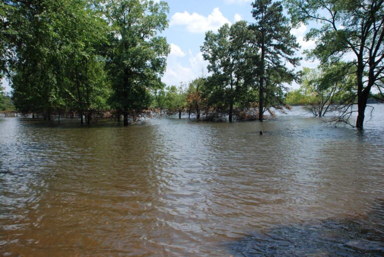
Photo: usacetulsa, CC BY 2.0
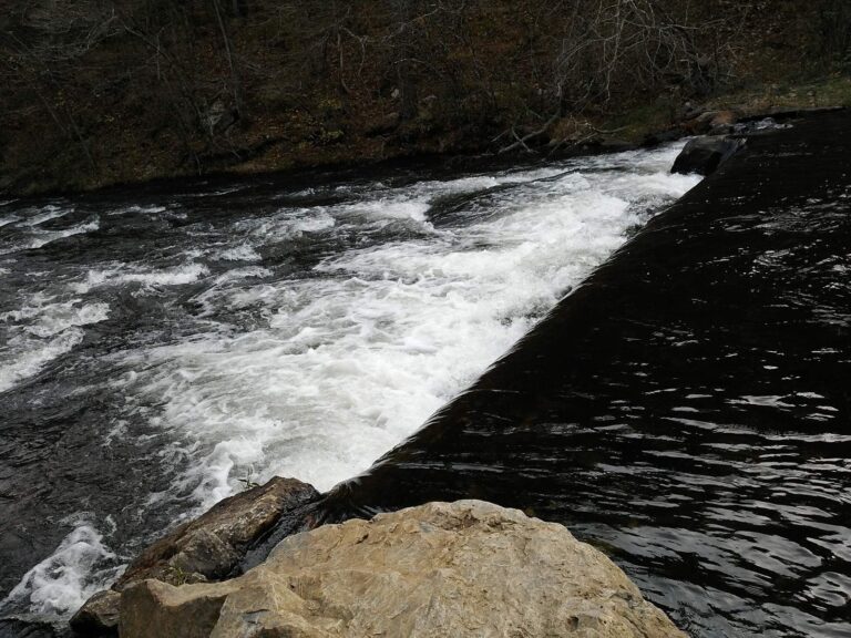
Photo: Michael Gras, M.Ed, CC BY 2.0
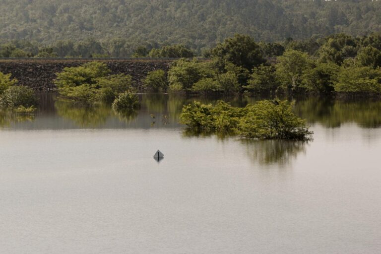
Photo: usacetulsa, CC BY 2.0
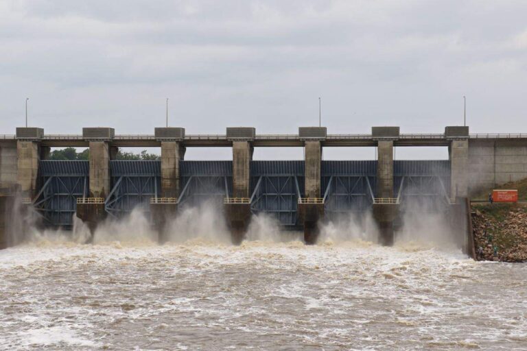
Photo: usacetulsa, CC BY 2.0
Sooner anglers ask about McCurtain County water
Which ramps in McCurtain County show up in USACE data?
16 ramps in the Corps data; Carson Creek East Boat Ramp on Broken Bow Lake is one.
Which impoundment in McCurtain County spreads over the most ground?
Broken Bow Lake, at 14,200 acres by ODWC's figure.
What should an angler visiting McCurtain County go after?
Channel catfish top the count of lake pages within 50 miles, followed by largemouth bass, bluegill and black crappie.
Is there a bait and tackle shop in McCurtain County?
Beavers Bend Fly Shop leads a list of 5.
Are there licensed guides for McCurtain County water?
12 guides name its water on the ODWC list.
Which town is the McCurtain County county seat?
Idabel holds the courthouse.
Which fishing license fits McCurtain County?
ODWC prices the annual Oklahoma fishing license at $31 for residents and $81 for nonresidents.
What county is closest to McCurtain County?
Closest by centre point: Pushmataha County, Choctaw County and Le Flore County.
Which ODWC area rules reach McCurtain County?
ODWC prints 3 special regulations for areas in or by this county, starting with Little River; the table above shows each.
Has ODWC released fish into McCurtain County water?
The 2024 and 2025 reports carry 11 rows; the newest lists 80,065 Florida LMB at 1.5 in (2025) in Broken Bow.
Which ODWC record lines name McCurtain County water?
Brown Trout, 17 lbs 4.64 ozs (rod and reel), from Mt. Fork River (04/10/2005).
Plan a Saturday on McCurtain County water
Lake pages carry ramps, species and ODWC area rules.