Lower Mountain Fork River Fishing
An Oklahoma trout stream through McCurtain County.
 Pick for troutPiscifun Carbon X ultralight spinning reel28% OFFSale $57.99
Photo: Michael Gras, M.Ed, CC BY 2.0
A quick look at the Lower Mountain Fork River
An Oklahoma trout stream, the Lower Mountain Fork River drains part of McCurtain County. ODWC gives directions as follows: The Lower Mountain Fork River is located 3 miles east of Hochatown on SH 259A. Broken Bow is the handiest Census town, roughly 7 miles away by air.
USGS posts numbers from 1 USGS gauge on this stream. It appears on the ODWC trout area list. Questions go to the ODWC Southeast Region.
Distances on this page run from a USGS gauge on the Lower Mountain Fork River, not from a mapped river point.
USGS GNIS domestic names, Oklahoma stream points, read November 3, 2026; ODWC Where To Fish page, wildlifedepartment.com, read November 3, 2026. Census 2023 places.
 For the trout herePiscifun Carbon XT ultralight spinning reel25% OFFSale $59.99
ODWC notes on the Lower Mountain Fork River
- Facilities (ODWC)Oklahoma State Parks manages campgrounds with full RV hookups, cabins and hiking trails.
- Campgrounds ODWC listsBeavers Bend State Park, Broken Bow USACE, Pine Creek USACE
ODWC Where To Fish page, wildlifedepartment.com, read November 3, 2026.
The trout calendar ODWC sets for the Lower Mountain Fork River
ODWC lists its trout stocking season as year-round; the designated area is Twelve-mile portion of the Lower Mountain Fork River and its tributaries from the Broken Bow Reservoir Spillway downstream to the U.S. HWY 70 Bridge. About five miles of this designated trout stream lies within Beavers Bend State Park, in McCurtain County.
- Trout Regulations
- Image
- General Trout Regulations
ODWC trout area information and trout regulations, read November 3, 2026.
What hits a lure on the Lower Mountain Fork River
ODWC page text, stocking rows or records tie each fish to the Lower Mountain Fork River; the list is not a survey.
ODWC Where To Fish pages, stocking reports and the ODWC record table; read November 3, 2026.
Flow numbers off the Lower Mountain Fork River gauges
| USGS gauge | Latest reading | Time (ET) |
|---|---|---|
| Mountain Fork Near Eagletown, Ok | 148 cfs, 0.79 ft gage height | Nov 5 6:30 pm |
US Geological Survey provisional data, retrieved Nov 5, 2026 7:34 pm ET. Provisional readings can be revised.
On screen: USGS readings for Mountain Fork near Eagletown, OK.
USGS instantaneous values, provisional; site list read November 3, 2026.
Ramps that drop into the Lower Mountain Fork River
You will not find the Lower Mountain Fork River on the Corps ramp map; nearby ramps follow.
If the Lower Mountain Fork River ramp lot fills up
- Stevens Gap Marina Boat Ramps on Broken Bow LakeBroken Bow Lake, 10 miles
- Stevens Gap Northeastern Boat Ramp on Broken Bow LakeBroken Bow Lake, 10 miles
- Stevens Gap Northwestern Boat Ramp on Broken Bow LakeBroken Bow Lake, 11 miles
- Carson Creek Hawk Dr Boat Ramp on Broken Bow LakeBroken Bow Lake, 11 miles
- Carson Creek East Boat Ramp on Broken Bow LakeBroken Bow Lake, 11 miles
Private ranches line much of the Lower Mountain Fork River; get permission first.
USACE Tulsa District recreation features (boat ramp layer, inventory year 2021), read November 3, 2026; USGS gauges.
Fish trucks on the Lower Mountain Fork River
| Year | Species as printed | Number | Size (in) |
|---|---|---|---|
| 2025 | Brown Trout | 9,624 | 6-7.5 |
| 2025 | Rainbow Trout | 127,588 | 9-13 |
| 2025 | Rainbow Trout | 1,919 | 14-25 |
| 2024 | Brown Trout | 20,008 | 7 |
| 2024 | Rainbow Trout | 86,224 | 9-14 |
| 2024 | Rainbow Trout | 730 | 14-24 |
| 2024 | Rainbow Trout | 25,870 | 4.5 |
ODWC Fisheries Division Public Stocking Reports 2024 and 2025 (2025 report, 2024 report), species abbreviations as printed (LMB = largemouth bass), read November 3, 2026.
Fish that can ride home from the Lower Mountain Fork River
| Species | Daily limit | Size limit |
|---|---|---|
| Largemouth and/or Smallmouth Bass | 6 (combined) | 1 (one) over 16 inches |
| Spotted Bass | no daily limit | no size limit |
| Channel and/or Blue Catfish | 15 (combined) | Only 1 Blue Catfish over 30 inches |
| Flathead Catfish | 5 | no size limit |
| White and/or Black Crappie | 37 (combined) | no size limit |
| Striped Bass | 5 (except Lake Texoma) | no size limit |
| Striped Bass Hybrids | 20 | Only 5 fish over 20 inches |
| White Bass | no daily limit | no size limit |
| Trout | See trout regulations | no size limit |
| Walleye, Sauger and/or Saugeye | 6 (combined) | 14 inch minimum |
| Paddlefish | See paddlefish regulation | no size limit |
| Alligator Gar | 1 | no size limit |
Rivers and streams carry their own black bass rule: In rivers and streams: black bass (largemouth, smallmouth, and spotted): six combined per day, only one of which may be a smallmouth bass. Largemouth and smallmouth bass must be 14 inches or longer. No size limit on spotted bass.
Statewide ODWC rows apply on the Lower Mountain Fork River unless an area rule below says otherwise.
The Lower Mountain Fork River in the area rules
- MethodsAllowed.
- Methodsone rod and reel per person. Note: For more trout regulations, see Trout Regulations.
Area Specific Fishing Regulations on the ODWC page, as printed, wildlifedepartment.com, read November 3, 2026.
Anglers 18 and older carry an Oklahoma fishing license ($31 annual for residents, $81 for nonresidents in 2026).
Limits as printed on the ODWC statewide daily and size limits page (2026-2027 Oklahoma Fishing and Hunting Regulations (ODWC); PDF), read November 3, 2026.
Big fish history on the Lower Mountain Fork River
| Species | Weight | Division | Angler | Date |
|---|---|---|---|---|
| Brown Trout | 17 lbs 4.64 ozs | rod and reel | Jason Archie | April 10, 2005 |
| Pickerel, Chain | 2 lbs 10.00 ozs | rod and reel | Eric Lowe | April 22, 1982 |
ODWC state record fish list (keeper: Oklahoma Department of Wildlife Conservation), read November 3, 2026.
Neighbouring rivers to the Lower Mountain Fork River, side by side
Nearest in this list: Kiamichi River, some 35 miles out.
| River | Distance | USGS gauges | Corps ramps | ODWC species |
|---|---|---|---|---|
| Lower Mountain Fork River | 1 | 0 | 3 | |
| Kiamichi River | 35 miles west | 3 | 0 | 5 |
| Lower Red River | 52 miles west | 1 | 0 | 6 |
| Poteau River | 94 miles north | 2 | 0 | 0 |
| Lower Canadian River | 100 miles north | 1 | 0 | 7 |
| Lee Creek | 102 miles north | 2 | 0 | 0 |
USGS gauges, USACE ramp layer, ODWC species lines; read November 3, 2026.
Near the Lower Mountain Fork River
A second lake near the Lower Mountain Fork River
- Broken Bow Lake15 miles
- Pine Creek Lake27 miles
- Raymond Gary Lake37 miles
Minnow and worm stops ODWC pairs with the Lower Mountain Fork River
- Beavers Bend Fly Shop545 Beavers Bend Rd, Broken Bow, OK 74728, (580) 494-6071
- Beavers Bend Marina196 Marina Ln, Broken Bow, OK 74728, (580) 722-5200
- Hookers Live Bait Fire & Ice9114 US-259, Broken Bow, OK 74728, (580) 236-4784
- Walmart Supercenter (Broken Bow)501 S Park Dr, Broken Bow, OK 74728, (580) 584-3324
- Walmart Supercenter (Idabel)1907 SE Washington St, Idabel, OK 74745, (580) 286-6696
- JC's Store4456 Pine Creek Rd, Valliant, OK 74764, (580) 933-4957
- Red Barn Propane – Bait, Tackle2926 US-Hwy 70, Hugo, OK 74743, (580) 317-9479
- Walmart Supercenter (Hugo)1911 E Jackson St, Hugo, OK 74743, (580) 326-6494
Tackle aisles a red dirt road from the Lower Mountain Fork River
- Hookers Live Bait Fire & Icebait and tackle shop, Broken Bow, 11 miles
- Beavers Bend Fly Shopfly shop, Broken Bow
- Beavers Bend Marinamarina, Broken Bow
- Marina Beavers Bendmarina, Broken Bow
- JC's Storebait and tackle shop, Valliant
Paying a pro to put you on the Lower Mountain Fork River fish
- Beavers Bend Fly Fishing Guide Servicefishing guide, Broken Bow, (580)583-4412
- Beavers Bend Fly Fishing Guide Service And Broken Bow Fly Shopfishing guide, (580)538-4412
- Beavers Bend Fly Shopfishing guide, (918)808-3730
- Beavers Bend Flyshopfishing guide, Broken Bow, (580)494-6071
- Bigfoot Bass Guidefishing guide, (580)286-8984
- Broken Bow Trout Profishing guide, Broken Bow, (580)982-3670
- Captain Kinsey Guide Servicefishing guide, (405)314-1882
- Dean Guide Servicefishing guide, (580)306-4350
Where anglers bunk near the Lower Mountain Fork River
- Broken Bow7 miles
- Idabel15 miles
Current past the Lower Mountain Fork River watershed
- Kiamichi River35 miles
- Lower Red River52 miles
- Poteau River94 miles
- Lower Canadian River100 miles
- Lee Creek102 miles
the Lower Mountain Fork River by county line
- McCurtain County
Piscifun reels and a lip grip packed for the Lower Mountain Fork River


Piscifun and Amazon links are affiliate links; the site earns a commission on qualifying purchases.
The lakes and creeks around Lower Mountain Fork River, photographed

Photo: Thomas & Dianne Jones, CC BY 2.0
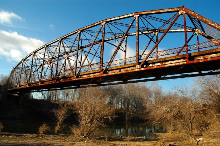
Photo: Clinton Steeds, CC BY 2.0
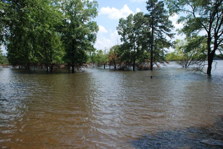
Photo: usacetulsa, CC BY 2.0
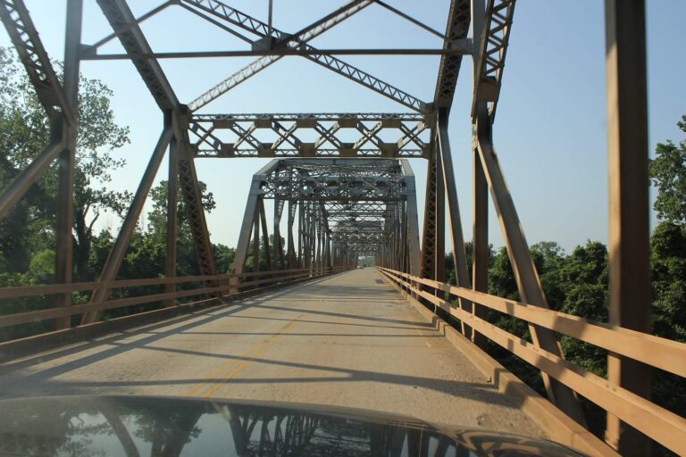
Photo: Nicolas Henderson, CC BY 2.0
The Lower Mountain Fork River, asked by Sooner anglers
Through which counties does the Lower Mountain Fork River pass?
The Lower Mountain Fork River is located 3 miles east of Hochatown on SH 259A. Its banks fall within McCurtain County.
Is the Lower Mountain Fork River rising or dropping right now?
The flow band carries Mountain Fork near Eagletown, OK, live.
Where would a kayaker put in on the Lower Mountain Fork River?
Use Stevens Gap Marina Boat Ramps on Broken Bow Lake, some 10 miles away.
Does ODWC post special rules for the Lower Mountain Fork River?
In rivers and streams: black bass (largemouth, smallmouth, and spotted): six combined per day, only one of which may be a smallmouth bass. Largemouth and smallmouth bass must be 14 inches or longer. No size limit on spotted bass. See the area rules too.
Which ODWC license covers the Lower Mountain Fork River?
Anglers 18 and older carry an Oklahoma fishing license ($31 annual for residents, $81 for nonresidents in 2026).
Which fish swim the Lower Mountain Fork River per ODWC?
Expect brown trout, rainbow trout and chain pickerel, among others.
Which Oklahoma store outfits a trip on the Lower Mountain Fork River?
ODWC pairs it with Beavers Bend Fly Shop at 545 Beavers Bend Rd, Broken Bow, OK 74728.
Are there public banks on the Lower Mountain Fork River?
Much stream frontage in Oklahoma is private; use public ramps, parks and ODWC areas, or ask the landowner.
Is the Lower Mountain Fork River a trout area?
ODWC lists its trout stocking season as year-round; the designated area is Twelve-mile portion of the Lower Mountain Fork River and its tributaries from the Broken Bow Reservoir Spillway downstream to the U.S. HWY 70 Bridge. About five miles of this designated trout stream lies within Beavers Bend State Park, in McCurtain County.
Has the Lower Mountain Fork River produced an Oklahoma record?
Brown Trout, 17 lbs 4.64 ozs in the rod and reel division, landed by Jason Archie on April 10, 2005.
Mark the Lower Mountain Fork River on the spring calendar
ODWC fees and statewide limits sit on one page.