New York Saltwater Fishing
Long Island Sound, the South Shore, the Peconic and Gardiners bays, the harbor and the tidal Hudson.
 Pick for flounderPiscifun Alloy S inshore spinning reelCheck price at Piscifun
Photo of Peconic Bay: Leonard J. DeFrancisci, CC BY-SA 3.0

New York saltwater fishing from Long Island to the Hudson
New York salt water runs from the tidal Hudson and New York Harbor east along Long Island Sound and the South Shore bays to Peconic and Gardiners bays and Montauk. DEC manages it as the Marine and Coastal District, with its own size, season and bag limits and a free registry in place of a license.
This site maps 202 launches and 578 piers and shore sites on these waters, and 16 DEC artificial reefs offshore.
| Water | Launches | Piers | Shore sites | NOAA stations |
|---|---|---|---|---|
| Long Island Sound | 36 | 24 | 239 | 1 |
| South Shore of Long Island | 54 | 46 | 197 | 0 |
| Peconic Bay | 48 | 4 | 34 | 0 |
| Gardiners Bay | 13 | 2 | 26 | 1 |
| New York Harbor | 1 | 21 | 67 | 1 |
| Tidal Hudson River | 50 | 6 | 15 | 2 |
DEC marine boat launch and fishing access layers, NYS Parks, NOAA CO-OPS, retrieved October 24, 2026.
New York saltwater limits at a glance
| Species | Limit | Season |
|---|---|---|
| Striped Bass | 1; minimum 28" to 31" (slot) | Apr 15 – Dec 15 |
| Summer Flounder (Fluke) | 3; minimum 19" | May 4 – Aug 1 |
Anglers 16 and older who fish for saltwater species, or for migratory fish of the sea, enroll in the free DEC Recreational Marine Fishing Registry instead of buying a license; freshwater fishing takes the DEC license ($25.00 resident, $50.00 nonresident).
 For the flounder herePiscifun NautiX saltwater spinning reel14% OFFSale $94.99
DEC artificial reefs off Long Island
- Rockaway ReefAtlantic Ocean, 1.6 nautical miles south of Rockaway Beach
- Atlantic Beach ReefAtlantic Ocean, 3.0 nautical miles south of Atlantic Beach
- McAllister GroundsAtlantic Ocean, 2.8 nautical miles south of Long Beach
- Hempstead ReefAtlantic Ocean, 3.3 nautical miles south of Jones Beach State Park
- Moriches ReefAtlantic Ocean, 2.4 nautical miles south of Moriches Inlet
- Shinnecock ReefAtlantic Ocean, 2.0 Nautical miles south of Shinnecock Inlet
- Fire Island ReefAtlantic Ocean, 2.0 nautical miles south of the Fire Island Lighthouse
- Kismet ReefGreat South Bay, 120 yards north of the South Beach, between Kismet and the National Seashore dock
- Matinecock ReefLong Island Sound, 0.5 nautical miles north of Peacock Point
- Yellowbar ReefGreat South Bay, 900 yards east of the Robert Moses Fixed Bridge
- Smithtown ReefLong Island Sound, 1.6 nautical miles northwest of Stony Brook Harbor entrance
- Twelve Mile ReefAtlantic Ocean 13.0 nautical miles from Moriches and Shinnecock Inlets
- Huntington/Oyster Bay ReefLong Island Sound, 1.16 nautical miles northeast of Lloyd Point.
- Mattituck ReefLong Island Sound, 2.37 nautical miles northwest of Mattituck Inlet.
- Port Jefferson/Mount Sinai ReefLong Island Sound, 1.79 nautical miles northeast of Port Jefferson Inlet.
- Sixteen Fathom ReefAtlantic Ocean, 13 nautical miles southwest of Fire Island Inlet.
Pictures of fishing water around Saltwater

Photo: Annacecchini, CC BY-SA 4.0

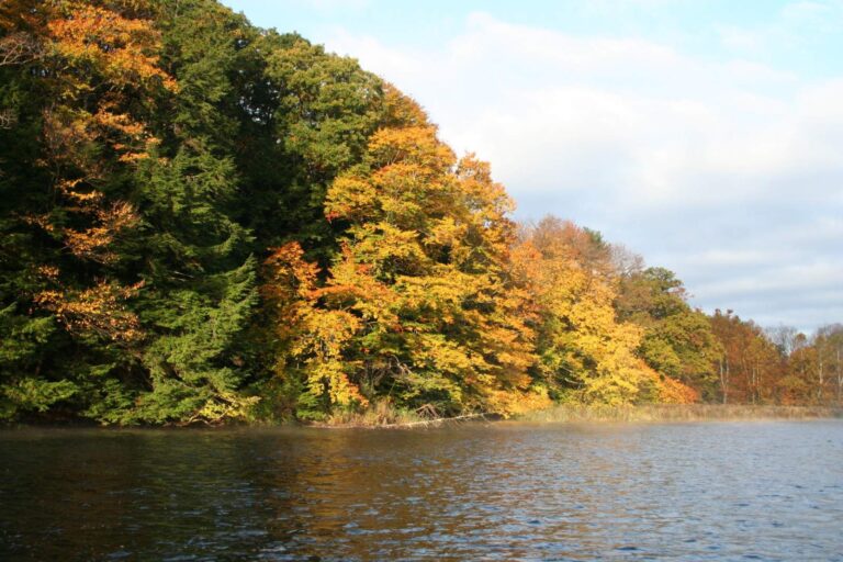
Photo: Ron Shawley, CC BY 3.0

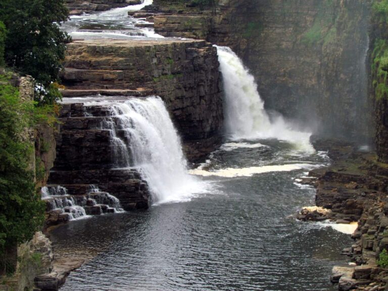
Photo: bobistraveling, CC BY 2.0


Photo: See1,Do1,Teach1, CC BY 2.0

New York saltwater questions
Do I need a license to fish salt water in New York?
Anglers 16 and older who fish for saltwater species, or for migratory fish of the sea, enroll in the free DEC Recreational Marine Fishing Registry instead of buying a license; freshwater fishing takes the DEC license ($25.00 resident, $50.00 nonresident).
What is the striped bass slot in New York salt water?
1; minimum 28" to 31" (slot), apr 15 – dec 15.
When is fluke season?
May 4 – Aug 1, 3; minimum 19".
How many artificial reefs does DEC manage?
16 reef sites in the Sound, the bays and the Atlantic.
Which saltwater area has the most launches here?
South Shore of Long Island, with 54.
Is the tidal Hudson salt water?
Brackish in its lower reach; DEC gives the tidal Hudson its own rule table, with the marine rules applying below the harbor.
Are tide readings on these pages?
Yes, NOAA tide stations print their latest reading on each water page.
Where are saltwater piers?
On each water page and the New York shore fishing page.