New York Water Levels
Live USGS lake gauges, Corps reservoir pools and NOAA tide and Great Lakes stations.
 Angler pickPiscifun Viper X spinning reel50% OFFSale $39.99
Photo of Cannonsville Reservoir: Vonsky87, CC BY-SA 3.0

New York lake gauges from USGS, live
| Lake | Level | Reading | Source |
|---|---|---|---|
| Laurel Lake | 5.22 ft | Oct 25, 2026 | USGS 01304250 |
| Georgica Pond | 2.57 ft | Jun 2, 2026 | USGS 01304705 |
| Hempstead Lake | 21.07 ft | Oct 25, 2026 | USGS 0131079450 |
| Baisley Pond | 5.64 ft | Oct 25, 2026 | USGS 01311820 |
| Great Sacandaga Lake | 756.67 ft | Oct 25, 2026 | USGS 01323500 |
| Saratoga Lake | 203.37 ft | Oct 25, 2026 | USGS 01330884 |
| Hinckley Reservoir | 1,201.27 ft | Oct 25, 2026 | USGS 01343900 |
| Schoharie Reservoir | 1,121.42 ft | Oct 25, 2026 | USGS 01350100 |
| Ohrback Lake | 249.72 ft | Oct 25, 2026 | USGS 01376531 |
| Clove Lake | 129.95 ft | Oct 25, 2026 | USGS 01376547 |
| Pepacton Reservoir | 1,259.82 ft | Oct 25, 2026 | USGS 01414750 |
| Cannonsville Reservoir | 1,125.57 ft | Oct 25, 2026 | USGS 01423910 |
| Neversink Reservoir | 1,425.58 ft | Oct 25, 2026 | USGS 01435900 |
| East Sidney Lake | 1,150.16 ft | Oct 25, 2026 | USGS 01499500 |
| Whitney Point Lake | 973.14 ft | Oct 25, 2026 | USGS 01511000 |
| Arkport Reservoir | 1,227.54 ft | Oct 21, 2026 | USGS 01521000 |
| Almond Lake | 1,257.15 ft | Oct 25, 2026 | USGS 01523000 |
| Chautauqua Lake | 1,307.95 ft | Oct 25, 2026 | USGS 03013946 |
| Mount Morris Lake | 589.49 ft | Oct 25, 2026 | USGS 04224000 |
| Conesus Lake | 817.84 ft | Oct 25, 2026 | USGS 04227980 |
| Cayuga Inlet (cayuga Lake) | 382.55 ft | Oct 25, 2026 | USGS 04233500 |
| Owasco Lake | 712.06 ft | Oct 25, 2026 | USGS 04235396 |
| Onondaga Creek | 459.35 ft | Oct 25, 2026 | USGS 04238500 |
| Onondaga Lake | 363.21 ft | Oct 25, 2026 | USGS 04240495 |
| Stillwater Reservoir | 1,666.83 ft | Oct 25, 2026 | USGS 04256500 |
| Lake George | 319.18 ft | Oct 25, 2026 | USGS 04278000 |
| Lake Champlain North of Whitehall NY | 94.26 ft | Oct 23, 2026 | USGS 04279085 |
| Lake Champlain | 94.24 ft | Oct 25, 2026 | USGS 04294413 |
| Richelieu River (lake Champlain) | 93.95 ft | Oct 25, 2026 | USGS 04295000 |
USGS provisional lake elevation data, refreshed hourly by the site.
Army Corps reservoir pools serving New York
| Station | Water | Agency | Reading | Datum | Recorded |
|---|---|---|---|---|---|
| Mount Morris Dam | Mount Morris Dam | USACE Buffalo District CWMS | 588.93 ft | NGVD29 | October 24, 2026 |
| Almond Lake | Almond Lake | USACE Baltimore District CWMS | 1,257.18 ft | LOCAL | October 24, 2026 |
| Arkport Dam | Arkport Dam | USACE Baltimore District CWMS | 1,227.09 ft | LOCAL | October 24, 2026 |
| East Sidney Lake | East Sidney Lake | USACE Baltimore District CWMS | 1,150.03 ft | LOCAL | October 24, 2026 |
| Whitney Point Lake | Whitney Point Lake | USACE Baltimore District CWMS | 973.16 ft | LOCAL | October 24, 2026 |
USACE CWMS pool readings (Buffalo, Baltimore and Pittsburgh districts) as read October 24, 2026; provisional values.
NOAA tide and Great Lakes stations on New York water
| Station | Water | Kind | Reading | Datum | Recorded |
|---|---|---|---|---|---|
| Ogdensburg | St. Lawrence River | Great Lakes station | 244.1 ft | IGLD85 | October 24, 2026 |
| Alexandria Bay | St. Lawrence River | Great Lakes station | 244.7 ft | IGLD85 | October 24, 2026 |
| Montauk | Gardiners Bay | tide station | 1.1 ft | MLLW | October 24, 2026 |
| Kings Point | Long Island Sound | tide station | 1.25 ft | MLLW | October 24, 2026 |
| The Battery | New York Harbor | tide station | 2.4 ft | MLLW | October 24, 2026 |
| Turkey Point Hudson River NERRS | Tidal Hudson River | tide station | 3.64 ft | MLLW | October 24, 2026 |
| Coxsackie, Hudson River | Tidal Hudson River | tide station | 5.82 ft | MLLW | October 24, 2026 |
| Cape Vincent | Lake Ontario | Great Lakes station | 245.1 ft | IGLD85 | October 24, 2026 |
| Oswego | Lake Ontario | Great Lakes station | 245.28 ft | IGLD85 | October 24, 2026 |
| Rochester | Lake Ontario | Great Lakes station | 245.29 ft | IGLD85 | October 24, 2026 |
| Olcott | Lake Ontario | Great Lakes station | 245.38 ft | IGLD85 | October 24, 2026 |
| Ashland Ave | Niagara River | Great Lakes station | 326.14 ft | IGLD85 | October 24, 2026 |
| American Falls | Niagara River | Great Lakes station | 559.52 ft | IGLD85 | October 24, 2026 |
| Niagara Intake | Niagara River | Great Lakes station | 562.42 ft | IGLD85 | October 24, 2026 |
| Buffalo | Lake Erie | Great Lakes station | 571.36 ft | IGLD85 | October 24, 2026 |
| Sturgeon Point | Lake Erie | Great Lakes station | 571.33 ft | IGLD85 | October 24, 2026 |
NOAA CO-OPS latest water level per station, read October 24, 2026; tide readings are above MLLW, Great Lakes readings on the IGLD datum NOAA prints.
New York lake pages that print a level
- Almond Lake2 gauges
- Baisley Pond1 gauge
- Cannonsville Reservoir1 gauge
- Chautauqua Lake1 gauge
- Clove Lake1 gauge
- Conesus Lake1 gauge
- East Sidney Lake2 gauges
- Great Sacandaga Lake1 gauge
- Hempstead Lake1 gauge
- Hinckley Reservoir1 gauge
- Lake George1 gauge
- Laurel Lake1 gauge
- Neversink Reservoir1 gauge
- Onondaga Lake1 gauge
- Owasco Lake1 gauge
- Pepacton Reservoir1 gauge
- Saratoga Lake1 gauge
- Schoharie Reservoir1 gauge
- Stillwater Reservoir1 gauge
- Whitney Point Lake2 gauges
Rivers are covered as well: 326 active USGS stream gauges feed the flow box on each river page that has one.
The water near Water levels through a lens
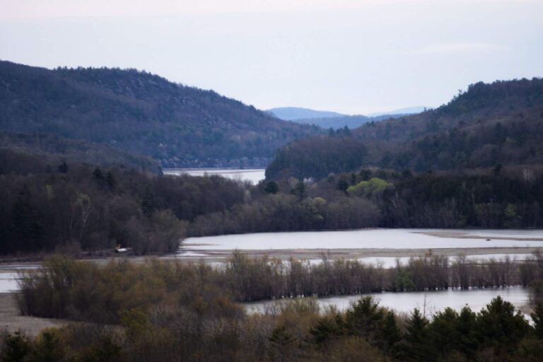
Photo: Tyler A. McNeil, CC BY-SA 4.0

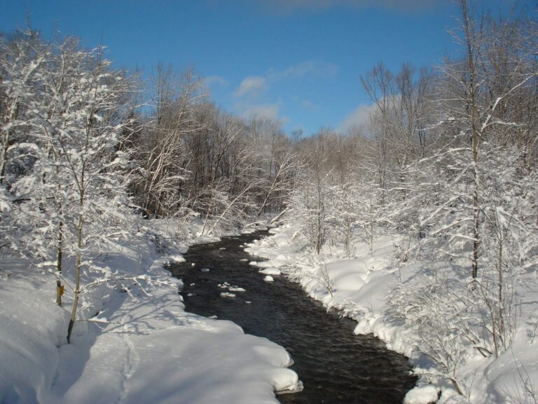
Photo: Antepenultimate, CC BY-SA 4.0

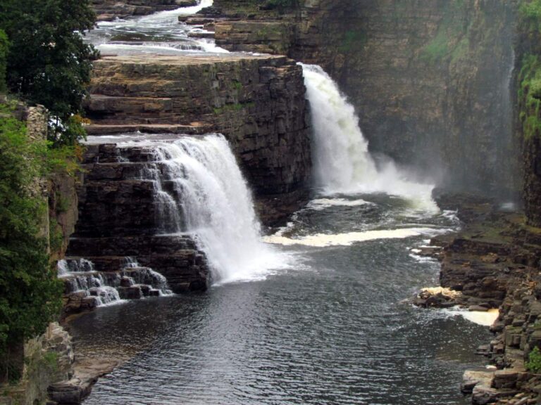
Photo: bobistraveling, CC BY 2.0

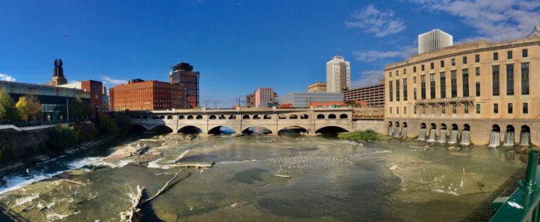
Photo: Andre Carrotflower, CC BY-SA 4.0

New York water level questions
Which New York lakes show a live level here?
29, each a USGS lake gauge in the live table above.
Are Corps of Engineers reservoirs included?
5 Corps series, such as Mount Morris Dam, print their dated reading.
Is the Lake Ontario level shown?
Yes, from the NOAA Great Lakes stations on the New York shore.
Are tide readings on this page?
5 NOAA tide stations on Long Island, the harbor and the tidal Hudson print their latest reading.
Why do Corps and NOAA rows carry a timestamp?
USGS values refresh hourly; Corps and NOAA readings print as read, with their time.
Where are river flows?
Each river page with a USGS gauge shows its own discharge and height.
How many USGS stream gauges are active in New York?
326 in the set used here.
Are these levels official?
They are provisional agency data and can be revised.