Ocmulgee River Fishing
Telfair County and 15 other counties.
 Pick for catfishPiscifun LumiCat II catfish rod48% OFFSale $114.99
Photo: Michael Rivera, CC BY-SA 4.0
The Ocmulgee River: what to expect
Anglers meet the Ocmulgee River, a river, in Telfair County and 15 other counties. About 256 miles of it lie in Georgia. From its midpoint, Macon-Bibb County is roughly 6 miles away. Georgia River Network lists Ocmulgee River Water Trail on it.
Check 6 live gauges before a trip. Access comes through 34 public ramp or put-ins.
the Ocmulgee River outlook from WRD
Here is part of the state forecast for the Ocmulgee River, as written.
“The lower Ocmulgee River is large and sluggish with many meandering bends and some oxbow lakes. The river offers a variety of fishing opportunities, and anglers can look to the Ocmulgee's lower portion for bass, bream and catfish. Guide to Fishing and Floating the Lower Ocmulgee River in PDF (2.33MB). This document contains access and fishing tip information and a color map with river-mile designations.”
Best bets on the Ocmulgee River per WRD: Redear Sunfish, Black Crappie, Catfish, Bluegill, Largemouth Bass.
| Species | WRD prospect (quoted) |
|---|---|
| Largemouth Bass | Current Regulation: largemouth bass 12-inch minimum length limit. Biologists report the Largemouth bass abundances were exceptional in the 2025 fall electrofishing samples, and there is a good distribution among all sizes of fish. |
| Catfish | Expect good numbers of channel and flathead catfish catches. Most channel cats will average 1/2 – 2 1/2 pounds. Flathead catfish will be significantly larger on average than channel catfish and anglers should see plenty of 5-15 pound fish with an occasional 20+ lbs fish. |
| Bluegill | Bluegill are present in the lower section of the river. Due to the high water levels that have persisted in the Ocmulgee in this winter, expect decent numbers and quality sized bluegill. |
| Crappie | Black crappie are present throughout the lower section of the river. Expect slightly lower than average numbers of quality sized black crappie this year. Most of the reeled in by anglers should be in the 8"-12" size range. |
| Redear Sunfish | Redear Sunfish are present throughout the lower section of the river. Expect good numbers of redear sunfish. Most of the fish reeled in by anglers should be in the 5"-11" size range. Some in our electrofishing samples were approaching 3/4 of a pound! |
Georgia WRD fishing forecast (Fishing Forecast – Lower Ocmulgee River), updated February 11, 2026. Full forecast.
 For the catfish herePiscifun Chaos XS round baitcaster36% OFFSale $57.99
The fishery of the Ocmulgee River
Every fish listed is named for the Ocmulgee River in a WRD source.
WRD Water Access Points species flags, WRD trout layer and forecasts.
USGS gauges posted along the Ocmulgee River
Gauges on the Ocmulgee River report every 15 minutes or so to USGS; the latest values are below.
| USGS gauge | Latest reading | Time (ET) |
|---|---|---|
| Ocmulgee River Near Jackson, Ga | 338 cfs, 3.97 ft gage height | Nov 12 5:15 am |
| Ocmulgee River At Ga 18, At Dames Ferry, Ga | 466 cfs, 3.22 ft gage height | Nov 12 5:00 am |
| Ocmulgee River At Macon, Ga | 473 cfs, 5.41 ft gage height | Nov 12 4:30 am |
| Ocmulgee River At Ga 96, Near Bonaire, Ga | 795 cfs, 1.64 ft gage height | Nov 12 5:00 am |
| Ocmulgee River At Us 341, At Hawkinsville, Ga | 947 cfs, 1.21 ft gage height | Nov 12 5:00 am |
| Ocmulgee River At Abbeville, Ga | 1,040 cfs, 0.40 ft gage height | Nov 12 4:45 am |
US Geological Survey provisional data, retrieved Nov 12, 2026 5:33 am ET. Provisional readings can be revised.
Getting on the Ocmulgee River
- Lloyd Shoals Dam Boat Ramp1 lane, Jasper County
- Marjorie Kahn Popper Hand Launchboat ramp, Jasper County
- Wise Creek Canoe Launchboat ramp, Jasper County
- Key Bridge (SR83) Boat Ramp1 lane, Jasper County
- East Juliette Dam Boat Ramp1 lane, Monroe County
- Below Juliette Dam Boat Rampcarry-in launch, fee, Jones County
- Popes Ferry Boat Rampboat ramp, Monroe County
- Amerson Water Works Park on Ocmulgee River near Macon-Bibb County 2carry-in launch, restroom, Bibb County
- Amerson Water Works Park on Ocmulgee River near Macon-Bibb County 1carry-in launch, restroom, Bibb County
- Riverview Park (Spring St Bridge)2 lanes, Bibb County
- Bullards Landing1 lane, Twiggs County
- Knowles (SR96) Boat Ramp2 lanes, Houston County
- Westlake Landing1 lane, Twiggs County
- Dykes Landing1 lane, restroom, Bleckley County
- Uchee Shoals (Downtown Hawkinsville) Boat Ramp1 lane, Pulaski County
- Hawkinsville (Mile Branch Park)2 lanes, Pulaski County
- Sandy Hammock (SR230) Boat Ramp2 lanes, Pulaski County
- Ochise Landing1 lane, Dodge County
- Dodge County Landing1 lane, Dodge County
- Half Moon Landing2 lanes, Wilcox County
- Statham Shoals Landing1 lane, Wilcox County
- McCranie's Landing1 lane, Dodge County
- Hinsons Landing1 lane, Jeff Davis County
- Lumber City Landing1 lane, Telfair County
- McRae's Landing1 lane, Telfair County
- Dodge Lake Landing1 lane, Telfair County
- Burkett's Ferry Landing1 lane, Jeff Davis County
- Horse Creek Wma Boat Ramp1 lane, Telfair County
- Scuffle Bluff Boat Ramp1 lane, Telfair County
- Rocky Hammock Landing1 lane, Jeff Davis County
- Flat Tub Landing1 lane, Coffee County
- Barr's Bluff Landing1 lane, Coffee County
- Coffee County Landing1 lane, Coffee County
- Ben Hill County Landing2 lanes, restroom, Ben Hill County
Water trails on the Ocmulgee River
- Ocmulgee River Water Trailestablished, 253.7 mi
WRD Water Access Points, Georgia water trails layer, USGS gauges.
Keeper rules Georgia sets for the Ocmulgee River
Water-specific rules from the 2026-2027 Georgia Hunting and Fishing Regulations cover parts of the Ocmulgee River.
| Water as printed | Rule |
|---|---|
| Ocmulgee River (downstream of GA Hwy 96 bridge between Houston and Twiggs counties) | Striped bass, white bass and hybrid white-striped bass: limit is two fish, both of which must be 22 inches in length or longer (includes tributaries to these river sections). |
| Species | Daily limit and size | Season |
|---|---|---|
| Black bass (all species combined) | 10 in total, only 5 of which may be Altamaha, Bartrams, Chattahoochee, Coosa, Shoal, Smallmouth, Suwannee, Tallapoosa | Open all year |
| Largemouth bass | Counts toward 10 black bass total; minimum length 12 inches statewide (exceptions on listed lakes and PFAs) | Open all year |
| Spotted bass | Counts toward 10 black bass total; no statewide minimum length (14 inches on Lake Lanier) | Open all year |
| Shoal bass | Counts toward 10 black bass total (only 5 may be shoal and other listed bass); minimum length 15 inches statewide (Flint River below Warwick Dam slot) | Open all year |
| Smallmouth bass | Counts toward 10 black bass total; only 5 of the 10 may be smallmouth and other listed bass; no minimum length | Open all year |
| Striped, white and hybrid bass | 15 in total, only two of which can be 22 inches or longer | Open all year |
| Crappie | 30 | Open all year |
| Bream (sunfish) | 50 in total | Open all year |
| Catfish | No limit | Open all year |
| Walleye | 8 | Open all year |
| Pickerel | 15 | Open all year |
| American and hickory shad | 8 | Open all year |
Limits from the 2026-2027 Georgia Hunting and Fishing Regulations guide; every Georgia limit on one page.
Within reach of the Ocmulgee River
Neighboring lakes to the Ocmulgee River
- Javors Lucas Lake10 miles
- Lake Tobesofkee14 miles
- Houston Lake20 miles
- Lake Juliette22 miles
Bait and tackle stops near the Ocmulgee River
- Grey's Bait And Tacklebait and tackle shop, Macon, 8 miles
- Academy Sports + Outdoors, 195 Tom Hill Sr Boulevardsporting goods store, Macon, 10 miles
- Tobesofkee Lake Storebait and tackle shop, Macon, 10 miles
- GetOutMorbait and tackle shop, Warner Robins, 10 miles
- Central Georgia Marina, Incmarina, Macon, 11 miles
Georgia towns handy to the Ocmulgee River
- Macon6 miles
- Centerville11 miles
- Robins AFB12 miles
- Byron13 miles
Streams to try near the Ocmulgee River
- Murder Creek44 miles
- Towaliga River47 miles
- Little River, Putnam County54 miles
- Little Ogeechee River, Hancock County56 miles
Which counties share the Ocmulgee River
- Telfair County
- Pulaski County
- Twiggs County
- Bibb County
- Wilcox County
- Dodge County
- Houston County
- Butts County
Piscifun reels to rig up for the Ocmulgee River


Piscifun and Amazon links are affiliate links; the site earns a commission on qualifying purchases.
Scenes from the water around Ocmulgee River
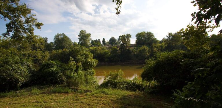
Photo: Alexdi at English Wikipedia, CC BY 3.0

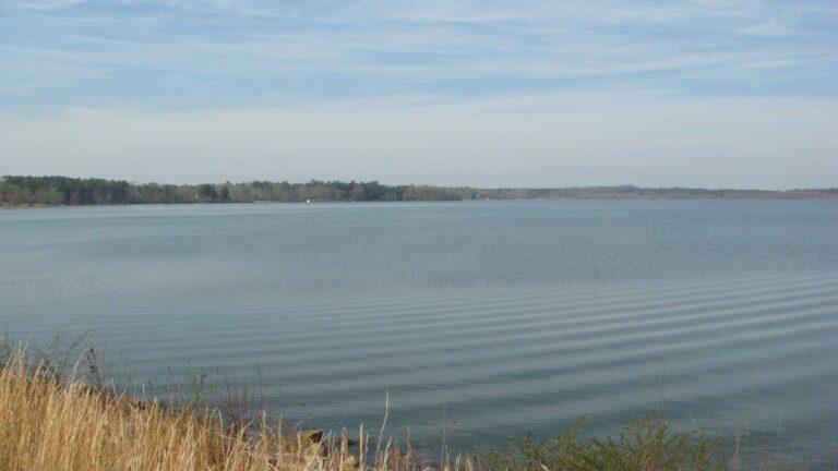
Photo: Light-jet pilot, CC0 1.0

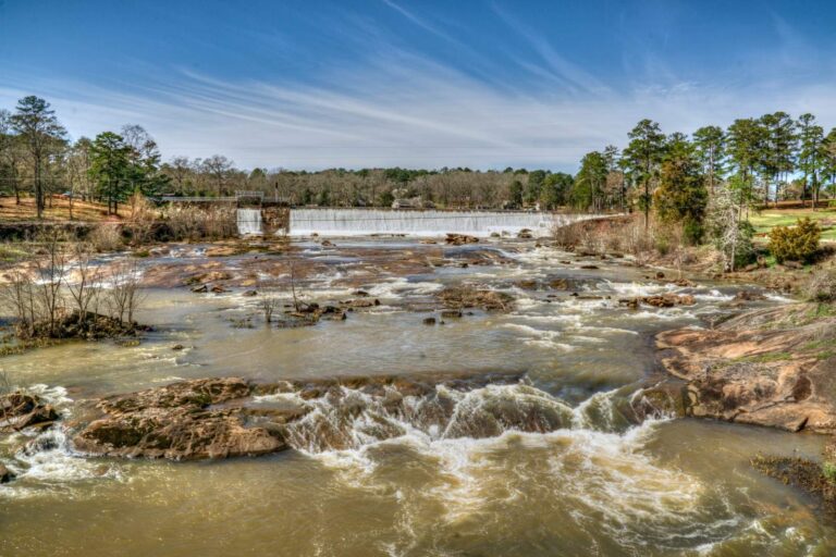
Photo: StephenGA, CC0 1.0

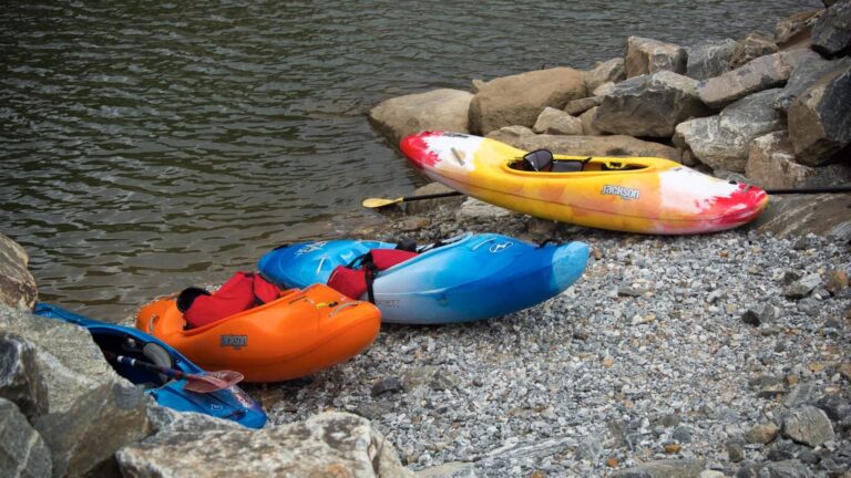
Photo: Grant Gould, CC BY 3.0

Straight answers about the Ocmulgee River
Which Georgia counties does the Ocmulgee River pass through?
Check the maps of Telfair County and 15 other counties.
Will I find trout in the Ocmulgee River?
The trout layer leaves it out.
What height and flow is the Ocmulgee River showing?
The 6 USGS gauges readings sit above.
Will I find a public ramp anywhere on the Ocmulgee River?
34 public ramps, such as Sandy Hammock (SR230) Boat Ramp.
Is there an exception for the Ocmulgee River?
Ocmulgee River (downstream of GA Hwy 96 bridge between Houston and Twiggs counties): Striped bass, white bass and hybrid white-striped bass: limit is two fish, both of which must be 22 inches in length or longer (includes tributaries to these river sections).
Is a trout license needed on the Ocmulgee River?
Georgia asks anglers 16 and older for a fishing license: $15 for residents and $50 for nonresidents, each good for 365 days from purchase.
Is a tackle store close to the Ocmulgee River?
Grey's Bait And Tackle, roughly 8 miles from the midpoint.
Which species does WRD list for the Ocmulgee River?
The state ties largemouth bass, channel catfish, bluegill, black crappie, redear sunfish and shoal bass to it.
Where could I stay for a weekend on the Ocmulgee River?
Macon-Bibb County sits about 6 miles from the channel.
Circle a Saturday for the Ocmulgee River
The gauges and Georgia limits are on this page.