Georgia Artificial Reefs
All 45 CRD inshore and offshore reefs with depths, deployment points and the reef fish limits.
 Pick for offshore fishingPiscifun AlinoX 400 baitcaster with bait clicker25% OFFSale $149.99
Photo of Tallulah Falls Lake: Thomson200, CC0 1.0

Georgia's inshore and offshore artificial reefs
The Coastal Resources Division maps 45 artificial reefs: 30 offshore and 15 inshore, with 460 charted deployment points of culverts, poles, vessels and other material.
Georgia maintains 15 inshore and 31 offshore artificial reefs; the 19 reefs beyond 3 miles offshore are federal Special Management Zones (hand-held and spear gear only).
Every Georgia reef with depth and deployments
| Reef | Kind | Location | Depth | Points | Deployed |
|---|---|---|---|---|---|
| Halfmoon River Reef | inshore | Wassaw sound at the mouths of the halfmoon & bull rivers, chatham county, intert | 0 | ||
| Romerly Marsh Creek (AKA Joe's Cut) Reef | inshore | Wassaw sound at the mouth of romerly marsh creek, chatham county ~11.0 miles fro | 0 | ||
| Ogeechee River Reef | inshore | Ossabaw sound north of marker g"1a" along harvey's island, chatham county, inter | 0 | ||
| Bear River Reef | inshore | St. catherines sound mouth of newell creek, bryan county, intertidal site ~7.5 m | 0 | ||
| Van Dyke Creek Reef | inshore | St. catherines sound nnw of icw marker g"121" mouth of van dyke creek, liberty c | 0 | ||
| Timmons River Reef | inshore | St. catherines sound w of icw marker g"121" on north side of timmons river, libe | 0 | ||
| Four Mile Island Reef | inshore | Sapelo sound ne of four mile point, mcintosh county, intertidal site ~8.1 miles | 0 | ||
| High Point Reef | inshore | Sapelo sound w of high point, sapelo island, mcintosh county, intertidal site ~1 | 0 | ||
| Troupe Creek Reef | inshore | St. simons sound ne of troup creek marina, glynn county, intertidal site ~6.2 mi | 0 | ||
| Jove Creek Reef | inshore | St. simons sound opposite icw marker r"238" at the mouth of jove creek, glynn co | 0 | ||
| Little River Reef | inshore | St. simons sound s of little river bridge, glynn county, subtidal site ~3.8 mile | 0 | ||
| Jekyll Island Pier Reef | inshore | St. simons sound area behind w arm of pier, glynn county, subtidal site ~4.5 mil | 0 | ||
| Henry Vassa Cate (formerly Twin Sisters) Reef | inshore | St. simons sound sw of jekyll pier, glynn county, intertidal site ~4.7 miles to | 0 | ||
| Mud Creek Reef | inshore | St. andrews sound junction of mud, cumberland, and brickhill rivers, camden coun | 0 | ||
| Stafford Island Reef | inshore | Cumberland sound near icw marker g"71", camden county, intertidal ~7.6 miles to | 0 | ||
| SAV Reef | offshore | 6.0 nm southeast of tybee island | 30-40 ft | 16 | 1991 to 2017 |
| BSF Reef | offshore | 4.0 nm southeast of little tybee island | 29 ft | 9 | 2017 to 2019 |
| KC Reef | offshore | 9.0 nm southeast of wassaw island | 40-50 ft | 21 | 1984 to 2021 |
| R7 Reef | offshore | 40 nm east of ossabaw island | 84 ft | 1 | |
| DUA Reef | offshore | 7 nm east of ossabaw island | 35-45 ft | 22 | 1991 to 2021 |
| L Reef | offshore | 23 nm east of ossabaw island | 55-65 ft | 17 | 1977 to 2008 |
| WW Reef | offshore | 50 nm southeast of wassaw sound | 120-130 ft | 2 | 1999 to 2000 |
| CCA-JL (formerly CCA) Reef | offshore | 22 nm east of st catherines island | 50-60 ft | 22 | 1992 to 2020 |
| CAT Reef | offshore | 7.0 nm east of st catherines island | 35-45 ft | 25 | 1995 to 2021 |
| BL Reef | offshore | 3.0 nm east of st catherines island | 9-15 ft | 6 | 2001 to 2001 |
| R8 Reef | offshore | 64 nm east of st catherine island | 144 ft | 1 | |
| JY (formerly J) Reef | offshore | 17.5 nm east of st catherines island | 55-75 ft | 18 | 1975 to 2020 |
| M2R6 Reef | offshore | 49 nm east of blackbeard island | 102 ft | 1 | |
| BH Reef | offshore | 2.5 nm east of blackbeard island | 10-16 ft | 4 | 2001 to 2001 |
| KTK Reef | offshore | 7.0 nm east of blackbeard island | 35-45 ft | 35 | 1990 to 2021 |
| R2 Reef | offshore | 38 nm east of sapelo island | 72 ft | 1 | |
| DW Reef | offshore | 70 nm east of sapelo island | 150-170 ft | 1 | 1998 to 1998 |
| ALT Reef | offshore | 6 nm east little st simons | 30-40 ft | 55 | 1990 to 2021 |
| DRH Reef | offshore | 15 nm east of little st simons | 45-55 ft | 25 | 1998 to 2021 |
| R3 Reef | offshore | 62 nm east of st simons island | 102 ft | 1 | |
| F Reef | offshore | 9.0 nm east of jekyll island | 35-45 ft | 51 | 1987 to 2021 |
| M1R1 Reef | offshore | 50 nm east of jekyll island | 102 ft | 1 | |
| SFC Reef | offshore | 18.0 nm east of little cumberland island | 45-55 ft | 16 | 1983 to 2020 |
| HLHA (formerly G) Reef | offshore | 23 nm east of little cumberland island | 55-75 ft | 20 | 1973 to 2008 |
| A Reef | offshore | 7 nm east of little cumberland | 30-45 ft | 40 | 1986 to 2010 |
| R5 Reef | offshore | 34 nm east of cumberland island | 72 ft | 1 | |
| CDH (formerly C) Reef | offshore | 13.5 nm east of cumberland island | 45-55 ft | 8 | 1942 to 2007 |
| R4 Reef | offshore | 59 nm east of cumberland island | 60 ft | 1 | |
| KBY Reef | offshore | 8.0 nm east of cumberland island | 35-45 ft | 31 | 1991 to 2004 |
| MRY Reef | offshore | 18 nm east of cumberland island | 50-60 ft | 8 | 1998 to 2001 |
CRD Reef Footprints and Offshore Artificial Reef guide points layers; GPX files on the CRD map files page. Checked October 2026.
What has been sunk on Georgia reefs
Limits for common Georgia reef fish
| Species | Limit and size | Season |
|---|---|---|
| Amberjack | 1; minimum size 28" FL | All year |
| Black Sea Bass | 15; minimum size 12" TL | All year |
| Cobia | 1 per angler, maximum 6 per boat; minimum size 36" FL | March 1 – Oct. 31 |
| Gag Grouper | 2; minimum size 25" TL | All year |
| King mackerel | 3; minimum size 24" FL | All year |
| Spanish mackerel | 15; minimum size 12" FL | All year |
| Red Porgy | 3; minimum size 14" TL | All year |
| Red Snapper | 2; minimum size 20" TL | All year |
| Sheepshead | 15; minimum size 10" FL | All year |
Georgia DNR Coastal Resources Division limits page. Checked October 2026.
Photos of Georgia water to go with Georgia Artificial Reefs
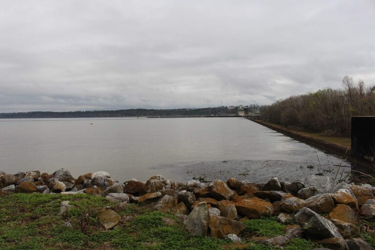
Photo: Michael Rivera, CC BY-SA 4.0

Photo: Rivers Langley; SaveRivers, CC BY-SA 3.0

Photo: Harrison Keely, CC BY 4.0

Photo: Thomson200, CC0 1.0

Georgia artificial reef questions
How many artificial reefs does Georgia have?
45 on the CRD map: 30 offshore and 15 inshore.
Which Georgia reef is deepest?
DW Reef, charted at 150-170 ft.
Where can I get reef coordinates?
Each reef page lists its charted deployment points, and CRD offers GPX files on its map files page.
Are offshore reefs in federal water?
The reefs more than 3 miles out are in federal water, where South Atlantic Fishery Management Council rules apply.
Do I need a reef endorsement?
From January 1, 2027, anglers landing the nine reef and migratory species need the $10 resident or $20 nonresident endorsement.
What material is on Georgia reefs?
concrete rubble, reef ball, concrete culvert and barge, among other items.
How many deployment points are charted?
460 across all reefs.
Can I fish inshore reefs from a small boat?
The inshore sites are the closer ones on the list; check each reef page for its location and depth before running out.