Cochetopa Creek Fishing
Special regulation water in Saguache County.
 Pick for troutPiscifun Carbon X ultralight spinning reel28% OFFSale $57.99
Photo of Gunnison: Jeffrey Beall, CC BY-SA 3.0
A quick portrait of the Cochetopa Creek
The Cochetopa Creek is a Colorado stream flowing through Saguache County. Supplies wait in Cathedral, some 16 miles off.
1 reach, some 6.1 miles, carry rules of their own. Public access runs through Bureau of Land Management, Cochetopa SWA and La Garita Wilderness Area. 1 active gauge send live readings.
CPW Fishing Atlas 2025 layers (special-regulation, Gold Medal and fishing location layers), NHD flowlines, Census places, retrieved October 25, 2026.
How CPW manages trout on the Cochetopa Creek
| Reach | Miles | Rule as printed |
|---|---|---|
| Cochetopa State Wildlife Area boundary | 6.14 | see CPW brochure |
On these Cochetopa Creek reaches the brochure rule replaces the statewide bag.
Regulation entries on the Cochetopa Creek
| Water as printed | Rule | Brochure |
|---|---|---|
| within Cochetopa State Wildlife Area (Snyder Ranch): | Artificial flies and lures only. Trout must be returned to water immediately. | p. 15 |
Special regulations as printed in the 2026 Colorado Fishing brochure (CPW, season March 1, 2026 to March 31, 2027), pp. 11 to 39, checked against CPW Chapter W-1 (as approved 13 November 2025); retrieved October 2026.
CPW special fishing regulation and Quality Waters layers, retrieved October 25, 2026.
 For the trout herePiscifun Carbon XT ultralight spinning reel25% OFFSale $59.99
Public property on the Cochetopa Creek
- Bureau of Land ManagementBLM
- Cochetopa SWASWA, 6,711.7 acres
- La Garita Wilderness AreaWilderness
Stay inside public boundaries along the Cochetopa Creek; trespass rules are strict.
CPW Fishing Atlas fishing location property names and Quality Waters access notes, retrieved October 25, 2026.
Fish that turn up in a Cochetopa Creek creel
Fish shown for the Cochetopa Creek come from CPW sources.
CPW Quality Waters species, state records and stocking report, retrieved October 25, 2026.
USGS readings for the Cochetopa Creek
| USGS gauge | Latest reading | Time (ET) |
|---|---|---|
| Cochetopa Creek Below Rock Creek Near Parlin, Co | 51 cfs, 2.24 ft gage height | Nov 11 11:15 pm |
US Geological Survey provisional data, retrieved Nov 11, 2026 11:33 pm ET. Provisional readings can be revised.
Low winter flows on the Cochetopa Creek concentrate trout in deeper runs.
USGS instantaneous values, provisional; Cochetopa Creek Below Rock Creek Near Parlin, CO.
Ramps and access on the Cochetopa Creek
Public land is the way onto the Cochetopa Creek.
More places to launch near the Cochetopa Creek
- Dome Lakes SWA on Dome Lake UpperDome Lake Upper, 3 miles
CPW boat ramp and Fishing Atlas fishing location layers, USGS gauges, retrieved October 25, 2026.
The keep-or-release rules on the Cochetopa Creek
| Species | Bag and possession | Season |
|---|---|---|
| Trout, arctic char, grayling, salmon and whitefish (not kokanee) | Daily bag 4, possession 8, in aggregate | Open all year, day and night, unless a special regulation says otherwise |
| Brook trout 8 inches or less (bonus) | Daily bag 10, possession 10 | Open all year, day and night, unless a special regulation says otherwise |
| Kokanee salmon | Daily bag 10, possession 10 | Open all year, day and night, unless a special regulation says otherwise |
| Walleye, saugeye and sauger | Daily bag 5, possession 5, in aggregate | Open all year, day and night, unless a special regulation says otherwise |
| Largemouth, smallmouth and spotted bass | Daily bag 5, possession 5, in aggregate | Open all year, day and night, unless a special regulation says otherwise |
| Smallmouth bass | No bag or possession limit | Open all year, day and night, unless a special regulation says otherwise |
| Channel, flathead and blue catfish | Daily bag 10, possession 10, in aggregate | Open all year, day and night, unless a special regulation says otherwise |
| Yellow perch | No bag or possession limit | Open all year, day and night, unless a special regulation says otherwise |
| Northern pike and bullhead | No bag or possession limit | Open all year, day and night, unless a special regulation says otherwise |
Read the west of the Continental Divide rows of the statewide chart for the Cochetopa Creek. Outside its regulated reaches, the Cochetopa Creek follows the statewide chart.
Colorado sells no separate trout stamp; a CPW fishing license covers trout ($44.87 for adult residents, $124.01 for nonresidents), and anglers 16 and older need one.
Statewide bag and possession chart, 2026 Colorado Fishing brochure (CPW, season March 1, 2026 to March 31, 2027), p. 10, retrieved October 25, 2026. All Colorado limits.
Stocking dates for the Cochetopa Creek
Listings for the Cochetopa Creek: 1 listing on the CPW catchable trout report (1 in 2024); latest June 21, 2024.
| Report date | What CPW lists |
|---|---|
| June 21, 2024 | catchable trout, CPW Southwest Region |
CPW Fish Stocking Report (catchable trout of about 10 inches; the date is when CPW added the water to its weekly list), 2024 to October 2026, retrieved October 25, 2026.
Close to the Cochetopa Creek
Backup lakes when the Cochetopa Creek is slow
- Dome Lake Upper3 miles
- Dome Lake Lower3 miles
- McDonough Reservoir7 miles
- Needle Creek Reservoir17 miles
Shops worth the stop before the Cochetopa Creek
- Rod & Reelbait and tackle shop, Creede, 23 miles
- Weekend Warrior Outdoorsmarina, Gunnison, 28 miles
- GSO Fishingbait and tackle shop, Gunnison, 28 miles
- Gunnison River Fly Shopfly shop, Gunnison, 28 miles
Guide businesses near the Cochetopa Creek
- Gunnison Valley Anglers Cofishing guide, Gunnison River, Gunnison
- High Mountain Drifters Guide Service, LLCfishing guide, Gunnison
- Sport Fish Colorado LLCfishing guide, Lake City
- Wolf Creek Anglersfishing guide, South Fork, (719) 873-1414
Towns that work as a base camp for the Cochetopa Creek
- Gunnison28 miles
More streams near the Cochetopa Creek
- Los Pinos Creek5 miles
- Saguache Creek11 miles
- East Pass Creek14 miles
- Cebolla Creek16 miles
County pages touching the Cochetopa Creek
Reels from Piscifun that suit the Cochetopa Creek


Piscifun and Amazon links are affiliate links; the site earns a commission on qualifying purchases.
Species photos for anglers bound for Cochetopa Creek
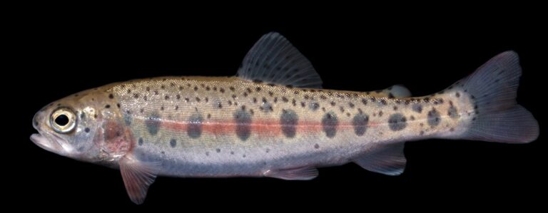
Photo: USFWS Mountain Prairie, Public domain

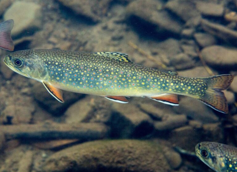
Photo: United States Fish and Wildlife Services, Public domain

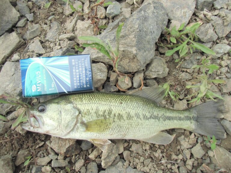
Photo: TMDSA, CC BY-SA 3.0

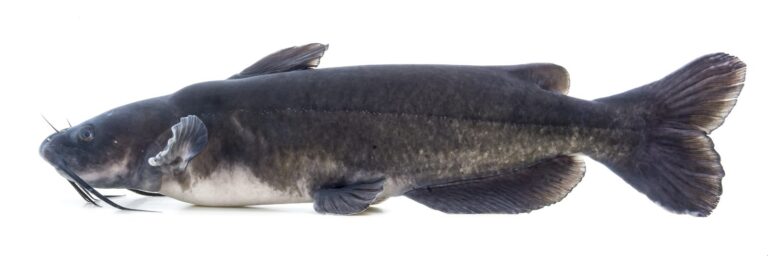
Photo: USFWS Mountain Prairie, Public domain

Straight answers about the Cochetopa Creek
Which Colorado counties does the Cochetopa Creek cross?
Maps put it in Saguache County.
What trout label does the Cochetopa Creek carry?
Yes, it is on the trout report (1 listing on the CPW catchable trout report (1 in 2024); latest June 21, 2024).
Has USGS installed a gauge on the Cochetopa Creek?
Live numbers from 1 USGS gauge fill the flow band.
Which public land touches the Cochetopa Creek?
The atlas names Bureau of Land Management, Cochetopa SWA and La Garita Wilderness Area.
Which CPW chart rows cover the Cochetopa Creek?
Check 1 reach in the table above. The entry says: Artificial flies and lures only. Trout must be returned to water immediately.
What does a CPW license cost for a day on the Cochetopa Creek?
Colorado sells no separate trout stamp; a CPW fishing license covers trout ($44.87 for adult residents, $124.01 for nonresidents), and anglers 16 and older need one.
Where can I buy flies near the Cochetopa Creek?
Closest on our list: Rod & Reel, 23 miles.
Which species turn up in CPW sources for the Cochetopa Creek?
trout, per CPW.
How long is the drive from the Cochetopa Creek to a Colorado town?
Cathedral, roughly 16 miles from where CPW maps the stream.
When did CPW last stock the Cochetopa Creek?
1 listing on the CPW catchable trout report (1 in 2024); latest June 21, 2024.
Aim the truck at the Cochetopa Creek this season
Reach rules change the bag; read them first.