Fishing in Montgomery County, Arkansas
County seat: Mount Ida. Population 8,484 (2020).
- 3lake pages
- 10launches
- 2river pages
 Pick for catfishPiscifun LumiCat II catfish rod48% OFFSale $114.99
Photo of Lake Ouachita: DronePhotographer, CC0 1.0
Montgomery County water in figures
Mount Ida serves as seat of Montgomery County, a county of 8,484 at the 2020 Census. The county holds 3 lakes with their own guide; Lake Ouachita leads on size.
AGFC layers put 10 boat or paddle launches and 7 pier or bank sites in the county. Float or wade Ouachita River and Caddo River, each with a page.
U.S. Census Bureau, 2020 Census counts (TIGERweb) and the 2023 Gazetteer, read November 8, 2026. AGFC access layer (ArcGIS service), read November 8, 2026.
Pins for Montgomery County lakes, rivers and launches
AGFC boat-and-kayak and fishing access layers and AGFC fishing-area lake points, checked November 8, 2026.
Reservoirs to fish in Montgomery County
| Lake | Size | Ramps | Kind | AGFC target fish |
|---|---|---|---|---|
| Lake Ouachita | 40,000 acres | 15 | Corps lake | black bass, bream, catfish |
| North Fork Lake | about 40 acres of mapped outline | 1 | lake | black bass, bream, catfish |
| Caddo Pond | about 2 acres of mapped outline | 0 | mapped pond | black bass, bream, catfish |
Leaving Mount Ida, these paged lakes outside Montgomery County are the shortest drives.
| Lake | From Mount Ida | Size | Ramps | Kind | AGFC target fish |
|---|---|---|---|---|---|
| John Benjamin Glenwood Community Fishing Lake | 17 miles south | not stated | 1 | FCFP pond | bream, catfish, trout (seasonal stocking) |
| Lake Greeson | 25 miles south | 7,260 acres | 16 | Corps lake | black bass, bream, catfish |
| Shady Lake | 26 miles southwest | 25 acres | 0 | lake | black bass, bream, catfish |
| Lake Hamilton | 29 miles east | about 6,673 acres of mapped outline | 3 | reservoir | black bass, bream, catfish |
| Irons Fork Reservoir | 29 miles west | 306 acres | 1 | reservoir | black bass, bream, catfish |
| Family Park | 30 miles east | not stated | 0 | FCFP pond | bream, catfish, trout (seasonal stocking) |
Acreage and depth as AGFC states them in its description of this water (AGFC page), read November 8, 2026. Sizes AGFC does not state print as mapped outline area. Target fish as AGFC lists them.
 For the catfish herePiscifun Chaos XS round baitcaster36% OFFSale $57.99
Which fish AGFC names most often near Montgomery County
The bars tally 50 miles of lake pages around Mount Ida; catfish is named most.
AGFC public fishing area target species, counted per lake page within 50 miles; a listing, not a catch survey.
More still water on the books in Montgomery County
The maps show 10 more named lakes and ponds in Montgomery County, sorted by outline size.
| Water | Size | Kind | Nearest town |
|---|---|---|---|
| Ouachita Lake Nursery Pond | about 24 acres of mapped outline | mapped pond | Crystal Springs |
| Story Pond | about 4 acres of mapped outline | mapped pond | Mount Ida |
| Macedonia Pond | about 3 acres of mapped outline | mapped pond | Pencil Bluff |
| Scout Pond | about 2 acres of mapped outline | mapped pond | Mount Ida |
| Mauldin Ponds | about 2 acres of mapped outline | mapped pond | Mount Ida |
| Womble Pond | about 1 acres of mapped outline | mapped pond | Mount Ida |
| John Byrns Pond | about 1 acres of mapped outline | mapped pond | Pencil Bluff |
| Oden Rifle Range Pond | not stated | mapped pond | Oden |
| Oden High School Ponds | not stated | mapped pond | Oden |
| Oden Rifflle Range Pond | not stated | mapped pond | Oden |
Outline area from the USGS National Hydrography Dataset outline (GIS polygon area, not an AGFC surface-acre figure), read November 8, 2026. AGFC public fishing areas map (agfc.com), read November 8, 2026.
Float streams in Montgomery County
- Ouachita RiverAGFC trout water, 39 AGFC accesses, 4 USGS gauges
- Caddo River4 AGFC accesses, 1 USGS gauge
Further named streams in Montgomery County (3)
- North Fork South Fork Ouachita Riverstream
- South Fork Caddo Riverstream
- South Fork Ouachita Riverstream
How rivers in Montgomery County are flowing
| USGS gauge | Latest reading | Time (ET) |
|---|---|---|
| Ouachita River Near Mount Ida, Ar | 28 cfs, 2.23 ft gage height | Nov 12 7:30 pm |
| Caddo River Near Caddo Gap, Ar | 33 cfs, 4.84 ft gage height | Nov 12 7:30 pm |
US Geological Survey provisional data, retrieved Nov 12, 2026 8:32 pm ET. Provisional readings can be revised.
AGFC public fishing areas map (agfc.com), read November 8, 2026. USGS Water Data for the Nation, live through the site, retrieved on page view.
Launch sites inside Montgomery County
- Highway 27 Boat Ramp on Lake OuachitaLake Ouachita, boat ramp, concrete surface, camping, picnic tables, recreational area
- Norman Access on Caddo RiverCaddo River, boat ramp, gravel surface
- Oden Boat Ramp on Ouachita RiverOuachita River, boat ramp, gravel surface
- Swinging Bridge Boat Ramp on Caddo RiverCaddo River, boat ramp, paved surface
- Twin Creek Boat Ramp on Lake OuachitaLake Ouachita, boat ramp, concrete surface, camping, picnic tables, recreational area
- Denby Point Boat Ramp on Lake OuachitaLake Ouachita, boat ramp, concrete surface
- Little Fir Boat Ramp on Lake OuachitaLake Ouachita, boat ramp, concrete surface
- Mountain Harbor Boat Ramp on Lake OuachitaLake Ouachita, boat ramp, concrete surface
- North Fork Lake Parking Area Boat RampNorth Fork Lake, boat ramp
- Thompkins Bend Boat Ramp on Lake OuachitaLake Ouachita, boat ramp, concrete surface
Shore spots inside Montgomery County
- Dragover Recreation Area Camping Area Fishing Access on Ouachita RiverOuachita River, bank fishing, rv
- Fulton Branch Recreation Area Camping Area Fishing Access on Ouachita RiverOuachita River, bank fishing, rv
- River Bluff Recreation Area Camping Area Fishing Access on Ouachita RiverOuachita River, bank fishing, rv
- Rocky Shoals Recreation Area Camping Area Fishing Access on Ouachita RiverOuachita River, bank fishing, rv
- Twin Creek Fishing Pier on Lake OuachitaLake Ouachita, fishing pier, camping, picnic tables, recreational area
- Caddo PondCaddo Pond, bank fishing
- Oden Rifflle Range PondOden Rifflle Range Pond, fishing area
AGFC access layer (ArcGIS service), read November 8, 2026. Lanes, fees and hours are not fields in the AGFC layers.
Pool elevations at Montgomery County dams
Lake Ouachita
USACE Vicksburg District Blakely Mountain Dam reading for Lake Ouachita, November 8, 2026.
USACE Vicksburg District via USACE Access to Water (location page), latest values at retrieval November 8, 2026. Provisional.
The AGFC Code limits for Montgomery County
Statewide rows from the AGFC Code cover Montgomery County lakes and streams that have no exception of their own. Licenses run $10.50 for residents and $60 for nonresidents on the AGFC fee page.
| Species | Statewide rule as printed | Code |
|---|---|---|
| Alligator Gar | daily limit of 1 with 36-inch maximum length. | N1.01(C) |
| American Eel | daily limit of 2 fish with no length restrictions. | N1.01(D) |
| Black Bass (Largemouth, Spotted, And Smallmouth) | daily limit of 10 black bass (all species combined) with no length restrictions. Reservoir Smallmouth Bass, daily limit of 6, 12-inch minimum; Flowing Waters Smallmouth Bass, daily limit of 2, 12-inch minimum. | N1.01(E) |
| Bream | Daily limit is 50 fish over 4 inches, no limit on bream 4 inches or shorter. | N1.01(F) |
| Catfish (Except Bullhead) | daily limit of 10 catfish (all species combined) with no length restrictions. | N1.01(G) |
| Crappie | daily limit of 30 crappie (all species combined) with no length restrictions. | N1.01(H) |
| Paddlefish | daily limit of 2 Paddlefish with no length restrictions. | N1.01(I) |
| Rock Bass | daily limit of 10 Rock Bass with no length restrictions. | N1.01(J) |
| Sauger | daily limit of 6 Sauger with no length restrictions. | N1.01(K) |
| Saugeye | daily limit of 6 Saugeye with no length restrictions. | N1.01(L) |
Special-limit water in Montgomery County
- Caddo RiverBlack Bass (Largemouth, Spotted, And Smallmouth): Daily limit of 1 Smallmouth Bass 15-inch minimum.
- Lake OuachitaBlack Bass (Largemouth, Spotted, And Smallmouth): Daily limit of 6, including an additional 10 Spotted Bass, Largemouth Bass and Smallmouth Bass 13-inch minimum.
- Ouachita RiverCatfish (Except Bullhead): Flathead Catfish 20-inch minimum.
Every Arkansas water-specific limit
Where Montgomery County waters limit gear to a rod or pole
The Code bars every device but a rod or pole on North Fork Lake (Montgomery County).
Rod-or-pole and border water rules
AGFC Code of Regulations (regulation library), read November 8, 2026. Fishing license prices as printed on the AGFC license descriptions and fees page (agfc.com), matching Code Addendum D1.01, read November 8, 2026.
State-record fish tied to Montgomery County water
| Species | Weight | Division | Water | Date |
|---|---|---|---|---|
| Yellow Bass | 2 lbs., 4 oz. | rod and reel | Lake Ouachita | Jan. 26, 2022 |
| Channel Catfish | 38 lbs., 0 oz. | rod and reel | Lake Ouachita | June 3, 1989 |
| Alabama Shad | 2 lbs., 13 oz. | rod and reel | Ouachita River | April 4, 1997 |
| River Redhorse | 9 lbs. 0 oz. | unrestricted tackle | Lake Ouachita | March 17, 2013 |
Arkansas state record fish as listed by AGFC (record list), read November 8, 2026.
The Montgomery County tournament calendar
5 published events and results fish Montgomery County water, 0 of them upcoming.
| Date | Event | Water | Organizer |
|---|---|---|---|
| May 9, 2026 | Fishers of Men Arkansas Central Classic, Lake Ouachita 2026-05 | Lake Ouachita | Fishers of Men National Team Trail |
| May 3, 2025 | Fishers of Men Arkansas Central Classic, Lake Ouachita 2025-05 | Lake Ouachita | Fishers of Men National Team Trail |
| not printed | Phoenix BFL Arkie Division, Lake Ouachita 2026 | Lake Ouachita | Major League Fishing |
| not printed | Phoenix BFL Arkie Division, Lake Ouachita 2025 | Lake Ouachita | Major League Fishing |
| not printed | Phoenix BFL Arkie Division, Lake Ouachita 2024 | Lake Ouachita | Major League Fishing |
Organizer schedule and results pages, checked November 2026.
Buying bait inside Montgomery County
Tackle and bait in Montgomery County
- Crazyhorsetradingpostbait and tackle shop, Mount Ida
- Ruth's Twin Creek Bait & Tacklebait and tackle shop, Mount Ida
- T & S Bait & Tacklebait and tackle shop, Mount Ida
- Lake Ouachita Shores Resort & Marinamarina, Mount Ida
Yellow Pages and tourism guide listings (city of business), read November 8, 2026.
A little way from Montgomery County
Counties ringing Montgomery County
- Pike County27 miles south
- Garland County30 miles east
- Scott County31 miles northwest
- Polk County32 miles west
Piscifun rods, reels and pliers to grab before Montgomery County


Piscifun and Amazon links are affiliate links; the site earns a commission on qualifying purchases.
Reservoirs, oxbows and float streams close to Montgomery County, in pictures
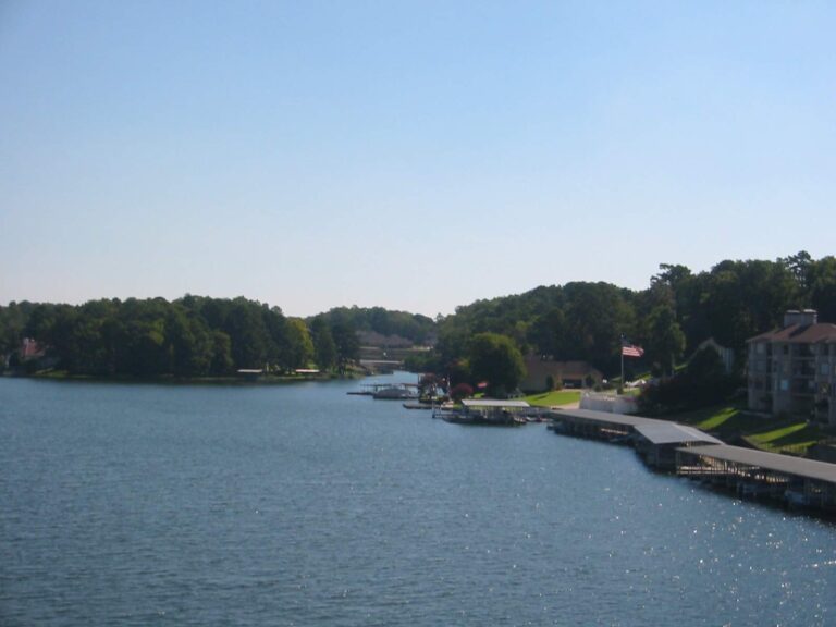
Photo: WorldIslandInfo.com, CC BY 2.0

Photo: Nicolas Henderson, CC BY 2.0
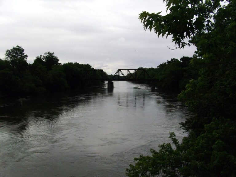
Photo: Brandonrush, CC BY-SA 3.0

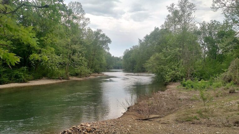
Photo: Brandonrush, CC0 1.0

Questions that crop up about Montgomery County
Are there public ramps in Montgomery County?
Count 10 launches on AGFC maps.
What is the biggest body of still water in Montgomery County?
Lake Ouachita, at 40,000 acres.
Which fish does AGFC list on lakes near Montgomery County?
AGFC lists catfish on the most lake pages within 50 miles, then bream, black bass and crappie.
Which Montgomery County stores keep crappie jigs and line on the shelf?
Crazyhorsetradingpost is one of 4 listings here.
What Arkansas town serves as seat for Montgomery County?
It is Mount Ida.
How much is a fishing license for a Montgomery County trip?
A resident angler spends $10.50 and a nonresident $60 on the yearly AGFC license.
Which county pages are near Montgomery County?
Try Pike County, Garland County and Scott County.
How many crappie can go in the AGFC creel in Montgomery County?
Statewide: daily limit of 30 crappie (all species combined) with no length restrictions. Waters with their own Code line differ.
Do any Montgomery County waters carry AGFC Code exceptions?
3 waters with a page here carry their own Code line, starting with Caddo River.
Do bass clubs hold weigh-ins in Montgomery County?
5 organizer entries on file, none with a date still ahead.
Is Montgomery County water on the record list?
Yellow Bass, 2 lbs., 4 oz. (rod and reel), from Lake Ouachita.
Fish the ponds and creeks of Montgomery County
Check a water's Code line before you keep fish.