Parr Shoals Reservoir Fishing
A South Carolina reservoir in Newberry County.
 Pick for largemouth bassPiscifun Chaos Pro CNC baitcasting reel25% OFFSale $97.99
Photo of Lake Murray: Scott Oves, CC BY 2.0
Lake level today
Reading at 9:45 pm EST, Nov 12US Geological Survey gauge 02160990, Parr Shoals Reservoir at Parr, SC. Provisional data, refreshed hourly.
Ahead of your first outing on Parr Shoals Reservoir
For Parr Shoals Reservoir, a reservoir of Newberry County, the only size on hand is about 3,116 acres of mapped outline. Count on about 11 miles of road to reach Chapin.
Boaters can pick from 2 landings and paddle launches on the SCDNR map. The county falls in SCDNR Region 3 on the SCDNR access records.
Outline area from the SCDNR Lakes and Reservoirs map layer (a GIS polygon area, not an SCDNR surface-acre figure), read November 9, 2026.
SCDNR South Carolina Public Water Access layer (ArcGIS service, the data behind the SCDNR fishing access map), read November 9, 2026.
U.S. Census Bureau, 2020 Census counts (TIGERweb) and the 2023 Gazetteer, read November 9, 2026.
Species recorded at Parr Shoals Reservoir landings
These are the species SCDNR writes against the Parr Shoals Reservoir access points.
SCDNR South Carolina Public Water Access layer (ArcGIS service, the data behind the SCDNR fishing access map), read November 9, 2026.
 For the largemouth bass herePiscifun AlinoX 300 low profile baitcaster34% OFFSale $104.99
Landings serving Parr Shoals Reservoir
- Cannons Creek Boat Ramp on Parr Shoals Reservoirboat ramp, 1 lane, gravel; 30 Parking Spaces for Vehicles/Trailers (gravel)
- Hellers Creek Boat Ramp on Parr Shoals Reservoirboat ramp, 1 lane, gravel; Limited Parking (gravel)
Spare ramps for Parr Shoals Reservoir
- Lake Monticello East Boat Rampboat ramp, 2 lanes, concrete or paved, courtesy dock, 5 miles
- Lake Monticello West Boat Rampboat ramp, 2 lanes, concrete or paved, courtesy dock, 5 miles
- Subimpoundment Boat Ramp on Monticello Recreation Lakeboat ramp, 1 lane, concrete or paved, 5 miles
- Broad River Canoe Accesspaddle launch, dirt, 5 miles
- Shelton Ferry Boat Ramp on Broad Riverboat ramp, 1 lane, dirt, 12 miles
SCDNR South Carolina Public Water Access layer (ArcGIS service, the data behind the SCDNR fishing access map), read November 9, 2026.
How many fish you may keep from Parr Shoals Reservoir
Anglers on Parr Shoals Reservoir follow the statewide table, since no row names it.
The statewide creel table as it applies at Parr Shoals Reservoir
| Species | Size | Daily |
|---|---|---|
| Blue Catfish | See limits in Freshwater Nongame Fishing Regulations section. | See limits in Freshwater Nongame Fishing Regulations section. |
| Bream | Any length | 30 |
| Redbreast Sunfish | Any length | 15 |
| Crappie | 8 inches min | 20 |
| Yellow Perch | Any length | 30 |
| Smallmouth Bass | 12 inches min | No more than 5 combined total of smallmouth, largemouth, redeye bass or their hybrids |
| Redeye (Bartrams) Bass | Any length | No more than 5 combined total of smallmouth, largemouth, redeye bass or their hybrids |
| Largemouth Bass | Any length | No more than 5 combined total of smallmouth, largemouth, redeye bass or their hybrids |
A total of 40 game fish may be kept in any one day (freshwater), not exceeding the species limits (guide p. 28).
2026-2027 South Carolina Hunting & Fishing Guide, valid August 14, 2026 to August 14, 2027 (online guide), read November 9, 2026.
Gauge numbers at Parr Shoals Reservoir
USGS lake gauges print live here; Corps readings carry the time they were read.
| USGS gauge | Latest reading | Time (ET) |
|---|---|---|
| Parr Shoals Reservoir At Parr, Sc | 262.03 ft lake elevation | Nov 12 8:45 pm |
US Geological Survey provisional data, retrieved Nov 12, 2026 10:32 pm ET. Provisional readings can be revised.
USGS Water Data for the Nation, live through the site, retrieved on page view.
Neighbouring lakes and Parr Shoals Reservoir
The biggest neighbour here is Lake Murray, 48,579 acres on the SCDNR page.
| Lake | Distance | Size | County | Landings | Species listed |
|---|---|---|---|---|---|
| Lake Monticello | 4 miles | 6,700 acres | Fairfield County | 2 | 12 |
| Lake Murray | 17 miles | 48,579 acres | Lexington County | 12 | 11 |
| Mountain Lakes | 24 miles | 42 acres | Chester County | 1 | 5 |
| Lake Wateree | 32 miles | 13,025 acres | Fairfield County | 9 | 11 |
| Cedar Creek Reservoir | 32 miles | about 1,645 acres of mapped outline | Chester County | 2 | 10 |
SCDNR lake pages, the outline layer and the Public Water Access layer; outline areas are GIS figures. Read November 9, 2026.
Near Parr Shoals Reservoir
Reservoirs and ponds near Parr Shoals Reservoir
- Lake Monticello4 miles northeast
- Lake Murray17 miles south
- Mountain Lakes24 miles north
- Lake Wateree32 miles east
- Cedar Creek Reservoir32 miles northeast
Tackle counters Parr Shoals Reservoir regulars use
- Thirtyfour Bait and Tacklebait and tackle shop, Newberry, 8 miles
- Buffalo Creek Marina, 1342 Old Lexington Hwymarina, Chapin, 13 miles
- Shealy's Landingmarina, Irmo, 15 miles
- Lighthouse Marinamarina, Chapin, 15 miles
- The Residence at Marina Baymarina, Irmo, 16 miles
- Nautical Boat Club – Irmomarina, Irmo, 16 miles
Captains and guides advertising near Parr Shoals Reservoir
- Capt. Mike's Lake Murray Guide Servicefishing guide, Prosperity, (803) 609-0066
Overnight stops for anglers bound for Parr Shoals Reservoir
- Chapin11 miles
- Prosperity12 miles
- Newberry14 miles
County-by-county help around Parr Shoals Reservoir
- Newberry Countyseat: Newberry
Piscifun reels and leaders boxed up for Parr Shoals Reservoir


Piscifun and Amazon links are affiliate links; the site earns a commission on qualifying purchases.
Tidal flats and reservoir coves by Parr Shoals Reservoir, through the lens
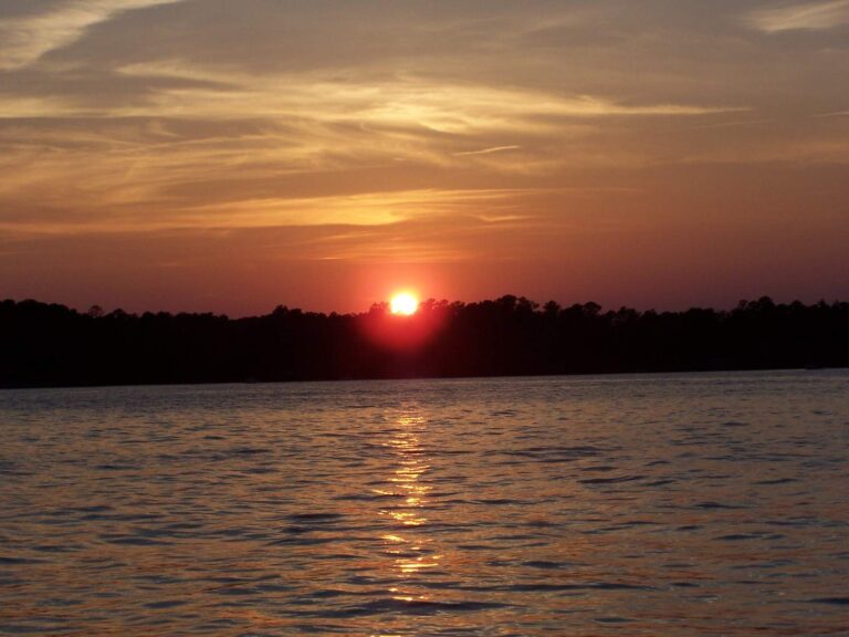
Photo: Jelene Morris, CC BY 2.0
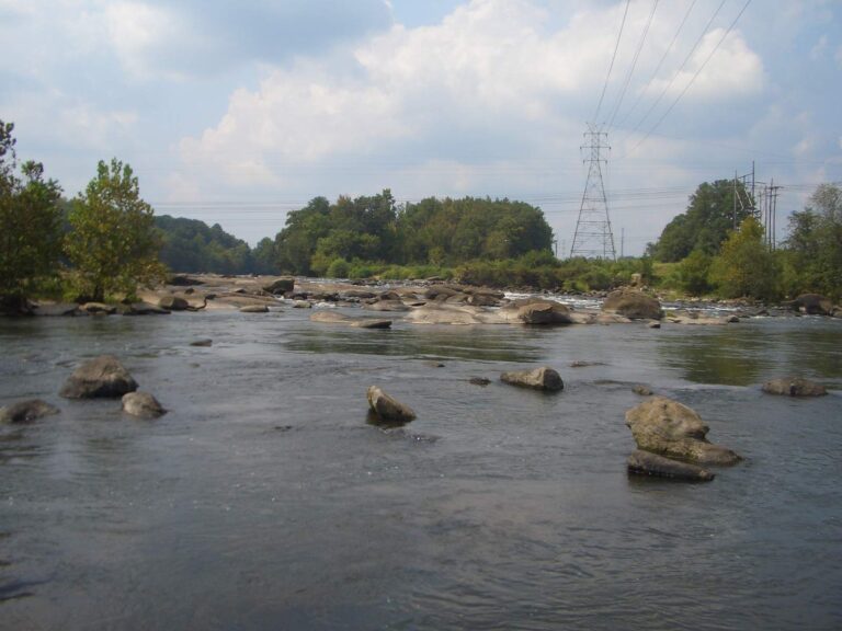
Photo: Laurel LaFlamme, CC BY 2.0
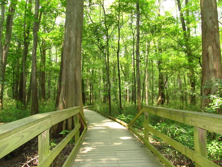
Photo: Ken Lund, CC BY-SA 2.0
Photo: Chris Yunker, CC BY 2.0
Things worth settling about Parr Shoals Reservoir ahead of time
Where in the Palmetto State is Parr Shoals Reservoir?
Look in Newberry County on the map; the nearest Census town, Chapin, is about 11 miles away.
What size is Parr Shoals Reservoir by SCDNR?
There is no SCDNR figure, but the outline reads about 3,116 acres of mapped outline.
Does SCDNR show a public landing anywhere on Parr Shoals Reservoir?
Use Cannons Creek Boat Ramp on Parr Shoals Reservoir or any of the 2 landings and paddle launches SCDNR maps.
Which fish does SCDNR name for Parr Shoals Reservoir?
SCDNR lists Largemouth Bass, Redear Sunfish, Bluegill, Redbreast Sunfish, Black Crappie, White Crappie and White Perch at its access points.
Does Parr Shoals Reservoir follow the statewide creel table?
Statewide limits hold; the bass row says: Largemouth Bass: No more than 5 combined total of smallmouth, largemouth, redeye bass or their hybrids daily, size any length.
Does SCDNR want a paid license from anglers at Parr Shoals Reservoir?
Anglers 16 and older need a South Carolina freshwater fishing license; SCDNR prints $10 for a resident annual license and $35 for a nonresident annual license.
Does SCDNR map a fishing pier or bank site on Parr Shoals Reservoir?
Bank access is not mapped by SCDNR for it.
Which South Carolina counter sells shrimp or shiners near Parr Shoals Reservoir?
Stop at Thirtyfour Bait and Tackle, about 8 miles away.
Where is the level reading for Parr Shoals Reservoir?
The reading from USGS appears above with its time.
Ice down the cooler and drive to Parr Shoals Reservoir
Read the creel rows before a fish goes in the cooler.