Fishing in Greenville County, South Carolina
County seat: Greenville. Population 525,534 (2020). SCDNR Region 1.
- 2lake pages
- 13landings
- 9river pages
 Pick for troutPiscifun Carbon X ultralight spinning reel28% OFFSale $57.99
Photo of Lake Keowee: Anon Anon, CC0 1.0
Sizing up the fishing in Greenville County
Greenville County conducts county business from Greenville, and the 2020 Census counted 525,534 people living in the county. Most SCDNR access records in the county carry SCDNR Region 1. Of the 2 lakes with pages here, Lake Robinson (Greenville County) covers the most water.
The SCDNR access layer shows 13 landings and paddle launches plus 21 piers and bank sites here. Paged streams in the county include Saluda River, Middle Saluda River and North Saluda River. Head Foremost Creek, Matthews Creek and Middle Saluda River carry trout rows in the state guide.
U.S. Census Bureau, 2020 Census counts (TIGERweb) and the 2023 Gazetteer, read November 9, 2026. SCDNR South Carolina Public Water Access layer (ArcGIS service, the data behind the SCDNR fishing access map), read November 9, 2026.
 For the trout herePiscifun Carbon XT ultralight spinning reel25% OFFSale $59.99
A map of Greenville County landings and fishing spots
SCDNR Public Water Access layer and lake points, checked November 9, 2026.
Reservoirs and state lakes of Greenville County
| Lake | Size | Landings | Kind | SCDNR species list |
|---|---|---|---|---|
| Lake Robinson (Greenville County) | about 822 acres of mapped outline | 1 | mapped lake | none on SCDNR lists |
| Lake Placid | not printed | 1 | named at an SCDNR access | Largemouth Bass, Bluegill, Redear Sunfish |
These lakes past the Greenville County line lie closest to Greenville.
| Lake | From Greenville | Size | Landings | Kind | SCDNR species list |
|---|---|---|---|---|---|
| Lake Oolenoy | 23 miles northwest | not printed | 2 | named at an SCDNR access | Largemouth Bass, Bluegill, Redear Sunfish |
| Lake William C Bowen | 25 miles northeast | about 1,462 acres of mapped outline | 1 | mapped lake | none on SCDNR lists |
| Lake Edwin Johnson | 30 miles east | 40 acres | 0 | mapped lake | Largemouth Bass, Bluegill, Redear Sunfish |
| Lake Keowee | 32 miles west | 18,500 acres | 9 | major reservoir | Largemouth Bass, Alabama Bass, Black Crappie |
| Lake Blalock | 32 miles northeast | not printed | 1 | named at an SCDNR access | Largemouth Bass |
| Lake Jocassee | 35 miles west | 7,500 acres | 5 | major reservoir | Largemouth Bass, Alabama Bass, Smallmouth Bass |
Surface acres and depth as SCDNR prints them on its page for this lake, read November 9, 2026. Sizes SCDNR does not print show as mapped outline area. Species as SCDNR lists them at its access points.
What the SCDNR lists add up to near Greenville County
Largemouth Bass leads the SCDNR species lists on lakes within 50 miles of Greenville.
SCDNR Public Water Access species lists, counted per lake page within 50 miles; an occurrence list, not a catch survey.
Named ponds and impoundments of Greenville County kept to a list
SCDNR records name 3 more waters in Greenville County that have too few published facts for a page.
| Water | Size | Kind |
|---|---|---|
| J. Robinson Lake | about 822 acres of mapped outline | mapped lake |
| Lake Cunningham | not printed | named at an SCDNR access |
| Tall Pines Lake | not printed | named at an SCDNR access |
Outline area from the SCDNR Lakes and Reservoirs map layer (a GIS polygon area, not an SCDNR surface-acre figure), read November 9, 2026. SCDNR South Carolina Public Water Access layer (ArcGIS service, the data behind the SCDNR fishing access map), read November 9, 2026.
Where current runs through Greenville County
- Saluda RiverSCDNR trout water, 15 SCDNR accesses, 11 USGS gauges
- Middle Saluda RiverSCDNR trout water, 5 SCDNR accesses, 1 USGS gauge
- North Saluda RiverSCDNR trout water, 4 SCDNR accesses, 2 USGS gauges
- South Saluda RiverSCDNR trout water, 4 SCDNR accesses, 2 USGS gauges
- Head Foremost CreekSCDNR trout water, 1 SCDNR access
- Matthews CreekSCDNR trout water, 1 SCDNR access
- South Pacolet RiverSCDNR trout water, 1 SCDNR access, 1 USGS gauge
- Enoree River5 SCDNR accesses, 4 USGS gauges
- Reedy River4 SCDNR accesses, 3 USGS gauges
Current flow on Greenville County streams
| USGS gauge | Latest reading | Time (ET) |
|---|---|---|
| Saluda River Near Williamston, Sc | 175 cfs, 3.37 ft gage height | Nov 12 7:45 pm |
| Saluda River Above I-85 Nr Golden Grove, Sc | 146 cfs, 8.30 ft gage height | Nov 12 7:15 pm |
| Reedy River Above Fork Shoals, Sc | 70 cfs, 4.16 ft gage height | Nov 12 8:00 pm |
| Middle Saluda River Near Cleveland, Sc | 31 cfs, 1.57 ft gage height | Nov 12 7:45 pm |
| Enoree River At Batesville, Sc | 27 cfs, 9.53 ft gage height | Nov 12 8:15 pm |
| South Saluda River Near Rocky Bottom, Sc | 16 cfs, 0.89 ft gage height | Nov 12 7:45 pm |
US Geological Survey provisional data, retrieved Nov 12, 2026 8:32 pm ET. Provisional readings can be revised.
SCDNR South Carolina Public Water Access layer (ArcGIS service, the data behind the SCDNR fishing access map), read November 9, 2026. USGS Water Data for the Nation, live through the site, retrieved on page view.
Cold-water trout water in Greenville County
- Head Foremost CreekSCDNR trout water
- Matthews CreekSCDNR trout water
- Middle Saluda Rivertrout stream
- North Saluda RiverSCDNR trout water
- Saluda Rivertrout stream
- South Pacolet RiverSCDNR trout water
- South Saluda Rivertrout rules printed
South Carolina trout water rules
2026-2027 South Carolina Hunting & Fishing Guide, valid August 14, 2026 to August 14, 2027 (online guide), read November 9, 2026. SCDNR South Carolina Public Water Access layer (ArcGIS service, the data behind the SCDNR fishing access map), read November 9, 2026.
Public put-ins across Greenville County
- Cedar Falls Paddle Launch on Reedy RiverReedy River, paddle launch
- Cleveland Park River Access and Parking Area on Reedy RiverReedy River, paddle launch
- Dolly Cooper Park Access on Saluda RiverSaluda River, paddle launch
- J. Verne Smith Park on Lake RobinsonLake Robinson, boat ramp, 2 lanes, concrete or paved, courtesy dock, fishing pier
- Jones Gap Trail Bridge Paddle Launch on Middle Saluda RiverMiddle Saluda River, paddle launch
- Lake Cunningham Recreation Facility Boat RampLake Cunningham, boat ramp, 2 lanes, concrete or paved, courtesy dock, fishing pier
- Naturaland Trust River Access and Parking Area on South Saluda RiverSouth Saluda River, paddle launch
- Paris Mountain State Park on Lake PlacidLake Placid, paddle launch
- Park at Taylors Mill on Enoree RiverEnoree River, paddle launch
- Les Mullinax Park on North Saluda RiverNorth Saluda River, paddle launch
- Pelham Mill Park on Enoree RiverEnoree River, paddle launch
- River Road River Access and Parking Area on North Saluda RiverNorth Saluda River, paddle launch
- SCDNR River Access on South Saluda RiverSouth Saluda River, paddle launch
SCDNR bank and pier points in Greenville County
- J. Verne Smith Recreation Area Bank on Lake RobinsonLake Robinson, bank
- J. Verne Smith Recreation Area Pier on Lake RobinsonLake Robinson, pier, wood
- Lake Robinson – Pier 2Lake Robinson, pier, wood
- Lake Cunningham Recreation Facility BankLake Cunningham, bank
- Lake Cunningham Recreation Facility PierLake Cunningham, pier, wood
- Matthews Creek (Caesar's Head) BankMatthews Creek, bank
- Middle Saluda River (Cleveland) BankMiddle Saluda River, bank
- Middle Saluda River (Echo Valley) BankMiddle Saluda River, bank
- Middle Saluda River (Lower) BankMiddle Saluda River, bank
- Middle Saluda River (Upper) BankMiddle Saluda River, bank
- North Saluda River (Fire Department) BankNorth Saluda River, bank
- North Saluda River (Goodwin Branch Rd) BankNorth Saluda River, bank
- Oak Grove Lake (Pond) BankPond, bank
- Paris Mountain State Park Bank on Lake PlacidLake Placid, bank
- Pleasant Ridge County Park (Pond) BankPond, bank
- Pleasant Ridge County Park (Pond) PierPond, pier, concrete or paved
- Rainbow Falls, Headforemost BankHead Foremost Creek, bank
- South Pacolet River BankSouth Pacolet River, bank
- South Saluda Angler Access BankSouth Saluda River, bank
- South Saluda River BankSouth Saluda River, bank
- Tall Pines WMA Bank FishingTall Pines Lake, bank
SCDNR South Carolina Public Water Access layer (ArcGIS service, the data behind the SCDNR fishing access map), read November 9, 2026. The SCDNR layer carries no fee or hours field.
Size and creel rules on Greenville County water
Statewide rows from the state fishing guide apply to Greenville County lakes and streams that have no row of their own. A total of 40 game fish may be kept in any one day (freshwater), not exceeding the species limits (guide p. 28). The SCDNR price list shows $10 for a resident freshwater year and $35 for the nonresident version.
| Species | Size limit | Daily limit |
|---|---|---|
| American Eel | 9 inches min | 25 |
| Blue Catfish | See limits in Freshwater Nongame Fishing Regulations section. | See limits in Freshwater Nongame Fishing Regulations section. |
| Bream | Any length | 30 |
| Redbreast Sunfish | Any length | 15 |
| Crappie | 8 inches min | 20 |
| Walleye & Sauger | Any length | No more than 8 combined total of walleye or sauger |
| Chain Pickerel | Any length | 30 |
| Redfin Pickerel | Any length | 30 |
| Yellow Perch | Any length | 30 |
| Smallmouth Bass | 12 inches min | No more than 5 combined total of smallmouth, largemouth, redeye bass or their hybrids |
| Redeye (Bartrams) Bass | Any length | No more than 5 combined total of smallmouth, largemouth, redeye bass or their hybrids |
| Largemouth Bass | Any length | No more than 5 combined total of smallmouth, largemouth, redeye bass or their hybrids |
| Spotted Bass | Any length | 15 |
| White Bass | Any length | 10 |
| Striped or Hybrid Bass or a combination | Any length | 10 |
Special-limit water in Greenville County
- Lake Robinson (Greenville County)Largemouth Bass: 12 inches min, No more than 5 combined total of smallmouth, largemouth, redeye bass or their hybrids
- Saluda RiverStriped or Hybrid Bass or a combination: Oct. 1 – June 15 striped bass between 23 and 25 inches may be harvested except that one fish may be greater than 26 inches, 3
2026-2027 South Carolina Hunting & Fishing Guide, valid August 14, 2026 to August 14, 2027 (online guide), read November 9, 2026. License prices as printed on the SCDNR license pricing pages (dnr.sc.gov), read November 9, 2026.
Record-list fish from Greenville County water
| Species | Weight as listed | List | Water | Year |
|---|---|---|---|---|
| Pumpkinseed | 2-4 | freshwater | North Saluda River | 1997 |
South Carolina state record fish as listed by SCDNR (record list), read November 9, 2026.
Greenville County tackle counters and hired guides
Bait and tackle in Greenville County
- Academy Sports + Outdoors, 59 Woodruff Industrial Ln Ste Cbait and tackle shop, Greenville
- Bass Pro Shops, 1025 Woodruff Rd Ste H101bait and tackle shop, Greenville
- Cabela'sbait and tackle shop, Greenville
- Dick's Sporting Goods, 1125 Woodruff Rdbait and tackle shop, Greenville
- Hares Ear Fly Fishingfly shop, Greenville
- Luthi's Outfittersbait and tackle shop, Greenville
- Mauldin Open Air Marketbait and tackle shop, Mauldin
- Port Tronicsbait and tackle shop, Greenville
- Sierra, 1117 Woodruff Rd Ste Ibait and tackle shop, Greenville
- Island Global Yachtingmarina, Greenville
- Seven Seas Corpmarina, Greenville
- Sinclair Marina Classic City Marinasmarina, Greenville
Yellow Pages listings (city of business), read November 9, 2026.
Keep exploring from Greenville County
Greenville County towns with their own fishing page
- Greenvillepop. 70,720
- Greerpop. 35,308
- Mauldinpop. 24,724
- Simpsonvillepop. 23,354
- Taylorspop. 23,222
- Wade Hamptonpop. 21,482
- Five Forkspop. 17,737
- Bereapop. 15,578
- Ganttpop. 15,006
- Parkerpop. 13,407
- Fountain Innpop. 10,416
- Sans Soucipop. 8,581
- Travelers Restpop. 7,788
- Welcomepop. 7,298
- Duneanpop. 3,740
- Golden Grovepop. 3,002
SC counties that touch Greenville County
- Pickens County20 miles west
- Spartanburg County22 miles east
- Anderson County30 miles southwest
- Laurens County35 miles southeast
Piscifun rods, reels and line to sort out ahead of Greenville County


Piscifun and Amazon links are affiliate links; the site earns a commission on qualifying purchases.
Lakes, blackwater creeks and inlets close to Greenville County, in pictures
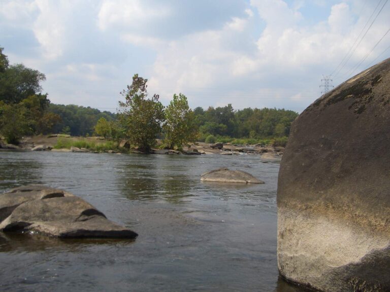
Photo: Laurel LaFlamme, CC BY 2.0
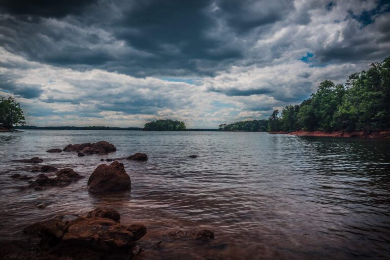
Photo: Scott Ritchie, CC BY 2.0
Photo: ted, CC BY 2.0
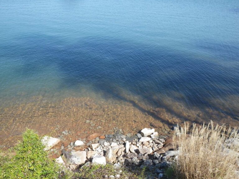
Photo: Warren LeMay, CC0 1.0
Quick replies on fishing in Greenville County
Which landings does SCDNR list in Greenville County?
SCDNR maps 13 landings and launches here, listed above with directions.
Where is the most lake water in Greenville County?
Lake Robinson (Greenville County), at about 822 acres of mapped outline.
Which fish appear on SCDNR lists near Greenville County?
SCDNR access lists name Largemouth Bass on the most lake pages within 50 miles, then Bluegill, Redear Sunfish and Channel Catfish.
Is there a tackle shop listed in Greenville County?
12 in all, Academy Sports + Outdoors, 59 Woodruff Industrial Ln Ste C first.
Which South Carolina town runs Greenville County government?
County offices are in Greenville.
How much is a South Carolina fishing license for a Greenville County trip?
The SCDNR price list shows $10 for a resident freshwater year and $35 for the nonresident version.
What other South Carolina counties are close to Greenville County?
Nearest by centre point: Pickens County, Spartanburg County and Anderson County.
What daily crappie limit applies in Greenville County?
Statewide: Crappie: 20 daily, size 8 inches min. A guide row naming a lake can change it.
Which SCDNR region do Greenville County access points fall under?
SCDNR Region 1, going by the majority of its SCDNR access records.
Do any Greenville County waters have their own limits?
2 waters with a page here have a guide row of their own, beginning with Lake Robinson (Greenville County).
Does any Greenville County lake appear on the SCDNR record list?
Pumpkinseed, 2-4 as listed, from North Saluda River (1997).
Choose a landing in Greenville County
Open a lake for its landings, limits and gauge readings.