Fishing in Rogers County, Oklahoma
County seat: Claremore. Population 95,240.
- 3lake pages
- 13Corps ramps
- 2river pages
 Pick for white crappiePiscifun Carbon X ultralight spinning reel28% OFFSale $57.99
Photo of Oologah Lake: Deborah Lee Soltesz, CC0 1.0
Sizing up the creeks and lakes of Rogers County
With Claremore as its seat, Rogers County reported 95,240 residents to the 2020 Census. For ODWC purposes, the county's listed lakes sit in the ODWC Northeast Region.
The county counts 3 lake guides; Oologah Lake spreads widest. Trailers can splash at 13 Corps-listed ramps from the USACE inventory. Without a boat there are 3 fishing piers and areas, including 3 fishing piers. The county appears in 4 stocking rows across the 2024 and 2025 reports.
Census 2020 population; ODWC Where To Fish pages and NHD lake outlines; USACE Tulsa District recreation features; ODWC stocking reports 2024 and 2025; read November 3, 2026.
Pins for each Rogers County ramp, pier and lake
USACE Tulsa District ramp and fishing feature points; GNIS and NHD lake points; river points as noted on each river page; read November 3, 2026.
City lakes and reservoirs of Rogers County
| Lake | Acres (source) | Max depth (ODWC) | Kind | Corps ramps | Fish named |
|---|---|---|---|---|---|
| Oologah Lake | 29,460 (ODWC) | 72.2 ft | reservoir (U.S. Corps of Engineers) | 13 | largemouth bass, white crappie, paddlefish |
| Claremore Lake | 622 (NHD outline) | reservoir | 0 | ||
| Lock and Dam 18 | 274 (NHD outline) | lake | 1 |
Shortest drives from Claremore to lake pages outside Rogers County.
| Lake | From Claremore | Acres (source) | Max depth (ODWC) | Kind | Corps ramps | Fish named |
|---|---|---|---|---|---|---|
| W.R. Holway Reservoir (Chimney Rock Lake) | 29 miles east | 750 (NHD outline) | reservoir | 0 | largemouth bass, smallmouth bass, black crappie | |
| Veterans Park Pond (Jenks) | 29 miles southwest | Close to Home water | 0 | channel catfish, rainbow trout | ||
| Fort Gibson Lake | 30 miles southeast | 19,896 (ODWC) | 60.2 ft | reservoir (U.S. Corps of Engineers) | 34 | largemouth bass, black crappie, white crappie |
| Bixhoma Lake | 31 miles south | 97 (NHD outline) | reservoir | 0 | ||
| Skiatook Lake | 32 miles west | 10,190 (ODWC) | reservoir (U.S. Corps of Engineers) | 10 | largemouth bass, smallmouth bass, striped hybrid bass | |
| Lake Waxhoma | 33 miles northwest | 128 (ODWC) | 39.9 ft | reservoir | 0 |
Acres, depth, shoreline and volume as printed on the ODWC Where To Fish page. NHD outline acreage where ODWC prints none; ramps from the USACE Tulsa District layer; read November 3, 2026.
 For the white crappie herePiscifun Carbon XT ultralight spinning reel25% OFFSale $59.99
Species tallied on water near Rogers County
Out to 50 miles from Claremore, channel catfish shows up on more lake pages than anything else.
ODWC Fish Species of Interest, stocking reports and state records, counted per lake page within 50 miles; not a survey of fish numbers.
Other named impoundments across Rogers County
1 smaller named lakes sit in Rogers County, shown by size where known.
| Water | Acres (source) | Nearest place |
|---|---|---|
| Big Lake | 174 (NHD outline) | Verdigris |
ODWC Where To Fish pages and USGS NHD outlines, read November 3, 2026.
Rivers crossing Rogers County
- Verdigris River4 USGS gauges
- Caney River3 USGS gauges
USGS stream stations planted in Rogers County
| USGS gauge | Latest reading | Time (ET) |
|---|---|---|
| Verdigris River Near Claremore, Ok | 19 cfs, 2.86 ft gage height | Nov 11 10:30 pm |
| Verdigris River Near Catoosa, Ok | 32.93 ft gage height | Nov 11 10:45 pm |
US Geological Survey provisional data, retrieved Nov 11, 2026 11:33 pm ET. Provisional readings can be revised.
ODWC Where To Fish river pages, USGS GNIS names, USACE ramps and USGS gauges (live readings); read November 3, 2026.
Putting a boat in around Rogers County
- Blue Creek Boat Ramp on Oologah LakeOologah Lake, 1 lane, concrete, courtesy dock, USACE use fee
- Clermont Boat Ramp on Oologah LakeOologah Lake, 1 lane, concrete
- Eastside Ramp on Oologah LakeOologah Lake, 1 lane, concrete
- Hawthorn Bluff Boat Ramp on Oologah LakeOologah Lake, 2 lanes, concrete, courtesy dock, USACE use fee
- Redbud Bay Boat Ramp on Oologah LakeOologah Lake, 1 lane, concrete, courtesy dock, USACE use fee
- Spencer Creek Boat Ramp on Oologah LakeOologah Lake, 1 lane, concrete, USACE use fee
- Spencer Creek East Boat Ramp on Oologah LakeOologah Lake, 2 lanes, concrete, courtesy dock, USACE use fee
- Sunnyside Boat Ramp on Oologah LakeOologah Lake, 1 lane, concrete
- Vada Point Boat Ramp on Oologah LakeOologah Lake, 1 lane, concrete
- Verdigris River Park Boat Ramp on Oologah LakeOologah Lake, 1 lane, concrete, USACE use fee
- Winganon Ramp on Oologah LakeOologah Lake, 1 lane, concrete
- Highway 33 Landing Boat RampCorps site, 1 lane, concrete
- Rogers Point boat rampCorps site, 2 lanes, concrete
This list is the Corps inventory; launches run by cities or the GRDA come on top.
Walk-up fishing in Rogers County
- Hawthorn Bluff Fishing Pier on Oologah Lakefishing pier
- Oologah Lake Office Fishing Pierfishing pier
- Hawthorn Bluff Fishing Pier on Oologah Lakefishing pier
Cleaning fish is easier at 1 fish cleaning station the Corps lists.
USACE Tulsa District recreation features (boat ramp layer, inventory year 2021), read November 3, 2026. USACE Tulsa District recreation features (fishing feature layer), read November 3, 2026.
Lake elevations reported for Rogers County
| Lake | Pool elevation | Previous reading | Top of conservation pool | Reading time |
|---|---|---|---|---|
| Oologah Lake | 640.38 ft | 640.44 ft | 638.0 ft | 03 NOV 2026 @ 08:00 CDT |
One reading per lake, as printed in the dated Corps morning report (datum not given).
USACE Tulsa District Daily Morning Reservoir Report, reading of 03 NOV 2026 @ 08:00 CDT (one dated reading, not live; feet as printed, datum not printed).
Stocking report lines for Rogers County waters
| Year | Water | Species (as printed) | Number | Size (in) |
|---|---|---|---|---|
| 2025 | Oologah Lake | Hybrid Striped Bass | 200,329 | 2 |
| 2025 | Oologah Lake | Walleye | 174,650 | 1.5 |
| 2024 | Lee Lake, Bartlesville | Channel Catfish | 800 | Fry |
| 2024 | Minshall Park Pond | Channel Catfish | 25 | 1.75 |
ODWC Fisheries Division Public Stocking Reports 2024 and 2025 (2025 report, 2024 report), species abbreviations as printed (LMB = largemouth bass), read November 3, 2026.
The 2026-27 statewide rows for Rogers County anglers
Waters of Rogers County without their own ODWC rule use these statewide limits. ODWC prices the annual Oklahoma fishing license at $31 for residents and $81 for nonresidents.
| Species | Daily limit | Size limit |
|---|---|---|
| Largemouth and/or Smallmouth Bass | 6 (combined) | 1 (one) over 16 inches |
| Spotted Bass | no daily limit | no size limit |
| Channel and/or Blue Catfish | 15 (combined) | Only 1 Blue Catfish over 30 inches |
| Flathead Catfish | 5 | no size limit |
| White and/or Black Crappie | 37 (combined) | no size limit |
| Striped Bass | 5 (except Lake Texoma) | no size limit |
| Striped Bass Hybrids | 20 | Only 5 fish over 20 inches |
| White Bass | no daily limit | no size limit |
| Trout | See trout regulations | no size limit |
| Walleye, Sauger and/or Saugeye | 6 (combined) | 14 inch minimum |
| Paddlefish | See paddlefish regulation | no size limit |
| Alligator Gar | 1 | no size limit |
In rivers and streams: black bass (largemouth, smallmouth, and spotted): six combined per day, only one of which may be a smallmouth bass. Largemouth and smallmouth bass must be 14 inches or longer. No size limit on spotted bass.
ODWC special regulations inside Rogers County (1)
| Area | Limits | Methods and restrictions |
|---|---|---|
| Caney River | statewide limits | Prohibited methods: Bowfishing prohibited from Hulah dam downstream 1,200 feet to the reregulation dam, gigs, spears, spearguns, and snagging prohibited from Hulah dam downstream to the confluence of old and new river channels. (Also see “Tailwaters” regulations.) |
Limits as printed on the ODWC statewide daily and size limits page (2026-2027 Oklahoma Fishing and Hunting Regulations (ODWC); PDF), read November 3, 2026. Special regulations as printed on the ODWC Public Fishing Areas Special Regulations pages, read November 3, 2026.
Heavy fish on the ODWC list from around Rogers County
| Species | Division | Weight | Water | Date |
|---|---|---|---|---|
| White Bass | rod and reel | 5 lbs 1.00 ozs | Verdigris River | 04/01/1976 |
ODWC state record fish list (keeper: Oklahoma Department of Wildlife Conservation), read November 3, 2026.
Spending tackle money inside Rogers County
Shops listed in Rogers County
- JD Tackel Boxbait and tackle shop, Claremore
- Lazy J's Tacklebait and tackle shop, Claremore
- Nabatak Outdoorsbait and tackle shop, Claremore
- The Tackle Boxbait and tackle shop, Oologah
- Wohali Outdoorsbait and tackle shop, Claremore
- Redbud Marinamarina, Claremore
Licensed guides near Rogers County
- Advanced Angling Guide Servicefishing guide, (918)973-3633
- B's Above The Bar Guide Servicefishing guide, (918)230-0099
- Billy’s Guide Service Llcfishing guide, (918)231-7600
- Bz Guide Servicefishing guide, (918)998-3474
- Called To Fish Guide Servicesfishing guide, (918)637-7481
- Cpt Kirks Guide Servicefishing guide, (912)492-8393
- Crappie Addict Guide Servicefishing guide, (918)697-5224
- Dom’s Guide Servicefishing guide, (918)914-2633
- Dtf Guide Service Llcfishing guide, (918)500-3456
- Fish On Guide Servicefishing guide, (918)724-6786
- Fishen For Men Crappie Guide Servicefishing guide, (918)497-8575
- Grand River Monster Bowfishing Chartersfishing guide, (918)864-1605
Yellow Pages listings, ODWC Bait & Tackle Nearby lists and the ODWC licensed fishing guide list (guides matched by the waters they list), read November 3, 2026.
Near Rogers County
Main streets of Rogers County with water nearby
- Claremorepop. 19,580
- Catoosapop. 7,440
- Verdigrispop. 5,256
- Chelseapop. 1,991
- Inolapop. 1,890
- Oologahpop. 1,305
Just over the county road from Rogers County
- Mayes County21 miles east
- Tulsa County26 miles southwest
- Washington County28 miles northwest
- Nowata County28 miles north
Piscifun reels and a lip grip packed for Rogers County


Piscifun and Amazon links are affiliate links; the site earns a commission on qualifying purchases.
Prairie, timber and water around Rogers County through a camera

Photo: JustTulsa, CC BY 2.0
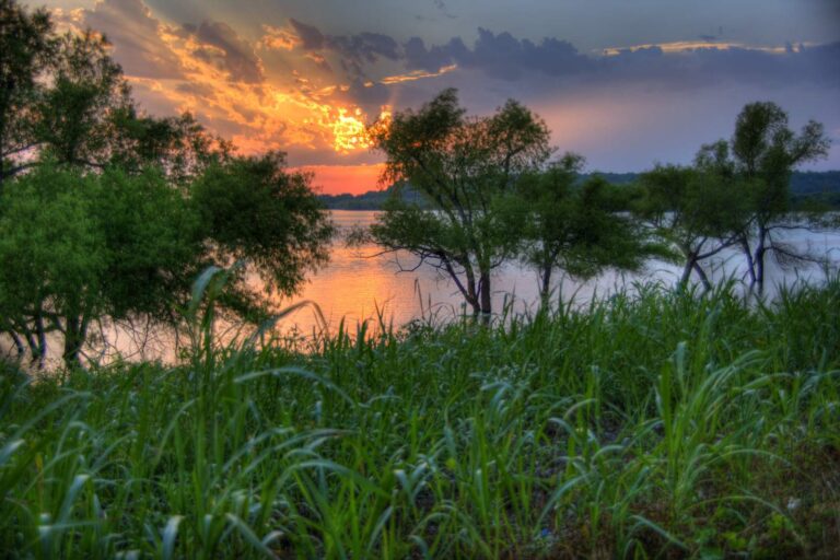
Photo: Deborah Lee Soltesz, CC0 1.0
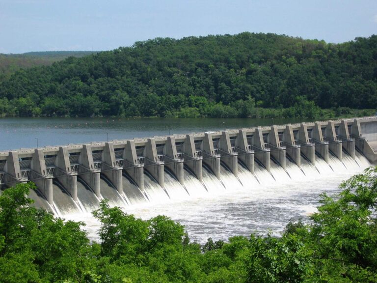
Photo: Dustin Moore, CC BY 2.0
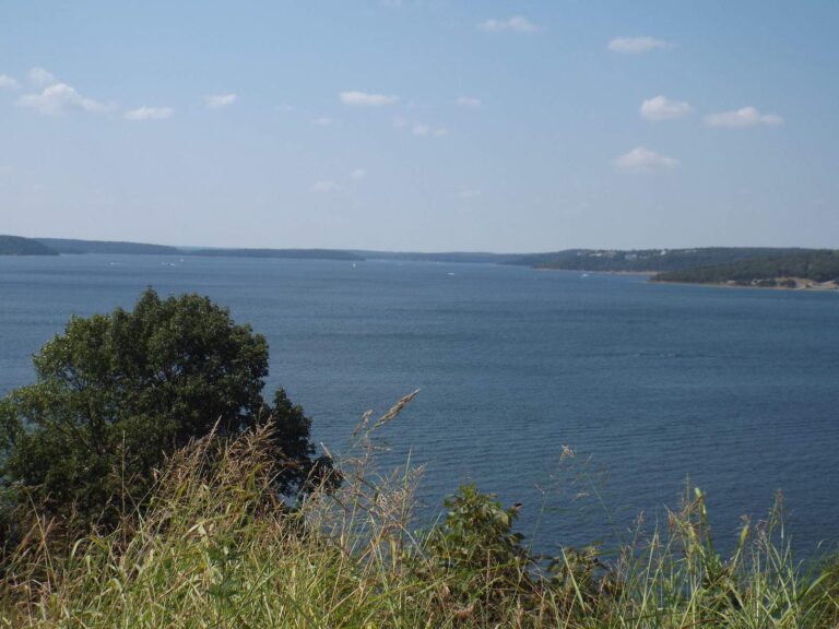
Photo: Robert Nunnally, CC BY 2.0
Sooner anglers ask about Rogers County water
Which ramps in Rogers County show up in USACE data?
13 ramps in the Corps data; Blue Creek Boat Ramp on Oologah Lake is one.
Which impoundment in Rogers County spreads over the most ground?
Oologah Lake, at 29,460 acres by ODWC's figure.
What should an angler visiting Rogers County go after?
Channel catfish top the count of lake pages within 50 miles, followed by largemouth bass, white crappie and black crappie.
Is there a bait and tackle shop in Rogers County?
JD Tackel Box leads a list of 6.
Are there licensed guides for Rogers County water?
12 guides name its water on the ODWC list.
Which town is the Rogers County county seat?
Claremore holds the courthouse.
Which fishing license fits Rogers County?
ODWC prices the annual Oklahoma fishing license at $31 for residents and $81 for nonresidents.
What county is closest to Rogers County?
Closest by centre point: Mayes County, Tulsa County and Washington County.
Which ODWC area rules reach Rogers County?
ODWC prints 1 special regulation for areas in or by this county, starting with Caney River; the table above shows each.
Has ODWC released fish into Rogers County water?
The 2024 and 2025 reports carry 4 rows; the newest lists 200,329 Hybrid Striped Bass at 2 in (2025) in Oologah.
Which ODWC record lines name Rogers County water?
White Bass, 5 lbs 1.00 ozs (rod and reel), from Verdigris River (04/01/1976).
Plan a Saturday on Rogers County water
Lake pages carry ramps, species and ODWC area rules.