Ohio Water Levels
Live USGS reservoir gauges, NOAA Lake Erie stations and the Ohio River gauges.
 Angler pickPiscifun Viper X spinning reel50% OFFSale $39.99
Photo of Atwood Lake: Roseohioresident, Public domain

Ohio reservoir gauges from USGS, live
| Lake | Level | Reading | Source |
|---|---|---|---|
| Berlin Lake | 1,016.08 ft | Oct 27, 2026 | USGS 03090000 |
| Lake Milton | 945.44 ft | Oct 27, 2026 | USGS 03091000 |
| Michael J. Kirwan Reservoir | 980.68 ft | Oct 27, 2026 | USGS 03092450 |
| Mosquito Creek Lake | 898.89 ft | Oct 27, 2026 | USGS 03095000 |
| Leesville Lake | 962.58 ft | Oct 27, 2026 | USGS 03120000 |
| Atwood Lake | 927.69 ft | Oct 27, 2026 | USGS 03121000 |
| Piedmont Lake | 913.12 ft | Oct 27, 2026 | USGS 03125500 |
| Clendening Lake | 897.88 ft | Oct 27, 2026 | USGS 03126500 |
| Tappan Lake | 899.06 ft | Oct 27, 2026 | USGS 03128000 |
| Senecaville Lake | 832.73 ft | Oct 27, 2026 | USGS 03141000 |
| O'Shaughnessy Reservoir | 848.51 ft | Oct 27, 2026 | USGS 03220500 |
| Griggs Reservoir | 755.64 ft | Oct 27, 2026 | USGS 03221500 |
| Hoover Reservoir | 890.60 ft | Oct 27, 2026 | USGS 03228400 |
| Caesar Creek Lake | 847.13 ft | Oct 27, 2026 | USGS 03242340 |
| East Fork Lake | 730.36 ft | Oct 27, 2026 | USGS 03247040 |
| West Fork Mill Creek Reservoir | 675.13 ft | Oct 27, 2026 | USGS 03256500 |
| Indian Lake | 996.05 ft | Oct 27, 2026 | USGS 03260500 |
| Lake Loramie | 953.75 ft | Oct 27, 2026 | USGS 03261800 |
| Clarence J Brown Reservoir | 1,010.38 ft | Oct 27, 2026 | USGS 03268090 |
| Buckeye Lake | 891.45 ft | Oct 27, 2026 | USGS 395540082291600 |
| Grand Lake St. Marys | 870.97 ft | Oct 27, 2026 | USGS 403204084342601 |
USGS provisional lake elevation data, refreshed hourly by the site.
NOAA Lake Erie water level stations on the Ohio shore
| Station | Basin | Reading | Datum | Recorded |
|---|---|---|---|---|
| Fairport | Central Basin | 571.51 ft | IGLD85 | October 26, 2026 |
| Cleveland | Central Basin | 571.51 ft | IGLD85 | October 26, 2026 |
| Marblehead | Western Basin | 571.45 ft | IGLD85 | October 26, 2026 |
| Toledo | Western Basin | 571.36 ft | IGLD85 | October 26, 2026 |
NOAA CO-OPS water level stations, provisional readings retrieved October 26, 2026; Lake Erie levels are in feet above IGLD 1985.
USGS gauges on the Ohio River along the Ohio shore
| USGS gauge | Latest reading | Time (ET) |
|---|---|---|
| Ohio River At Hannibal Lock And Dam (upper), Oh | 13.30 ft gage height | Oct 27 6:15 pm |
| Ohio River At Hannibal Lock And Dam (lower), Oh | 12.37 ft gage height | Oct 27 6:15 pm |
| Ohio River Above Sardis, Oh | 12.53 ft gage height | Oct 27 5:45 pm |
| Ohio River At Marietta, Oh | 15.92 ft gage height | Oct 27 6:00 pm |
US Geological Survey provisional data, retrieved Oct 27, 2026 6:33 pm ET. Provisional readings can be revised.
7 USGS gauges on the main stem report stage and flow; the Ohio River page shows them beside the launches of both regulation units.
Ohio lake pages carrying a gauge reading
- Atwood Lake1 gauge
- Berlin Lake1 gauge
- Buckeye Lake1 gauge
- Caesar Creek Lake1 gauge
- Clendening Lake1 gauge
- East Fork Lake1 gauge
- Grand Lake St. Marys1 gauge
- Griggs Reservoir1 gauge
- Hoover Reservoir1 gauge
- Indian Lake1 gauge
- Lake Loramie1 gauge
- Lake Milton1 gauge
- Leesville Lake1 gauge
- Michael J. Kirwan Reservoir1 gauge
- Mosquito Creek Lake1 gauge
- O'Shaughnessy Reservoir1 gauge
- Piedmont Lake1 gauge
- Tappan Lake1 gauge
Rivers are covered as well: 304 active USGS stream gauges feed the flow box on each Ohio river and creek page that has one.
Ohio Water Levels, with Ohio water shown

Photo: Upstateherd, CC BY-SA 4.0

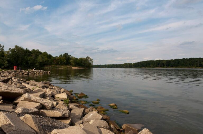
Photo: Sixflashphoto, CC BY-SA 4.0


Photo: Sixflashphoto, CC BY-SA 4.0


Photo: Mr. Matté (if there is an issue with this image, contact me using this image's Commons talk page , my Commons user talk page , or my English Wikipedia user talk page ; I'll know about it a lot faster), CC BY-SA 4.0

Questions on Ohio water levels
Which Ohio lakes have a live level here?
The live table lists 21 USGS reservoir gauges.
Where does the Lake Erie level come from?
NOAA water level stations at Fairport, Cleveland, Marblehead and Toledo, in feet above IGLD 1985.
Why are the Lake Erie readings dated rather than live?
USGS gauges refresh hourly on the site; the NOAA readings print as retrieved with their time.
Are Corps of Engineers reservoir pools shown?
No; the Corps water management data service blocks automated reading, so Ohio pages use USGS lake gauges instead.
Does the Ohio River have gauges here?
Yes, 7 USGS gauges on the main stem, shown above and on the Ohio River page.
Where are river flows for smaller streams?
On each river and creek page with a USGS gauge, as discharge and gauge height.
What datum do the reservoir gauges use?
Most USGS lake gauges in Ohio report elevation above NAVD 1988 or the older NGVD 1929; the table shows the value as reported.
How often should I check a level before launching?
Same day: reservoir pools and the Ohio River can move several feet after heavy rain.