Lake Erie Reefs and Shoals, Ohio
Western basin reefs and shoals and the central basin artificial reefs, mapped from ODNR coastal data.
 Pick for walleyePiscifun Viper X spinning reel50% OFFSale $39.99
Photo of Vermilion Harbor: Unknown author Unknown author or not provided, Public domain

Lake Erie reefs and shoals off the Ohio shore
The ODNR Office of Coastal Management maps 38 reefs and shoals in Ohio waters of Lake Erie: 30 natural reefs and shoals around the Bass Islands and off Port Clinton in the western basin, and 8 artificial reefs built off Cleveland and Lorain in the central basin. Walleye spawn on the western basin reefs in spring, which is why many charters start there.
ODNR OCM Lake Erie fish habitat, reefs and shoals layer, retrieved October 26, 2026; the layer prints depth for only 11 sites.
 For the walleye herePiscifun AlumiX spinning reel46% OFFSale $64.99
Natural reefs and shoals in Ohio western basin water
| Name | Kind | Basin | County | Depth | Position |
|---|---|---|---|---|---|
| Airport Reef | natural reef | Central Basin | Erie | 41.5936, -82.6622 | |
| American Eagle Shoal | shoal | Western Basin | Ottawa | 41.5995, -82.7667 | |
| Bay Point Shoal | shoal | Western Basin | Erie | from 15 ft | 41.5025, -82.6968 |
| Big Pickerel Reef | natural reef | Western Basin | Ottawa | 41.6681, -83.0719 | |
| Clinton Reef | natural reef | Western Basin | Ottawa | 41.5595, -82.8825 | |
| Cone Reef | natural reef | Western Basin | Ottawa | 11 to 21 ft | 41.6667, -83.0450 |
| Crane Reef | natural reef | Western Basin | Ottawa | 41.6758, -83.1031 | |
| Crib Reef | natural reef | Western Basin | Ottawa | 41.6456, -83.0073 | |
| East Sister Shoal | shoal | Western Basin | Ottawa | 41.8233, -82.8381 | |
| Flat Rock Reef | natural reef | Western Basin | Ottawa | 41.6592, -83.0175 | |
| Green Island Shoal | shoal | Western Basin | Ottawa | to 24 ft | 41.6447, -82.8683 |
| Gull Island Shoal | shoal | Western Basin | Ottawa | 8 to 17 ft | 41.6631, -82.6822 |
| Kelleys Island Shoal | shoal | Central Basin | Erie | 41.6447, -82.6322 | |
| Little Pickerel Reef | natural reef | Western Basin | Ottawa | 13 to 25 ft | 41.6695, -83.0217 |
| Locust Point Reef | natural reef | Western Basin | Ottawa | 41.6453, -83.0675 | |
| Marblehead Reef | natural reef | Central Basin | Erie | 41.5233, -82.6750 | |
| Middle Bass Island East Shoal | shoal | Western Basin | Ottawa | to 33 ft | 41.6986, -82.7653 |
| Middle Harbor Reef | natural reef | Western Basin | Ottawa | 41.5695, -82.7914 | |
| Mouse Island Reef | natural reef | Western Basin | Ottawa | 41.6070, -82.8336 | |
| Niagara Reef | natural reef | Western Basin | Ottawa | 3 to 22 ft | 41.6636, -82.9772 |
| North Bass Island Shoal, R '4' | shoal | Western Basin | Ottawa | to 22 ft | 41.7328, -82.8100 |
| Rock Shoal | shoal | Western Basin | Ottawa | 8 to 17 ft | 41.6006, -82.7347 |
| Round Reef | natural reef | Western Basin | Ottawa | 41.6175, -82.9861 | |
| Scott Point Shoal | shoal | Western Basin | Ottawa | 7 to 15 ft | 41.5850, -82.8008 |
| Starve Island Reef | natural reef | Western Basin | Ottawa | Surface rock to 17' | 41.6127, -82.8141 |
| Sugar Island Shoal | shoal | Western Basin | Ottawa | 41.6983, -82.8186 | |
| Toussaint Reef | natural reef | Western Basin | Ottawa | 41.6305, -83.0130 | |
| Turtle Reef | natural reef | Western Basin | Ottawa | 41.6489, -83.0986 | |
| West Reef | natural reef | Western Basin | Ottawa | 41.7120, -82.8483 | |
| West Sister Reef | natural reef | Western Basin | Ottawa | 41.7333, -83.1031 |
Artificial reefs off Cleveland and Lorain
| Name | Kind | Basin | County | Depth | Position |
|---|---|---|---|---|---|
| Big Test Reef | artificial reef | Central Basin | Cuyahoga | 41.5042, -81.7842 | |
| Cuyahoga County Commissioners Reef | artificial reef | Central Basin | Cuyahoga | 41.5031, -81.7875 | |
| Little Test Reef | artificial reef | Central Basin | Cuyahoga | 41.5045, -81.7922 | |
| Lorain Mountain Reef | artificial reef | Central Basin | Lorain | 41.4692, -82.2125 | |
| Lorain Polish Fisherman's Club Reef | artificial reef | Central Basin | Lorain | 41.4681, -82.2119 | |
| Stadium East | artificial reef | Central Basin | Cuyahoga | 41.6053, -81.5636 | |
| Stadium West #1 | artificial reef | Central Basin | Cuyahoga | 41.5025, -81.7600 | |
| Stadium West #2 | artificial reef | Central Basin | Cuyahoga | 41.4995, -81.7569 |
These structures were placed to give fish cover on the flat central basin bottom; positions are the mapped centre points, so use a chart plotter and current charts before anchoring.
Ohio shoreline views for Lake Erie Reefs and Shoals, Ohio

Photo: Upstateherd, CC BY-SA 4.0


Photo: Sixflashphoto, CC BY-SA 4.0


Photo: Sixflashphoto, CC BY-SA 4.0

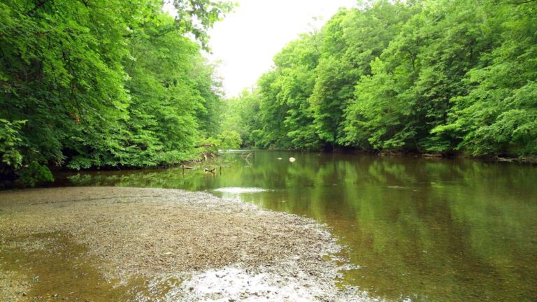
Photo: Aaron Zhu, CC BY-SA 3.0

Questions on Ohio Lake Erie reefs
How many Lake Erie reefs does Ohio map?
38 reefs and shoals in the ODNR coastal layer.
Where are the natural reefs?
In the western basin, around the Bass Islands, Kelleys Island and off Port Clinton and Marblehead.
Are there artificial reefs off Cleveland?
Yes: Stadium East, Stadium West #2, Stadium West #1 and Big Test Reef, plus reefs off Lorain.
Why do walleye anglers talk about reefs?
Lake Erie walleye spawn on western basin reefs in spring, and the fish stay near the reef complex into early summer.
Does the map give depths?
Only for 11 sites; the rest print no depth in the ODNR layer.
Do Lake Erie rules apply on the reefs?
Yes; the reefs sit in the Lake Erie Sport Fishing District, with its walleye and perch zone limits.
Can I reach the reefs from shore?
No; they lie offshore, so a boat or charter is needed.
Which ramps are closest to the western basin reefs?
Launches at Catawba, Port Clinton, Marblehead and the islands, listed on the Western Basin page.