Lake Superior Fishing
The Minnesota North Shore: harbors, piers, river mouths and the Lake Superior limits.
 Pick for lake troutPiscifun Carbon X ultralight spinning reel28% OFFSale $57.99
Photo: Pam Hendel, CC BY-SA 4.0

Lake Superior from Duluth to Grand Portage
Minnesota holds about 2,300 square miles of Lake Superior along the North Shore, from the Duluth-Superior Harbor and the St. Louis River Estuary to the Pigeon River at the Canadian border. The DNR manages lake trout, salmon, steelhead and other trout here, along with walleye in the estuary.
This page lists 12 DNR small craft harbors and protected accesses, 7 fishing piers and shore sites, 10 breakwall lights, 29 Lake Superior water accesses and 78 river mouths, plus the Lake Superior limits and 17 charter captains.
 For the lake trout herePiscifun Carbon XT ultralight spinning reel25% OFFSale $59.99
How the DNR describes Lake Superior fishing
“Lake Superior area fisheries staff perform management, habitat and oversight work for approximately 2,300 square miles of the largest freshwater lake in the world and portions of its tributary streams along Minnesota's North Shore.”
“Lake Superior, its tributary streams and their headwaters offer a wide array of fishing opportunities for varieties of trout and salmon unique to Minnesota's rustically scenic North Shore.”
“The North Shore trout fishing region includes only streams and their tributaries that flow into Lake Superior or the St. Louis River Estuary.”
“Many North Shore streams have barriers to fish movement such as falls. These barriers create two separate fish communities, one on the Lake Superior or lower side and one on the inland or upper side. These two areas have different fishing regulations.”
“Offspring produced from the captive steelhead broodstock are clipped and stocked back into North Shore streams and are legal to be harvested when they measure at least 16 inches.”
Quoted from DNR Lake Superior pages, checked October 2026.
Lake Superior harbors, piers and river mouths
DNR small craft harbors, Public Fishing Sites and water access layers, DNR Kittle routes and OpenStreetMap breakwall lights.
Lake Superior small craft harbors and protected accesses
- Rice’s Point AccessDuluth, Rice’s Point Access provides access to the St. Louis River, the Duluth-Superior Harbor, and Lake Superior. 2 launch ramps. 2 docks. 75 car/t
- Park Point AccessDuluth, Park Point Access is a small boat access managed by the city of Duluth, Duluth/Superior Harbor, as part of the Park Point Recreation Area. P
- McQuade AccessRice Lake, McQuade Access provides a protected public water access within a three-acre safe harbor basin. Four ramps: 50’ x 14’ with 5-foot minimum dep
- Knife River Harbor & MarinaTwo Harbors, Knife River Harbor & Marina is a full-service 100 slip marina with a public water access. Double launch ramp. One roll-in ramp dock and adja
- Two HarborsTwo Harbors, features a public water access located within commercial harbor. Future site of safe harbor with marina facilities. Three ramps with a 150-f
- Twin Points AccessBeaver Bay, Twin Points Access is a protected public water access. Two ramps (shallow bay and ramp area). 150-foot crib dock, provides some launch ramp
- Silver Bay HarborSilver Bay, features a public water access and 68 slip marina facilities located within a seven-acre safe harbor basin. Protected Access: Two ramps with
- Taconite HarborSilver Bay, is a protected public water access located within a two-acre safe harbor basin. Two concrete ramps (5-foot minimum depth at ramp end). Two d
- Tofte AccessGrand Marais, Tofte Access is a protected public water access. One steel mesh over rock and concrete ramp. Historic concrete crib dock. Paved parking for
- Grand MaraisGrand Marais, features a public water access located within commercial harbor. Limited marina facilities and mooring for transient boats. Two concrete lau
- Horseshoe Bay AccessGrand Marais, Horseshoe Bay Access is a protected public water access. Large concrete ramp. "L" shaped crib dock, provides some wave protection (may be sh
- Grand PortageGrand Marais, is a privately owned marina and water access located within Grand Portage Bay. Protected launch ramp within the marina basin. Gravel parking
DNR small craft harbor pages, checked October 2026.
Piers, breakwalls and shore sites on Lake Superior
- St. Louis River – Interstate Fishing Pierfishing pier, Duluth
- Lake Superior, French River Wayside Shore Fishing Siteshore fishing site, Rice Lake
- Superior – Twin Points Shore Fishing Siteshore fishing site, Beaver Bay
- Lake Superior Shore Fishing Siteshore fishing site, Rice Lake
- Lester Riverriver mouth and shore casting, Duluth
- McQuade Small Craft Harborharbor fishing piers / breakwater platform, Rice Lake
- Two Harbors Break wall at Lighthouse Pointbreakwall, Two Harbors
- Duluth South Breakwater Outer LightDuluth
- Two Harbors Breakwater FootpathTwo Harbors
- Two Harbors Breakwater FootpathTwo Harbors
- South Breakwater Inner LightDuluth
- Inner North Breakwater LightDuluth
- North Breakwater LightDuluth
- West Breakwater LightGrand Marais
- Duluth North Pier LightDuluth
- South PierDuluth
- North PierDuluth
River mouths on Lake Superior
- Pigeon RiverGrand Marais
- Grand Portage RiverGrand Marais, designated trout stream
- Hollow Rock CreekGrand Marais, designated trout stream
- Red Rock CreekGrand Marais, designated trout stream
- Reservation RiverGrand Marais, designated trout stream
- Farquhar CreekGrand Marais, designated trout stream
- Carlson CreekGrand Marais, designated trout stream
- Flute Reed RiverGrand Marais, designated trout stream
- Myhr CreekGrand Marais, designated trout stream
- Murphy CreekGrand Marais
- Brule RiverGrand Marais, designated trout stream
- Little Brule CreekGrand Marais, designated trout stream
- East Colville CreekGrand Marais, designated trout stream
- Kadunce RiverGrand Marais, designated trout stream
- Stone CreekGrand Marais, designated trout stream
- Kimball CreekGrand Marais, designated trout stream
- Cliff CreekGrand Marais, designated trout stream
- Durfee CreekGrand Marais, designated trout stream
- Devil Track RiverGrand Marais, designated trout stream
- Fall RiverGrand Marais, designated trout stream
- Rosebush CreekGrand Marais
- Cut Face CreekGrand Marais, designated trout stream
- Cascade RiverGrand Marais, designated trout stream
- Indian Camp CreekGrand Marais, designated trout stream
- Spruce Creek, Cook CountyGrand Marais, designated trout stream
- Jonvick CreekGrand Marais, designated trout stream
- Lutsen CreekGrand Marais
- Alfred CreekGrand Marais
- Poplar RiverGrand Marais, designated trout stream
- Rollins CreekGrand Marais, designated trout stream
- Onion RiverGrand Marais, designated trout stream
- Leveaux CreekGrand Marais
- Carlton CreekGrand Marais
- Temperance RiverSilver Bay, designated trout stream
- Cross RiverSilver Bay, designated trout stream
- Two Island RiverSilver Bay, designated trout stream
- Section 15 CreekSilver Bay
- Section 16 CreekSilver Bay, designated trout stream
- Last CreekSilver Bay
- Sugar Loaf CreekSilver Bay, designated trout stream
- Section 29 CreekSilver Bay
- Caribou RiverSilver Bay, designated trout stream
- Little Manitou RiverSilver Bay, designated trout stream
- Manitou RiverSilver Bay, designated trout stream
- Dragon CreekSilver Bay, designated trout stream
- Little Marais RiverSilver Bay, designated trout stream
- Kennedy CreekSilver Bay
- Crystal CreekSilver Bay
- Baptism RiverSilver Bay, designated trout stream
- Ness CreekSilver Bay
- Palisade CreekSilver Bay, designated trout stream
- Williams CreekSilver Bay
- White Rock CreekSilver Bay
- Beaver RiverBeaver Bay, designated trout stream
- Black Sand CreekBeaver Bay
- Shipwreck CreekBeaver Bay, designated trout stream
- Stream Number 30Beaver Bay, designated trout stream
- Split Rock RiverBeaver Bay, designated trout stream
- Twin Points CreekBeaver Bay, designated trout stream
- Nelsens CreekBeaver Bay
- Gooseberry RiverBeaver Bay, designated trout stream
- Castle Danger CreekTwo Harbors, designated trout stream
- Crow CreekTwo Harbors, designated trout stream
- Encampment RiverTwo Harbors, designated trout stream
- Silver Creek, Lake CountyTwo Harbors, designated trout stream
- Pete's CreekTwo Harbors, designated trout stream
- Stewart RiverTwo Harbors, designated trout stream
- Skunk CreekTwo Harbors
- Knife River, Lake CountyTwo Harbors, designated trout stream
- Little Sucker RiverTwo Harbors, designated trout stream
- Big Sucker CreekTwo Harbors, designated trout stream
- Schmidt CreekRice Lake, designated trout stream
- French RiverRice Lake, designated trout stream
- Talmadge RiverRice Lake, designated trout stream
- Lester RiverDuluth, designated trout stream
- St. Louis RiverDuluth
- Tischer CreekDuluth, designated trout stream
- Chester CreekDuluth, designated trout stream
Tributaries below posted boundaries follow Lake Superior tributary rules: single hook, 1 hour before sunrise to 1 hour after sunset, unclipped steelhead released (2026 regulations, pp. 34-36). Within 100 yards of a stream mouth only 1 line may be used on Lake Superior.
Lake Superior and tributaries below posted boundaries
| Species | Limit | Season |
|---|---|---|
| Brook trout and splake | 1 (combined total brook trout, splake, brown trout and rainbow trout is 5); minimum size 20" | April 11 – Sept. 30, 2026 |
| Rainbow trout (steelhead) – clipped adipose fin | 3 (combined total brook trout, splake, brown trout and rainbow trout is 5); minimum size 16" | Continuous |
| Rainbow trout (steelhead) – unclipped | Catch-and-release only | Continuous |
| Brown trout | 5 (combined total brook trout, splake, brown trout and rainbow trout is 5); minimum size 10", only 1 over 16" | Continuous |
| Lake trout | 3 | Dec. 1, 2025 – Oct. 4, 2026; Dec. 1, 2026 – Oct. 3, 2027 |
| Salmon (Chinook, coho, pink and Atlantic) | 5 combined total; minimum size 10" | Continuous |
| Walleye | 2; minimum size 15" | May 9, 2026 – March 1, 2027 |
| Northern pike | 2 | May 9, 2026 – March 1, 2027 |
| Smelt | No limit | Continuous |
| Lake or shovelnose sturgeon | Catch-and-release only; no tag/endorsement needed. | June 16 – April 14 (same dates every year) |
- Different regulations apply above or below posted boundaries on tributaries (areas accessible to migratory fish).rule
- Sanctuary areas closed to fishing include parts of the French, Knife, Lester, Devil Track and Kadunce rivers, and Gauthier Creek.rule
- Angling from boats is closed Oct. 6 – Nov. 30 from the outer end of the north arm of the Duluth ship canal to the mouth of Chester Creek.rule
- Angling hours on tributaries below posted boundaries: 1 hour before sunrise to 1 hour after sunset (except St. Louis River Estuary and Pigeon River).rule
- Single hook or fly only, no treble hooks, on tributaries below posted boundaries (except St. Louis River and Pigeon River).rule
- No more than 2 lines on Lake Superior, except only 1 line within 100 yards of the mouth of any flowing stream.rule
- Fish hooked anywhere except the mouth on tributaries below posted boundaries must be immediately returned.rule
- Unclipped steelhead (rainbow trout) must be immediately released; clipped adipose fin must show a healed scar.rule
2026 Minnesota Fishing Regulations, pages 34 to 36. Trout and Lake Superior rules.
Lake Superior charter captains
- Action Fishing ChartersLake Superior charter, Lake Superior, Duluth, (218) 355-8540
- Angler Management ChartersLake Superior charter, Lake Superior, Duluth, (218) 390-7933
- Cat's Paw Lake Superior FishingLake Superior charter, Lake Superior, Duluth, (218) 343-2337
- Chamorrita ChartersLake Superior charter, Lake Superior, Duluth, (218) 393-7121
- Grand Marais ChartersLake Superior charter, Lake Superior, Grand Marais, (218) 370-5800
- Happy Hooker ChartersLake Superior charter, Lake Superior, Duluth, (218) 310-7636
- I'd Rather Be Fishing ChartersLake Superior charter, Lake Superior, Duluth, (218) 428-0926
- James Addiction Charter FishingLake Superior charter, Lake Superior, Knife River, (218) 213-8816
- Lake and River ChartersLake Superior charter, Lake Superior, Duluth, (218) 590-1302
- Looper ChartersLake Superior charter, Lake Superior, Duluth, (218) 390-0062
- Nelsons Guide & Charter ServiceLake Superior charter, Lake Superior, Duluth, (218) 628-1681
- Optimum Charters – Lake Superior FishingLake Superior charter, Lake Superior, Duluth, (855) 700-0013
- Reel SwedeLake Superior charter, Lake Superior, (218) 387-4159
- Sunrise Charter FishingLake Superior charter, Lake Superior, Duluth, (218) 590-2700
- Superior Pursuits Charter FishingLake Superior charter, Lake Superior, Duluth, (906) 360-7513
- Team Crush OutdoorsLake Superior charter, Lake Superior, Duluth, (320) 761-6783
- Tofte ChartersLake Superior charter, Lake Superior, Schroeder, (218) 663-9932
Pictures of water close to Lake Superior
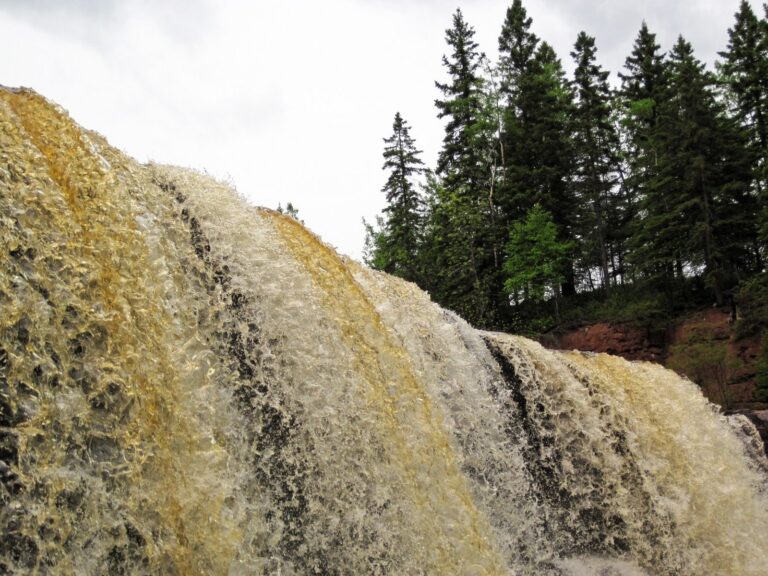
Photo: James St. John, CC BY 2.0

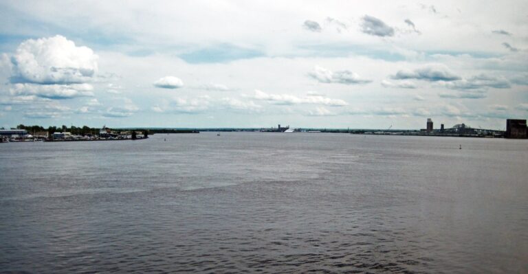
Photo: James St. John, CC BY 2.0

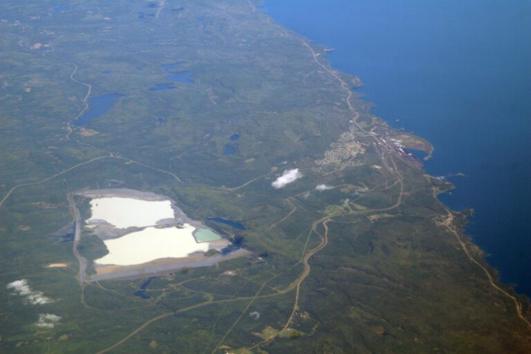
Photo: Doc Searls from Santa Barbara, USA, CC BY 2.0

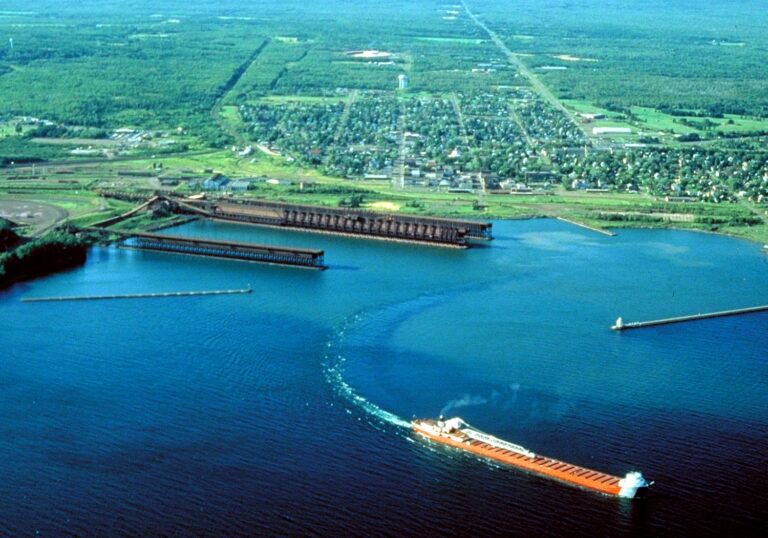
Photo: U.S. Army Corps of Engineers, photographer not specified or unknown, Public domain

Lake Superior fishing questions
What license do I need on Lake Superior?
Lake Superior takes a Minnesota angling license plus the $10 trout and salmon stamp validation (annual license $25 resident, $51 nonresident).
Can I fish the St. Louis River Estuary with a Minnesota license?
Yes; a Minnesota license covers the estuary, while Wisconsin waters of Lake Superior need a Wisconsin license.
How many lake trout can I keep on Lake Superior?
3, Dec. 1, 2025 – Oct. 4, 2026; Dec. 1, 2026 – Oct. 3, 2027
Can I keep a steelhead from Lake Superior?
Only rainbow trout with a clipped adipose fin may be kept; unclipped steelhead must be released.
Where are the North Shore harbors?
12 DNR harbors and accesses from Duluth to Grand Portage, including Rice’s Point Access, Park Point Access and McQuade Access.
Are boats allowed near the Duluth ship canal in fall?
Angling from boats is closed Oct. 6 to Nov. 30 from the north arm of the Duluth ship canal to the mouth of Chester Creek.
How many lines can I use near a river mouth?
Within 100 yards of a stream mouth only one line may be used on Lake Superior.
Are charters listed?
17 Lake Superior charter captains, mostly out of Duluth and Grand Marais.
Fish Lake Superior from the North Shore
Carry the trout and salmon stamp and read the tributary rules first.