Fishing in Yukon-Koyukuk Census Area, Alaska
Administrative center: Fort Yukon. Census 2020 residents: 5,343.
- 3lake pages
- 11ramps
- 152river pages
 Pick for salmonPiscifun Viper X spinning reel50% OFFSale $39.99
Photo of Chena River: Bernt Rostad, CC BY 2.0
First things to know about fishing Alaska's Yukon-Koyukuk Census Area
A headcount of 5,343 in 2020 makes up Yukon-Koyukuk Census Area, with Fort Yukon as the administrative center. As a census area it is counted by the Bureau but has no assembly. Within its boundary the Census counts 145,582 square miles of land and 2,296 square miles of water. This site writes up 3 lakes here, and Minto Lakes is the largest by size. The river pages of Yukon-Koyukuk Census Area cover Birch Creek, Kuskokwim River and Yukon River.
The access layers hold 11 ramps in Yukon-Koyukuk Census Area, plus 1 other fishing site harbor or trail sites. Across 1 lake of Yukon-Koyukuk Census Area, the hatchery record runs to 14 rows. Special regulation lines apply to 1 water here.
Population from the 2020 Census (TIGERweb), places and boroughs from the Census 2023 Gazetteer, read November 14, 2026. Launch or access details as published in the ADF&G goFishAK layer (ADF&G titles it a draft), read November 14, 2026.
A frontier water map of Yukon-Koyukuk Census Area
Launch or access details as published in the ADF&G goFishAK layer (ADF&G titles it a draft), read November 14, 2026. Lake pins are the ADF&G reference point for each lake.
Alaska lake pages for Yukon-Koyukuk Census Area
| Lake | Size | Access sites | ADF&G lists |
|---|---|---|---|
| Minto Lakes | about 2,677 acres of mapped outline | 0 | northern pike, sheefish |
| Dune Lake | about 204 acres of mapped outline | 0 | Arctic grayling, silver salmon, rainbow trout |
| Minto Flats | no size printed | 0 | northern pike |
Beyond Yukon-Koyukuk Census Area sit more lakes; miles run from Fort Yukon.
| Lake | From Fort Yukon | Size | Access sites | ADF&G lists |
|---|---|---|---|---|
| Olnes Pond | 126 miles southwest | no size printed | 0 | burbot, Arctic grayling, rainbow trout |
| Chena Lake | 138 miles southwest | about 241 acres of mapped outline | 0 | rainbow trout, Arctic char, Arctic grayling |
| Cushman Lake | 143 miles southwest | no size printed | 0 | Arctic grayling, northern pike, king salmon |
| North Slope Dalton Highway roadside fisheries | 155 miles northwest | no size printed | 0 | Dolly Varden, lake trout, Arctic grayling |
| Harding Lake | 156 miles south | about 2,260 acres of mapped outline | 0 | lake trout, burbot, Arctic char |
| Little Harding Lake | 158 miles south | no size printed | 0 | rainbow trout, northern pike |
Acres as the ADF&G lake layer lists them, read November 14, 2026. Lakes with no ADF&G acreage print their USGS mapped outline instead. Record from the ADF&G Sport Fish Lakes Database (SF_Lakes), read November 14, 2026.
 For the salmon herePiscifun AlumiX spinning reel46% OFFSale $64.99
Counting ADF&G species lists near Yukon-Koyukuk Census Area
Summing ADF&G lists for lakes within 250 miles of Fort Yukon, rainbow trout comes first.
ADF&G species lists, counted per lake page within 250 miles; presence in a layer, not a catch survey. Record from the ADF&G Sport Fish Lakes Database (SF_Lakes), read November 14, 2026.
Alaska rivers to wade in Yukon-Koyukuk Census Area
- Birch Creekregulation heading, 2 USGS gauges, goFishAK entry
- Kuskokwim River2 USGS gauges
- Yukon River2 USGS gauges
- Anvik River1 USGS gauge
- Beaver Creek1 USGS gauge
- Chatanika River1 USGS gauge
- Kandik River (Charley Creek)1 USGS gauge
- Koyukuk River1 USGS gauge
- Nenana River1 USGS gauge
- Slate Creek1 USGS gauge
- South Fork Koyukuk River1 USGS gauge, goFishAK entry
- Tanana River1 USGS gauge
- Tolovana River1 USGS gauge
- Unalakleet River1 USGS gauge, goFishAK entry
- Yukon River1 USGS gauge
- Yukon River1 USGS gauge
- *Wood River distributaryAWC stream record
- Alatna RiverAWC stream record
- Batza RiverAWC stream record
- Bettles RiverAWC stream record
- Big RiverAWC stream record
- Big Salt RiverAWC stream record
- Big Yetna RiverAWC stream record
- Black RiverAWC stream record
- Black River SloughAWC stream record
- Blind RiverAWC stream record
- Bonasila RiverAWC stream record
- Box RiverAWC stream record
- Charley RiverAWC stream record
- Cheeneetnuk RiverAWC stream record
USGS gauges reporting across Yukon-Koyukuk Census Area
| USGS gauge | Latest reading | Time (ET) |
|---|---|---|
| Kuskokwim R At Mcgrath Ak | 8.38 ft gage height | Nov 16 12:00 pm |
| Birch C Nr Circle Ak | 10.45 ft gage height | Nov 16 12:00 pm |
US Geological Survey provisional data, retrieved Nov 16, 2026 12:33 pm ET. Provisional readings can be revised.
Stream record from the ADF&G Anadromous Waters Catalog (2026 layer), read November 14, 2026. A catalog entry is a use record, not a fishing-quality claim. Streamflow and level from USGS National Water Information System; many Alaska gauges report only in the open-water season.
Alaska trailer launches around Yukon-Koyukuk Census Area
- Birch Creek Bridgelaunch ramp; Yukon-Koyukuk Census Area
- Circle boat launchlaunch ramp; Yukon-Koyukuk Census Area
- Kanuti boat launchlaunch ramp; Yukon-Koyukuk Census Area
- Lower Birch Creek Waysidelaunch ramp; Yukon-Koyukuk Census Area
- Manley Boat Launchlaunch ramp; Yukon-Koyukuk Census Area
- Manley Hot Springs Landinglaunch ramp; Yukon-Koyukuk Census Area
- Minto Village Launchlaunch ramp; Yukon-Koyukuk Census Area
- Nenana 10th street Boat Launchlaunch ramp; Yukon-Koyukuk Census Area
- Nome Creek Put-in pointlaunch ramp; Yukon-Koyukuk Census Area
- Upper Birch Creek Waysidelaunch ramp; Yukon-Koyukuk Census Area
- Yukon River Boat Launchlaunch ramp; Yukon-Koyukuk Census Area
ADF&G fishing access sites in Yukon-Koyukuk Census Area
- Quartz Creek Trailangler access trail; Yukon-Koyukuk Census Area
Launch or access details as published in the ADF&G goFishAK layer (ADF&G titles it a draft), read November 14, 2026.
Named lakes on the Alaska map of Yukon-Koyukuk Census Area
- Lake Minchuminaabout 11,712 acres of mapped outline
- Chandalar Lakeabout 5,428 acres of mapped outline
- Iniakuk Lakeabout 3,134 acres of mapped outline
- Wild Lakeabout 2,163 acres of mapped outline
- Old John Lakeabout 5,736 acres of mapped outline
- Vundik Lakeabout 4,268 acres of mapped outline
- Reindeer Lakeabout 4,195 acres of mapped outline
- Fish Lake (Tanana)about 3,796 acres of mapped outline
- Sixmile Lakeabout 3,360 acres of mapped outline
- Graphite Lakeabout 3,059 acres of mapped outline
- Wien Lakeabout 2,672 acres of mapped outline
- Ohtig Lakeabout 2,355 acres of mapped outline
- Tiinkdhul Lakeabout 2,262 acres of mapped outline
- Bob Johnson Lakeabout 2,197 acres of mapped outline
- Ackerman Lakeabout 1,811 acres of mapped outline
- Lake Todatontenabout 1,654 acres of mapped outline
- West Twin Lake (Kantishna)about 1,617 acres of mapped outline
- Chloya Lakeabout 1,579 acres of mapped outline
- Twin Lakes (Chandalar)about 1,553 acres of mapped outline
- Sithylemenkat Lakeabout 1,502 acres of mapped outline
- Venetie Lakeabout 1,446 acres of mapped outline
- Big Fish Lakeabout 1,401 acres of mapped outline
- Tanjoga Lakeabout 1,361 acres of mapped outline
- Hahanudan Lakeabout 1,350 acres of mapped outline
- Lake Tokhakklantenabout 1,326 acres of mapped outline
- Huntington Sloughabout 1,238 acres of mapped outline
- Kaldolyeit Lakeabout 1,230 acres of mapped outline
- Guitar Lakeabout 1,197 acres of mapped outline
- East Twin Lakeabout 1,192 acres of mapped outline
- Boulder Lakeabout 1,163 acres of mapped outline
- Twin Island Lakeabout 1,132 acres of mapped outline
- Hozatka Lakeabout 1,094 acres of mapped outline
- Hadokhten Lakeabout 1,076 acres of mapped outline
- Twin Lakesabout 1,045 acres of mapped outline
- Tulebagh Lakeabout 1,016 acres of mapped outline
- Chahalie Lakeabout 1,007 acres of mapped outline
- Nelson Lakeabout 1,005 acres of mapped outline
- Big Lakeabout 991 acres of mapped outline
- Black Bear Lakeabout 945 acres of mapped outline
- Medicine Lakeabout 937 acres of mapped outline
Mapped outline area computed from the USGS National Hydrography Dataset waterbody polygon, read November 14, 2026: outline area is not a surface-acre figure from ADF&G. Names come from ADF&G lake lists and the USGS names layer; no page and no fish list for these lakes.
Regulation headings in the booklets that touch Yukon-Koyukuk Census Area waters
Rules and fees are the 2026 edition: ADF&G prints "Effective until the 2027 summary is issued" on every 2026 booklet, and no 2027 booklet exists. Emergency orders supersede the booklet.
- Birch CreekBIRCH CREEK, Susitna River drainage: other than king salmon.
Rules as printed in the 2026 ADF&G Sport Fishing Regulations Summary (booklet). Effective until the 2027 summary is issued; emergency orders supersede the booklet (ADF&G emergency orders). Read November 14, 2026.
SF_Lakes stocking rows for Yukon-Koyukuk Census Area waters
| Lake | Date | Species | Fish | Size as printed |
|---|---|---|---|---|
| Dune Lake | Jun 03, 2026 | coho salmon | 2,750 | 2.8 in. / 0.1 oz. |
| Dune Lake | Jun 02, 2025 | rainbow trout | 10,047 | 2.3 in. / 0.1 oz. |
| Dune Lake | Jun 03, 2024 | coho salmon | 2,763 | 2.7 in. / 0.1 oz. |
| Dune Lake | Jun 06, 2023 | rainbow trout | 10,021 | 2.4 in. / 0.1 oz. |
| Dune Lake | Jun 07, 2022 | coho salmon | 5,507 | 2.8 in. / 0.1 oz. |
| Dune Lake | Jun 09, 2021 | rainbow trout | 10,245 | 2.3 in. / 0.1 oz. |
| Dune Lake | May 29, 2020 | coho salmon | 4,513 | 2.7 in. / 0.1 oz. |
| Dune Lake | May 29, 2019 | rainbow trout | 10,000 | 2.5 in. / 0.1 oz. |
| Dune Lake | Jun 07, 2018 | coho salmon | 5,501 | 2.8 in. / 0.1 oz. |
| Dune Lake | Jun 01, 2017 | rainbow trout | 10,000 | 2.3 in. / 0.1 oz. |
Stocking events from the ADF&G Hatcheries and Stocking search, 2026 events read November 14, 2026. The search returns past stocking events, not a forward schedule.
Where Alaska anglers in Yukon-Koyukuk Census Area shop
Tackle counters on the road to Yukon-Koyukuk Census Area, Alaska
- Two River Rodsbait and tackle shop, Fairbanks, 127 miles
- Alaska Fly Shopfly shop, Fairbanks, 142 miles
Yellow Pages, chamber and DOT&PF harbor listings (city of business), read November 14, 2026. Guides are listed as businesses; no licence or registration status is implied.
A short stretch past Yukon-Koyukuk Census Area, Alaska
Across the Alaska borough line from Yukon-Koyukuk Census Area
- Denali Borough126 miles south
- Fairbanks North Star Borough156 miles east
- Matanuska-Susitna Borough224 miles south
- Northwest Arctic Borough261 miles northwest
Piscifun gear an angler could bring north to Yukon-Koyukuk Census Area


Piscifun and Amazon links are affiliate links; the site earns a commission on qualifying purchases.
Early light on the water near Yukon-Koyukuk Census Area, northern style
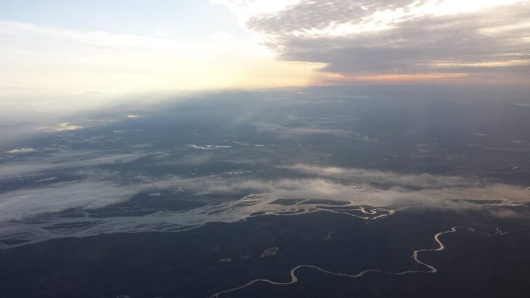
Photo: Bernt Rostad, CC BY 2.0
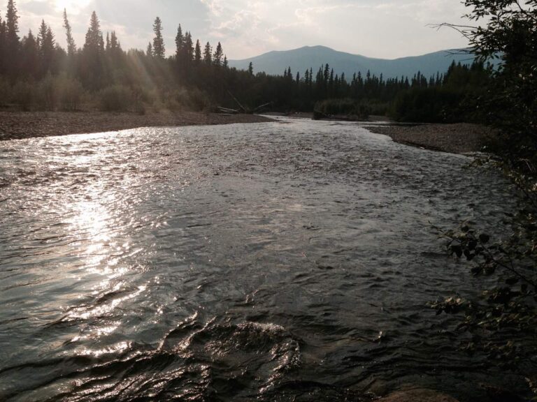
Photo: Brian, CC BY 2.0
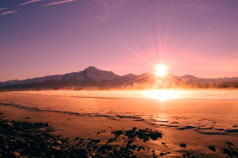
Photo: Cecil Sanders, CC BY 2.0
Lakes, forks and harbors of Yukon-Koyukuk Census Area, explained
How many goFishAK ramps are listed for Yukon-Koyukuk Census Area?
There are 11 ramps in the access data.
Where is the widest lake in Yukon-Koyukuk Census Area?
Minto Lakes, with about 2,677 acres of mapped outline.
What fish does ADF&G name near Yukon-Koyukuk Census Area?
The layers name rainbow trout on the most lake pages within 250 miles, then Arctic grayling, lake trout and Arctic char; they show presence, not a catch.
Where can I buy bait in Yukon-Koyukuk Census Area, Alaska?
The closest shops sit outside Yukon-Koyukuk Census Area and appear above.
Where does Yukon-Koyukuk Census Area keep its administrative center?
Fort Yukon has it.
Which Alaska licenses cover fishing in Yukon-Koyukuk Census Area?
A resident annual sport fishing license is $20 and a nonresident annual license $100
What lies next to Yukon-Koyukuk Census Area?
Begin with Denali Borough, Fairbanks North Star Borough and Matanuska-Susitna Borough.
How many Dolly Varden or trout may I take home from Yukon-Koyukuk Census Area?
Limits depend on the booklet area, the species heading and any heading printed for the water; the four booklet pages on this site give the headings, and king salmon rows lean on emergency orders. Rules and fees are the 2026 edition: ADF&G prints "Effective until the 2027 summary is issued" on every 2026 booklet, and no 2027 booklet exists. Emergency orders supersede the booklet.
Do the 2026 booklets print a lake heading in Yukon-Koyukuk Census Area?
1 water with a page here carry their own heading, beginning with Birch Creek.
Did hatchery trucks visit Yukon-Koyukuk Census Area?
SF_Lakes lists 14 stocking records across 1 lake in Yukon-Koyukuk Census Area.
Set up an Alaska fishing week in Yukon-Koyukuk Census Area
Lake pages carry access sites, ADF&G species lists and booklet headings.