Fishing in Southeast Fairbanks Census Area, Alaska
Administrative center: Deltana. Census 2020 residents: 6,808.
- 7lake pages
- 12ramps
- 19river pages
 Pick for salmonPiscifun Viper X spinning reel50% OFFSale $39.99
Photo of Chena River: Bernt Rostad, CC BY 2.0
Fishing Southeast Fairbanks Census Area in brief
Census 2020 put 6,808 people in Southeast Fairbanks Census Area; Deltana serves as its administrative center. A census area is a Census Bureau statistical unit, not a local government. Its Gazetteer footprint is 24,832 square miles of land and 289 square miles of water. By acreage or outline, Quartz Lake tops the 7 lakes with pages. Stream pages for Southeast Fairbanks Census Area: Central Creek, Goodpaster River and Kandik River (Charley Creek).
ADF&G and DOT&PF together place 12 ramps and 6 other fishing sites in Southeast Fairbanks Census Area. SF_Lakes logs 199 stocking records on the lake pages of Southeast Fairbanks Census Area, across 5 lakes. 1 water in Southeast Fairbanks Census Area carry a heading of their own in the 2026 summary.
Population from the 2020 Census (TIGERweb), places and boroughs from the Census 2023 Gazetteer, read November 14, 2026. Launch or access details as published in the ADF&G goFishAK layer (ADF&G titles it a draft), read November 14, 2026.
Marking lakes, harbors and walk-in sites in Southeast Fairbanks Census Area
Launch or access details as published in the ADF&G goFishAK layer (ADF&G titles it a draft), read November 14, 2026. Lake pins are the ADF&G reference point for each lake.
Choosing among the Alaska lakes of Southeast Fairbanks Census Area
| Lake | Size | Access sites | ADF&G lists |
|---|---|---|---|
| Quartz Lake | about 1,494 acres of mapped outline | 0 | landlocked salmon, Arctic grayling, rainbow trout |
| Little Donna Lake | about 45 acres of mapped outline | 0 | rainbow trout |
| Craig Lake | about 26 acres of mapped outline | 0 | rainbow trout, lake trout |
| Coal Mine Road Lakes | no size printed | 0 | Arctic grayling, Arctic char, landlocked salmon |
| Donna Lake | no size printed | 0 | silver salmon, rainbow trout |
| Four Mile Lake | no size printed | 0 | rainbow trout, lake trout, Arctic char |
| Rapids Lake | no size printed | 0 | rainbow trout, lake trout |
Acres as the ADF&G lake layer lists them, read November 14, 2026. Lakes with no ADF&G acreage print their USGS mapped outline instead. Record from the ADF&G Sport Fish Lakes Database (SF_Lakes), read November 14, 2026.
 For the salmon herePiscifun AlumiX spinning reel46% OFFSale $64.99
Which fish the layers list across Southeast Fairbanks Census Area waters
The count covers ADF&G lists on lakes within 80 miles of Deltana, with rainbow trout in front.
ADF&G species lists, counted per lake page within 80 miles; presence in a layer, not a catch survey. Record from the ADF&G Sport Fish Lakes Database (SF_Lakes), read November 14, 2026.
Alaska rivers and creeks running through Southeast Fairbanks Census Area
- Central Creek1 USGS gauge
- Goodpaster River1 USGS gauge
- Kandik River (Charley Creek)1 USGS gauge
- Nation River1 USGS gauge
- Slate Creek1 USGS gauge
- Tanana River1 USGS gauge
- Yukon River1 USGS gauge
- Charley RiverAWC stream record
- Chisana RiverAWC stream record
- Clearwater CreekgoFishAK entry
- Delta RiverAWC stream record
- Fortymile RiverAWC stream record
- Johnson RiverAWC stream record
- Nabesna RiverAWC stream record
- Robertson RiverAWC stream record
- Seventymile RiverAWC stream record
- South Fork Goodpaster RiverAWC stream record
- Tatonduk RiverAWC stream record
- Tok RiverAWC stream record
How the rivers of Southeast Fairbanks Census Area are running, by gauge
| USGS gauge | Latest reading | Time (ET) |
|---|---|---|
| Wade C Trib Nr Chicken Ak | 19.09 ft gage height | Nov 16 12:15 pm |
US Geological Survey provisional data, retrieved Nov 16, 2026 12:33 pm ET. Provisional readings can be revised.
Stream record from the ADF&G Anadromous Waters Catalog (2026 layer), read November 14, 2026. A catalog entry is a use record, not a fishing-quality claim. Streamflow and level from USGS National Water Information System; many Alaska gauges report only in the open-water season.
Alaska boat launches inside Southeast Fairbanks Census Area
- Big Delta Boat Launchlaunch ramp; Southeast Fairbanks Census Area
- Eagle Boat Launchlaunch ramp; Southeast Fairbanks Census Area
- Fortymile Bridge Waysidelaunch ramp; Southeast Fairbanks Census Area
- Mosquito Fork Bridge Waysidelaunch ramp; Southeast Fairbanks Census Area
- South Fork Bridge Waysidelaunch ramp; Southeast Fairbanks Census Area
- Tanana River (Tok)launch ramp; Southeast Fairbanks Census Area
- Walker Fork Campgroundlaunch ramp; Southeast Fairbanks Census Area
- West Fork Campground & River Accesslaunch ramp; Southeast Fairbanks Census Area
- Chisana River Boat Launchlaunch ramp; Southeast Fairbanks Census Area
- Clearwater Lake Launchlaunch ramp; Southeast Fairbanks Census Area
- Quartz Lake Boat Launchlaunch ramp; Southeast Fairbanks Census Area
- Tanana River Accesslaunch ramp; Southeast Fairbanks Census Area
Bank spots within Southeast Fairbanks Census Area
- Coal Mine Roadangler access trail; Southeast Fairbanks Census Area
- Craig Lake Trailangler access trail; Southeast Fairbanks Census Area
- Donna Lakes Trailangler access trail; Southeast Fairbanks Census Area
- Four Mile Lake Trailangler access trail; Southeast Fairbanks Census Area
- Lisa Lake Trailangler access trail; Southeast Fairbanks Census Area
- Rapids Lake Trailangler access trail; Southeast Fairbanks Census Area
Launch or access details as published in the ADF&G goFishAK layer (ADF&G titles it a draft), read November 14, 2026.
The short list of minor lakes inside Southeast Fairbanks Census Area
- George Lake (Delta)about 4,898 acres of mapped outline
- Jatahmund Lakeabout 2,797 acres of mapped outline
- Mansfield Lakeabout 2,333 acres of mapped outline
- Fish Lakeabout 1,547 acres of mapped outline
- Dathlalmund Lakeabout 1,457 acres of mapped outline
- Wolf Lake (Delta)about 1,428 acres of mapped outline
- Midway Lakeabout 1,387 acres of mapped outline
- Fish Lake (Tanacross)about 1,289 acres of mapped outline
- Fish Lakeabout 1,179 acres of mapped outline
- Gasoline Lakeabout 925 acres of mapped outline
- Volkmar Lakeabout 908 acres of mapped outline
- Moosehead Lakeabout 839 acres of mapped outline
- Carden Lakeabout 674 acres of mapped outline
- Old Albert Lakeabout 672 acres of mapped outline
- Twelvemile Lakeabout 668 acres of mapped outline
- Takomahto Lakeabout 625 acres of mapped outline
- Tenmile Lakeabout 505 acres of mapped outline
- Tahamund Lakeabout 503 acres of mapped outline
- Nuziamundcho Lakeabout 503 acres of mapped outline
- Tsolmund Lakeabout 426 acres of mapped outline
- T Lakeabout 404 acres of mapped outline
- Glaman Lakeabout 400 acres of mapped outline
- Black Lakeabout 395 acres of mapped outline
- Moose Lake (Mt. Hayes)about 363 acres of mapped outline
- Beaver Lake (Nabesna)about 340 acres of mapped outline
- Deadman Lake (AK Hwy)about 329 acres of mapped outline
- Big John Lakeabout 319 acres of mapped outline
- Eliza Lakeabout 318 acres of mapped outline
- Dog Lakeabout 292 acres of mapped outline
- Tutkaimund Lakeabout 270 acres of mapped outline
- Island Lakeabout 264 acres of mapped outline
- Wellesley Lakesabout 260 acres of mapped outline
- Yarger Lakeabout 259 acres of mapped outline
- Braye Lakes (North)about 240 acres of mapped outline
- Tsilchin Lakeabout 236 acres of mapped outline
- Long Lakeabout 236 acres of mapped outline
- Island Lake (AK Hwy)about 229 acres of mapped outline
- Koole Lakeabout 217 acres of mapped outline
- Mundthag Lakeabout 215 acres of mapped outline
- Wellesley Lakesabout 213 acres of mapped outline
Mapped outline area computed from the USGS National Hydrography Dataset waterbody polygon, read November 14, 2026: outline area is not a surface-acre figure from ADF&G. Names come from ADF&G lake lists and the USGS names layer; no page and no fish list for these lakes.
Special-rule headings printed for Southeast Fairbanks Census Area lakes and streams
Rules and fees are the 2026 edition: ADF&G prints "Effective until the 2027 summary is issued" on every 2026 booklet, and no 2027 booklet exists. Emergency orders supersede the booklet.
- Quartz LakeQUARTZ CREEK, Kenai River: Upstream of the Sterling Highway Bridge (Mile 40.9):
Rules as printed in the 2026 ADF&G Sport Fishing Regulations Summary (booklet). Effective until the 2027 summary is issued; emergency orders supersede the booklet (ADF&G emergency orders). Read November 14, 2026.
Hatchery fish released into Southeast Fairbanks Census Area waters
| Lake | Date | Species | Fish | Size as printed |
|---|---|---|---|---|
| Quartz Lake | Sep 29, 2026 | Chinook salmon | 199 | 9.8 in. / 6.0 oz. |
| Quartz Lake | Sep 29, 2026 | Chinook salmon | 3,845 | 9.6 in. / 5.7 oz. |
| Quartz Lake | Sep 28, 2026 | Chinook salmon | 4,258 | 9.7 in. / 5.7 oz. |
| Craig Lake | Sep 01, 2026 | lake trout | 250 | 4.7 in. / 0.7 oz. |
| Quartz Lake | Sep 01, 2026 | rainbow trout | 12,562 | 3.4 in. / 0.3 oz. |
| Rapids Lake | Sep 01, 2026 | lake trout | 202 | 4.7 in. / 0.7 oz. |
| Four Mile Lake | Sep 01, 2026 | lake trout | 500 | 4.7 in. / 0.7 oz. |
| Quartz Lake | Jun 18, 2026 | rainbow trout | 3,258 | 10.6 in. / 7.6 oz. |
| Rapids Lake | Jun 09, 2026 | rainbow trout | 3,716 | 2.2 in. / 0.1 oz. |
| Quartz Lake | Jun 05, 2026 | rainbow trout | 2,567 | 10.0 in. / 6.3 oz. |
Stocking events from the ADF&G Hatcheries and Stocking search, 2026 events read November 14, 2026. The search returns past stocking events, not a forward schedule.
Buying flies inside Southeast Fairbanks Census Area
Restocking leaders and line for Southeast Fairbanks Census Area, Alaska
- Two River Rodsbait and tackle shop, Fairbanks, 88 miles
- Alaska Fly Shopfly shop, Fairbanks, 103 miles
- Reynolds Alaska-Sporting Goodsbait and tackle shop, Valdez, 186 miles
- Valdez Prospector Outfittersbait and tackle shop, Valdez, 187 miles
- Valdez Harbormarina, Valdez, 187 miles
Yellow Pages, chamber and DOT&PF harbor listings (city of business), read November 14, 2026. Guides are listed as businesses; no licence or registration status is implied.
Grouped near Southeast Fairbanks Census Area on the Alaska map
Alaska boroughs and census areas next to Southeast Fairbanks Census Area
- Fairbanks North Star Borough113 miles northwest
- Copper River Census Area128 miles south
- Denali Borough208 miles west
- Matanuska-Susitna Borough225 miles southwest
Piscifun kit to stow in the dry bag for time at Southeast Fairbanks Census Area


Piscifun and Amazon links are affiliate links; the site earns a commission on qualifying purchases.
Fjords, lakes and tidewater by Southeast Fairbanks Census Area through a lens
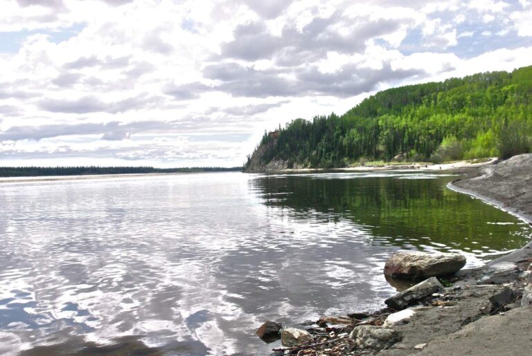
Photo: Ron Reiring, CC BY 2.0
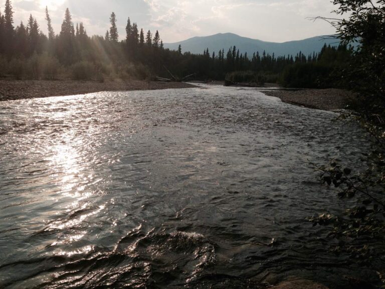
Photo: Brian, CC BY 2.0
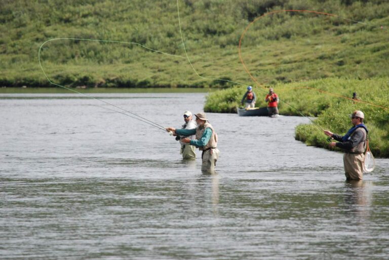
Photo: Bureau of Land Management, CC BY 2.0
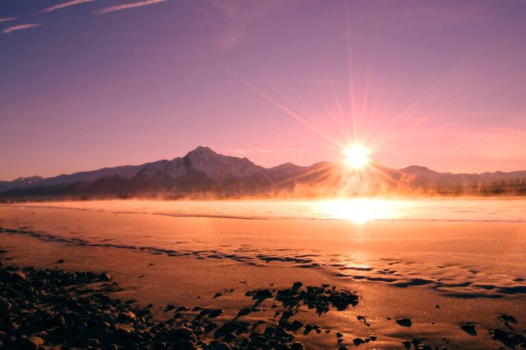
Photo: Cecil Sanders, CC BY 2.0
Alaska: the questions Southeast Fairbanks Census Area anglers trade over coffee
How many boat ramps does Southeast Fairbanks Census Area have in the ADF&G data?
The access layers list 12 ramps.
Which Alaska water in Southeast Fairbanks Census Area has the biggest size figure?
That is Quartz Lake, listed at about 1,494 acres of mapped outline.
Which fish lead the ADF&G lists near Southeast Fairbanks Census Area?
The layers name rainbow trout on the most lake pages within 80 miles, then lake trout, Arctic grayling and Arctic char; they show presence, not a catch.
Is there an Alaska harbor or bait counter in Southeast Fairbanks Census Area?
None inside Southeast Fairbanks Census Area; the list above holds the closest.
From which community does Southeast Fairbanks Census Area run its affairs?
Deltana.
Which licenses should anglers in Southeast Fairbanks Census Area carry?
A resident annual sport fishing license is $20 and a nonresident annual license $100
Which boroughs and census areas lie closest to Southeast Fairbanks Census Area?
Fairbanks North Star Borough, Copper River Census Area and Denali Borough sit nearest.
How many fish may I keep on Southeast Fairbanks Census Area water?
Limits depend on the booklet area, the species heading and any heading printed for the water; the four booklet pages on this site give the headings, and king salmon rows lean on emergency orders. Rules and fees are the 2026 edition: ADF&G prints "Effective until the 2027 summary is issued" on every 2026 booklet, and no 2027 booklet exists. Emergency orders supersede the booklet.
Where do the Alaska limits change in Southeast Fairbanks Census Area?
1 water with a page here carry their own heading, beginning with Quartz Lake.
Which waters in Southeast Fairbanks Census Area get hatchery fish?
SF_Lakes lists 199 stocking records across 5 lakes in Southeast Fairbanks Census Area.
Hitch the skiff for water in Southeast Fairbanks Census Area
Check a water's heading before keeping fish.