Pennsylvania Water Levels
Live USGS lake gauges, dated Corps pool elevations from three districts and the NOAA Erie and Delaware stations.
 Angler pickPiscifun Viper X spinning reel50% OFFSale $39.99
Photo of Kinzua Dam: Andre Carrotflower, CC BY-SA 4.0

Pennsylvania lake gauges from USGS, live
| Lake | Level | Reading | Source |
|---|---|---|---|
| Prompton Dam | 1,124.91 ft | Oct 24, 2026 | USGS 01428900 |
| Francis E. Walter Reservoir | 1,302.79 ft | Oct 24, 2026 | USGS 01447780 |
| Beltzville Lake | 628.12 ft | Oct 24, 2026 | USGS 01449790 |
| Blue Marsh Reservoir | 286.83 ft | Oct 24, 2026 | USGS 01470870 |
| Chambers Lake | 579.78 ft | Oct 24, 2026 | USGS 01480399 |
| Struble Lake | 616.89 ft | Oct 24, 2026 | USGS 0148064640 |
| Tioga Reservoir | 1,081.33 ft | Oct 24, 2026 | USGS 01517900 |
| Hammond Lake | 1,086.14 ft | Oct 24, 2026 | USGS 01518498 |
| Cowanesque Lake | 1,080.35 ft | Oct 24, 2026 | USGS 01519995 |
| Stillwater Lake, Susquehanna County | n/a | ||
| Aylesworth Creek Lake | 1,108.05 ft | Oct 24, 2026 | USGS 01534490 |
| Curwensville Lake | 1,162.28 ft | Oct 24, 2026 | USGS 01541180 |
| Glendale Lake | 1,427.36 ft | Oct 24, 2026 | USGS 01541340 |
| First Fork Sinnemahoning Creek Reservoir | 922.16 ft | Oct 24, 2026 | USGS 01543900 |
| Kettle Creek Lake | 842.93 ft | Oct 24, 2026 | USGS 01544800 |
| Foster Joseph Sayers Lake | 630.06 ft | Oct 24, 2026 | USGS 01547480 |
| Raystown Lake | 785.62 ft | Oct 24, 2026 | USGS 01563100 |
| Indian Rock Dam near York | 373.17 ft | Oct 24, 2026 | USGS 01574700 |
| Allegheny Reservoir | 1,317.97 ft | Oct 24, 2026 | USGS 03012520 |
| Tionesta Lake | 1,088.71 ft | Oct 24, 2026 | USGS 03019500 |
| Union City Reservoir | 1,219.67 ft | Oct 24, 2026 | USGS 03021518 |
| Woodcock Creek Lake | 1,164.57 ft | Oct 24, 2026 | USGS 03022550 |
| East Branch Clarion River Lake | 1,648.44 ft | Oct 24, 2026 | USGS 03027000 |
| Mahoning Creek Lake | 1,088.90 ft | Oct 24, 2026 | USGS 03035500 |
| Crooked Creek Lake | 844.20 ft | Oct 24, 2026 | USGS 03038500 |
| Conemaugh River Lake | 911.83 ft | Oct 24, 2026 | USGS 03043500 |
| Loyalhanna Lake | 924.08 ft | Oct 24, 2026 | USGS 03046500 |
| Youghiogheny River Lake | 1,438.27 ft | Oct 24, 2026 | USGS 03077000 |
| Shenango River Lake | 895.03 ft | Oct 24, 2026 | USGS 03103400 |
| Lake Arthur | 1,190.09 ft | Oct 6, 2026 | USGS 03106280 |
USGS provisional lake elevation data, refreshed hourly by the site.
Corps reservoir pools and NOAA stations in Pennsylvania
| Station | Water | Agency | Reading | Datum | Recorded |
|---|---|---|---|---|---|
| Conemaugh River Lake, PA | Conemaugh River Lake | USACE Pittsburgh District | 913.64 ft | NAVD88 | October 23, 2026 |
| Crooked Creek Lake, PA | Crooked Creek Lake | USACE Pittsburgh District | 844.09 ft | NAVD88 | October 23, 2026 |
| East Branch Clarion Lake, PA | East Branch Clarion River Lake | USACE Pittsburgh District | 1,648.69 ft | NAVD88 | October 23, 2026 |
| Allegheny Reservoir, PA | Allegheny Reservoir | USACE Pittsburgh District | 1,318.47 ft | NAVD88 | October 23, 2026 |
| Loyalhanna Lake, PA | Loyalhanna Lake | USACE Pittsburgh District | 923.89 ft | NAVD88 | October 23, 2026 |
| Mahoning Creek Lake, PA | Mahoning Creek Lake | USACE Pittsburgh District | 1,091.01 ft | NAVD88 | October 23, 2026 |
| Shenango River Lake, PA | Shenango River Lake | USACE Pittsburgh District | 895.01 ft | NAVD88 | October 23, 2026 |
| Tionesta Lake, PA | Tionesta Lake | USACE Pittsburgh District | 1,089.04 ft | NAVD88 | October 23, 2026 |
| Union City Dam, PA | Union City Reservoir | USACE Pittsburgh District | 1,221.08 ft | NAVD88 | October 23, 2026 |
| Youghiogheny River Lake, PA | Youghiogheny River Lake | USACE Pittsburgh District | 1,438.63 ft | NAVD88 | October 23, 2026 |
| Aylesworth Creek Lake | Aylesworth Creek Lake | USACE Baltimore District | 1,108.05 ft | local datum | October 23, 2026 |
| Alvin R. Bush Dam | Kettle Creek Lake | USACE Baltimore District | 842.94 ft | local datum | October 23, 2026 |
| Cowanesque Lake | Cowanesque Lake | USACE Baltimore District | 1,080.37 ft | local datum | October 23, 2026 |
| Curwensville Lake | Curwensville Lake | USACE Baltimore District | 1,162.41 ft | local datum | October 23, 2026 |
| Hammond Lake | Hammond Lake | USACE Baltimore District | 1,086.17 ft | local datum | October 23, 2026 |
| Indian Rock Dam | Indian Rock Dam (dry dam) | USACE Baltimore District | 373.14 ft | local datum | October 23, 2026 |
| Raystown Lake | Raystown Lake | USACE Baltimore District | 786.01 ft | local datum | October 23, 2026 |
| Foster Joseph Sayers Dam | Foster Joseph Sayers Lake | USACE Baltimore District | 630.07 ft | local datum | October 23, 2026 |
| George B. Stevenson Dam | George B. Stevenson Reservoir | USACE Baltimore District | 922.22 ft | NGVD29 | October 23, 2026 |
| Stillwater Lake | Stillwater Lake, Susquehanna County | USACE Baltimore District | 1,573.19 ft | local datum | October 23, 2026 |
| Tioga Lake | Tioga Reservoir | USACE Baltimore District | 1,081.33 ft | local datum | October 23, 2026 |
| Beltzville Dam | Beltzville Lake | USACE Philadelphia District | 628.14 ft | NAVD88 | October 23, 2026 |
| Blue Marsh Dam | Blue Marsh Reservoir | USACE Philadelphia District | 287.29 ft | NAVD88 | October 23, 2026 |
| F.E. Walter Dam | Francis E. Walter Reservoir | USACE Philadelphia District | 1,302.62 ft | NAVD88 | October 23, 2026 |
| Jadwin Dam | General Edgar Jadwin Reservoir | USACE Philadelphia District | 989.31 ft | NAVD88 | October 23, 2026 |
| Prompton Dam | Prompton Dam | USACE Philadelphia District | 1,124.98 ft | NAVD88 | October 23, 2026 |
| Marcus Hook | Delaware River (tidal estuary) | NOAA CO-OPS | 3.23 ft | MLLW | October 23, 2026 |
| Philadelphia | Delaware River (tidal estuary) | NOAA CO-OPS | 4.96 ft | MLLW | October 23, 2026 |
| Bridesburg | Delaware River (tidal estuary) | NOAA CO-OPS | 5.41 ft | MLLW | October 23, 2026 |
| Newbold | Delaware River (tidal estuary) | NOAA CO-OPS | 7.47 ft | MLLW | October 23, 2026 |
| Erie, Lake Erie | Lake Erie | NOAA CO-OPS | 571.5 ft | IGLD85 | October 23, 2026 |
USACE Pittsburgh (LRP), Baltimore (NAB) and Philadelphia (NAP) district CWMS pool elevations and NOAA CO-OPS stations, read October 23, 2026; values are provisional, and the Baltimore District series use a local gauge datum.
Pennsylvania lake pages that print a level
- Allegheny Reservoir2 gauges
- Aylesworth Creek Lake2 gauges
- Beltzville Lake2 gauges
- Blue Marsh Reservoir2 gauges
- Chambers Lake1 gauge
- Conemaugh River Lake2 gauges
- Cowanesque Lake2 gauges
- Crooked Creek Lake2 gauges
- Curwensville Lake2 gauges
- East Branch Clarion River Lake2 gauges
- Foster Joseph Sayers Lake2 gauges
- Francis E. Walter Reservoir2 gauges
- George B. Stevenson Reservoir1 gauge
- Glendale Lake1 gauge
- Hammond Lake2 gauges
- Kettle Creek Lake2 gauges
- Lake Arthur1 gauge
- Loyalhanna Lake2 gauges
- Mahoning Creek Lake2 gauges
- Prompton Dam2 gauges
- Raystown Lake2 gauges
- Shenango River Lake2 gauges
- Stillwater Lake, Susquehanna County2 gauges
- Struble Lake1 gauge
- Tioga Reservoir3 gauges
- Tionesta Lake2 gauges
- Union City Reservoir2 gauges
- Woodcock Creek Lake1 gauge
- Youghiogheny River Lake2 gauges
Streams are covered too: 372 active USGS stream gauges feed the flow box on each river and creek page that has one.
Keystone lakes and creeks seen from Pennsylvania Water Levels
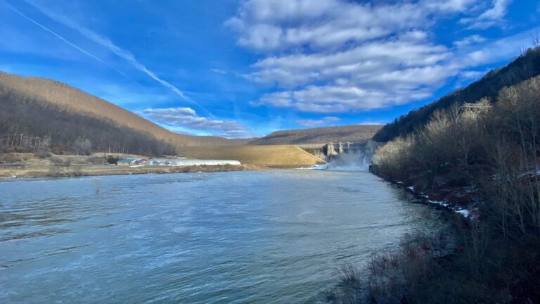
Photo: Andre Carrotflower, CC BY-SA 4.0

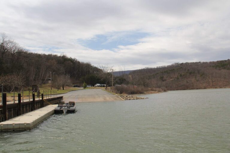
Photo: Ron Shawley, CC BY 3.0

Photo: U.S. Army Corps of Engineers, CC BY 2.0

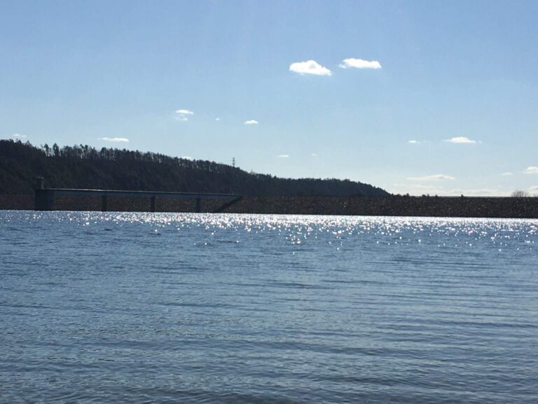
Photo: JohnDziak, CC0 1.0

Pennsylvania water level questions
Which Pennsylvania lakes show a live level here?
30 USGS lake gauges, listed in the live table.
Where do the Corps reservoir levels come from?
The Pittsburgh, Baltimore and Philadelphia districts of the Army Corps of Engineers publish pool elevations through CWMS.
How many Corps reservoirs are on this page?
10 Pittsburgh District, 11 Baltimore District and 5 Philadelphia District series.
Is the Lake Erie level shown?
Yes, from the NOAA station at Erie, in feet above IGLD 1985.
Why are Corps readings dated instead of live?
The site refreshes USGS values every hour; Corps and NOAA readings print as retrieved, with their date.
Why do some Baltimore District readings look small?
Those series use a local gauge datum, not sea level, so the number is a stage on that gauge.
Where are river flows?
Each river and stream page with a USGS gauge shows its own discharge and height.
Are tidal Delaware River stations included?
Yes, the NOAA tidal stations on the Delaware print their latest reading above MLLW.