Fishing in Saline County, Missouri
Courthouse in Marshall. MDC manages its fish from the MDC Central Region.
- 2lake pages
- 16ramps
- 4river pages
 Pick for troutPiscifun Carbon X ultralight spinning reel28% OFFSale $57.99
Photo of Truman Lake: Semipaw, CC BY 3.0
A fishing primer on Saline County
At the 2020 Census, Saline County had 23,333 people, with the courthouse in Marshall. The Census Gazetteer lists 11.4 square miles of water beside 756 of land. On MDC maps this water belongs to the MDC Central Region. The Missouri River marks a state border, shared under reciprocal permits.
Blind Pony Lake leads 2 lake pages in the area, which cover 170 acres in all. The MDC and Corps ramp layers list 16 public ramps here, 0 of them marked accessible. The MDC dock layer holds 2 fishing docks, 2 jetties and 0 cleaning stations. MDC trout programs cover Lake Minesa.
Census 2020 population and 2023 Gazetteer areas; MDC Managed Public Waterbody outlines, boat ramp/access, dock, jetty and fish attractor layers; USACE ramp layers; retrieved October 2026.
 For the trout herePiscifun Carbon XT ultralight spinning reel25% OFFSale $59.99
Ramps, docks and lake pages of Saline County on one map
MDC boat ramp/access and dock layers, USACE ramps, MDC lake label points and MDC stream access areas. Checked October 2026.
Reservoirs and community lakes across Saline County
| Lake | Acres | Ramps | Motor note | Fish MDC names |
|---|---|---|---|---|
| Blind Pony Lake | 154 | 0 | largemouth bass, crappie, bluegill | |
| Amary Lake | 16 | 1 |
Lake pages over the Saline County line, nearest to Marshall first.
| Lake | From Marshall | Acres | Ramps | Motor note | Fish MDC names |
|---|---|---|---|---|---|
| Edwin A Pape Lake | 24 miles southwest | 269 | 1 | largemouth bass, crappie, bluegill | |
| Peters Lake | 25 miles east | 62 | 1 | ||
| Higginsville City Lake | 25 miles west | 147 | 2 | largemouth bass, crappie, bluegill | |
| D. C. Rogers Lake | 26 miles east | 203 | 2 | ||
| Sterling Price Community Lake | 28 miles northeast | 26 | 1 | largemouth bass, crappie, bluegill | |
| Pine Ridge Lake | 29 miles northeast | 25 | 1 |
MDC Managed Public Waterbody outlines (GIS acres), MDC 2026 Fishing Prospects species and boating notes; retrieved October 2026.
The fish lineup in water around Saline County
The bars count lake pages within 50 miles of Marshall where MDC reports or trout programs name each fish; crappie tops the list.
Species named in MDC 2026 Fishing Prospects text, the MDC state record list and MDC trout program waters, counted per lake page within 50 miles; not a full survey.
Numbered pools and small lakes of Saline County
The MDC waterbody map holds 11 further ponds and pools in Saline County.
| Water | Acres | Attractors | Nearest place |
|---|---|---|---|
| Teteseau Lake | 27 | 0 | Miami |
| Lake Wooldridge | 13 | 0 | Miami |
| Big Soldier Lake | 5 | 0 | Arrow Rock |
| Malta Bend Community Lake | 4 | 0 | Malta Bend |
| Perkins Pond | 3 | 0 | Mount Leonard |
| Clemens Pond | 2 | 0 | Mount Leonard |
| Lake Minesa | 2 | 0 | Marshall |
| Cromley Pond | 2 | 0 | Mount Leonard |
| Egan Pond | 1 | 0 | Mount Leonard |
| Kids Fishing Pond | 1 | 0 | Mount Leonard |
| Mackler Pond | 1 | 0 | Mount Leonard |
MDC Managed Public Waterbody outlines and fish attractor layer, retrieved October 2026.
Creeks and rivers running through Saline County
- Missouri River32 MDC ramps, 26 access areas, 553 mi in Missouri
- Chariton River6 access areas, 112 mi in Missouri
- Blackwater River2 access areas, 79 mi in Missouri
- Little Chariton River1 access area, 13 mi in Missouri
USGS gauges reporting in Saline County
| USGS gauge | Latest reading | Time (ET) |
|---|---|---|
| Blackwater River At Blue Lick, Mo | 21 cfs, 6.93 ft gage height | Nov 11 6:45 pm |
US Geological Survey provisional data, retrieved Nov 11, 2026 7:33 pm ET. Provisional readings can be revised.
MDC stream access areas and boat ramps, MDC trout and smallmouth management layers, USGS NHD lengths and USGS gauges; retrieved October 2026.
Cold-water options in Saline County
Lake Minesa take MDC rainbows for the winter season. Keeping trout takes a Missouri trout permit on top of the fishing permit: $12 for residents and $24 for nonresidents 16 and older.
MDC trout program statements (2026 regulations booklet, MDC news releases and area pages); MDC publishes no per-water stocking table; trout areas and trout parks as printed in the 2026 regulations booklet pp. 24 to 27.
MDC ramps and docks in Saline County
- Grand Pass Conservation Area (east ramp)MDC area, boat ramp, parking
- Grand Pass Conservation Area (north ramp)MDC area, boat ramp, parking
- Grand Pass Conservation Area (south ramp)MDC area, boat ramp, parking
- Grand Pass Conservation Area (west ramp)MDC area, boat ramp, parking
- Grand Pass Conservation Area on Missouri RiverMissouri River, boat ramp, parking
- Marshall (Amary Lake) on Amary LakeAmary Lake, boat ramp, parking, privy nearby
- McAllister Springs AccessMDC area, boat ramp, parking
- Miami Access on Missouri RiverMissouri River, boat ramp, parking, privy nearby
- Grand Pass Conservation AreaMDC area, boat ramp, parking
- Grand Pass Conservation AreaMDC area, boat ramp, parking
- Grand Pass Conservation AreaMDC area, boat ramp, parking
- Grand Pass Conservation AreaMDC area, boat ramp, parking
- Grand Pass Conservation AreaMDC area, boat ramp, parking
- Grand Pass Conservation Area (north ramp)MDC area, boat ramp, parking
- Grand Pass Conservation Area (south ramp)MDC area, boat ramp, parking
- Grand Pass Conservation Area (west ramp)MDC area, boat ramp, parking
Saline County shore structures on MDC maps (2)
- Fishing dock at Amary Lake, Marshall1 dock, 1 accessible
- Fishing docks and jetties at Blind Pony Lake, Blind Pony Lake Conservation Area1 dock, 2 jetties, 2 accessible
MDC boat ramp/access, fishing dock, jetty and cleaning station layers; USACE Little Rock District ramp layers; retrieved October 2026.
Keeping fish legally in Saline County
Start with the statewide table for Saline County, then check the list of waters with their own rules.
| Species | Limit | Season |
|---|---|---|
| Black bass (largemouth, smallmouth, spotted/Kentucky) | 6 a day | All year |
| Black bass (largemouth, smallmouth, spotted/Kentucky) (Ozark streams) | 6 a day; 12" minimum | May 23, 2026–Feb. 28, 2027 |
| Channel catfish | 10 a day | All year |
| Blue catfish | 5 a day | All year |
| Flathead catfish | 5 a day | All year |
| Crappie (black and white) | 30 a day | All year |
| Goggle-eye (Ozark, rock, and shadow bass) and warmouth | 15 a day; 7" minimum | All year |
| Muskellunge | 1 (daily limit is 1 muskellunge or 1 northern pike); 36" minimum | All year |
| Northern pike | 1 (daily limit is 1 muskellunge or 1 northern pike) | All year |
| Paddlefish (spoonbill) | 2 a day; 32" minimum (eye to fork of tail) | March 15–April 30 |
| Pickerel (chain and grass) | 6 a day | All year |
| Shovelnose sturgeon | 10 a day; 30" maximum (snout to fork of tail) | All year |
| Trout (rainbow and brown) | 4 a day; Rainbow: none; Brown: 15" minimum in streams | All year |
| Walleye and sauger | 4 a day; 15" minimum | All year |
| White, yellow, and striped bass and their hybrids | 15 a day; No more than 4 longer than 18" | All year |
Limits and seasons as printed in A Summary of Missouri Fishing Regulations 2026 (MDC, effective March 1, 2026), page 20 (booklet PDF); retrieved October 27, 2026. Rules as printed in A Summary of Missouri Fishing Regulations 2026 (MDC, effective March 1, 2026) (booklet PDF, Special Regulations on Large Lakes and on Rivers and Streams); checked against the current Wildlife Code October 27, 2026.
Fishing the state line from Saline County
On the Missouri, Mississippi and St. Francis rivers a neighbouring state's permit is honoured on the shared channel; Missouri tributaries need a Missouri permit at $14 for residents or $57 for nonresidents.
| Water | Border note |
|---|---|
| Missouri River | state-line river |
Border water entries and permit fees as printed in A Summary of Missouri Fishing Regulations 2026 (MDC, effective March 1, 2026); MDC outline shares from MDC GIS.
State records from water around Saline County
For Saline County, the nearest state-record waters lie within 70 miles.
| Species | Weight | Method | Water | Date | Source |
|---|---|---|---|---|---|
| Spotted Bass | 2 lbs. 11 oz. | jug line | Harry S Truman Lake | May 11, 2016 | MDC record list |
| Hybrid Striped Bass | 9 lbs. 1 oz. | jug line | Lake of the Ozarks | Oct. 31, 2016 | MDC record list |
| Hybrid Striped Bass | 21 lbs. 11 oz. | pole and line | Lake of the Ozarks | May 19, 2019 | MDC record list |
| Striped Bass | 39 lbs. 8 oz. | jug line | Lake of the Ozarks | Oct. 11, 2002 | MDC record list |
MDC State Record Fish list (first page of 135 records readable) and MDC news releases, retrieved October 2026.
The Saline County tournament calendar
Saline County turns up in 2 organizer listings, 0 not yet held.
| Date | Event | Water | Organizer |
|---|---|---|---|
| Aug. 29, 2026 | Central Missouri Catfish Tournaments Dalton Bottoms Access (2026-08-29) | Missouri River | Central Missouri Catfish Tournaments |
| March 28, 2026 | Central Missouri Catfish Tournaments Miami Access (2026-03-28) | Missouri River | Central Missouri Catfish Tournaments |
Organizer schedule and results pages (MDC publishes no tournament calendar), checked October 2026.
Supplies and hired help in Saline County
Saline County tackle counters
- Andy's Boat Repairmarina, Sweet Springs
Yellow Pages and chain store listings, guide listings (county of business); retrieved October 2026.
Close to Saline County
Cities and villages found within Saline County
- Marshallpop. 13,806
- Slaterpop. 1,834
- Sweet Springspop. 1,316
Adjoining county pages for Saline County
- Carroll County26 miles northwest
- Howard County27 miles east
- Pettis County29 miles south
- Cooper County29 miles southeast
Piscifun tackle a Missouri angler might take to Saline County


Piscifun and Amazon links are affiliate links; the site earns a commission on qualifying purchases.
Lakes and streams close to Saline County, pictured
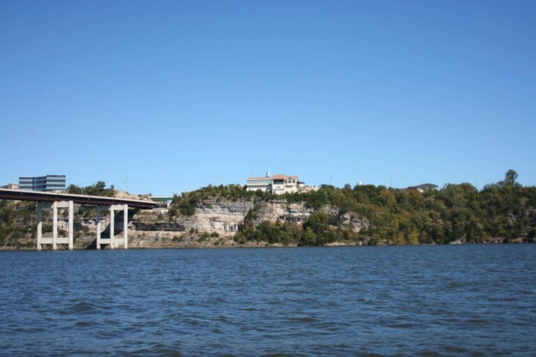
Photo: Ben Jacobson ( Kranar Drogin ), CC BY-SA 3.0

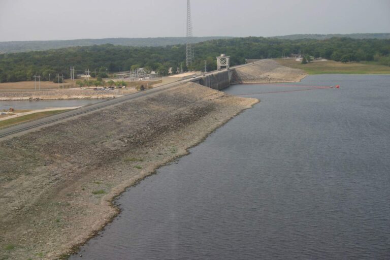
Photo: MoBikeFed, CC BY 2.0

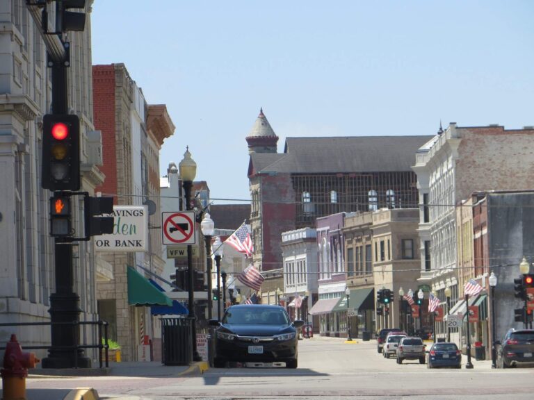
Photo: David Wilson, CC BY 2.0

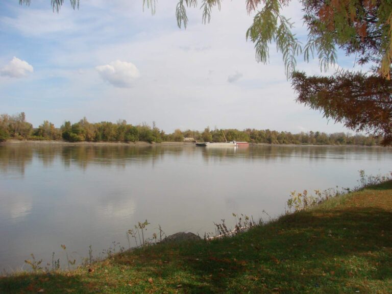
Photo: Carl Belken, CC BY-SA 3.0

Fishing in Saline County, question by question
Can I launch a bass boat in Saline County?
Count 16 public ramps, including 0 accessible.
Which reservoir is the large one in Saline County?
Blind Pony Lake, at 154 acres on its MDC outline.
What species are common in lakes around Saline County?
Crappie lead the count of lake pages within 50 miles that MDC reports name, followed by channel catfish, largemouth bass and bluegill.
Where do Saline County anglers pick up minnows and nightcrawlers?
Try Andy's Boat Repair; the list holds 1.
How many guide listings carry a Saline County address?
None list this area; see the guides page.
Where do Saline County officials meet?
The courthouse is in Marshall.
Which MDC permit does a Saline County trip call for?
MDC sells the annual fishing permit at $14 to residents and $57 to nonresidents; $9 buys one day. To take trout home, add the $12 resident trout permit. The big border rivers work on reciprocity: a neighbouring state's permit is good on the shared channel.
Which Show-Me counties are a short drive from Saline County?
Try Carroll County, Howard County and Pettis County.
Which MDC office manages fish in Saline County?
The answer is the MDC Central Region.
How many events fish Saline County water?
2 events on file from organizer pages, none still ahead.
Is there trout fishing in Saline County?
Lake Minesa; MDC trout rules for each are on the linked pages.
Give Saline County a fishing weekend
River pages list accesses and gauges.