Boat Ramps Near Me
Share your location for the closest public boat ramps and launches on a map, with miles, directions and the lake each one serves, in 22 states.
 Angler pickPiscifun Viper X spinning reel50% OFFSale $39.99
Photo: Jeffrey Beall, CC BY 4.0
Boat Ramps Near Me, state by state
Or open a state guide for every lake, river and access it lists.
Alabama
90 lakes, 67 rivers and 35 coastal waters
California
1,501 lakes, 263 rivers and 49 coastal waters
Colorado
670 lakes and 336 rivers
Florida
162 lakes, 45 rivers and 65 coastal waters
Georgia
288 lakes, 524 rivers and 12 coastal waters
Idaho
413 lakes and 210 rivers
Illinois
402 lakes and 51 rivers
Indiana
679 lakes and 100 rivers
Louisiana
96 lakes, 148 rivers and 32 coastal waters
Michigan
1,039 lakes and 625 rivers
Minnesota
3,570 lakes and 297 rivers
Missouri
239 lakes and 117 rivers
New York
338 lakes and 411 rivers
North Carolina
165 lakes, 319 rivers and 41 coastal waters
Ohio
148 lakes and 70 rivers
Oklahoma
162 lakes and 27 rivers
Oregon
326 lakes, 108 rivers and 25 coastal waters
Pennsylvania
290 lakes and 1,163 rivers
Texas
175 lakes, 27 rivers and 31 coastal waters
Virginia
155 lakes, 144 rivers and 54 coastal waters
Washington
634 lakes, 207 rivers and 37 coastal waters
Wisconsin
3,411 lakes and 1,176 rivers
How the ramp finder works
Where the ramps come from
Each state wildlife or boating agency publishes its public boat access sites. Ramps carry the name and water the agency gives them.
Lanes, fees and parking
Where the agency lists lanes, surface, parking, fees or hours, the ramp listing or the lake page shows them.
Low water
The lake page shows the current level where a gauge reports it, so a ramp left high and dry is easier to spot before you drive.
Piers and bank access
Fishing piers and shore access are on the same map in their own color.
Launches, piers and paddle access
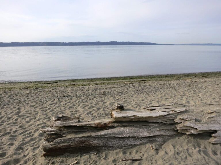
Photo: Ruth Hartnup, CC BY 2.0
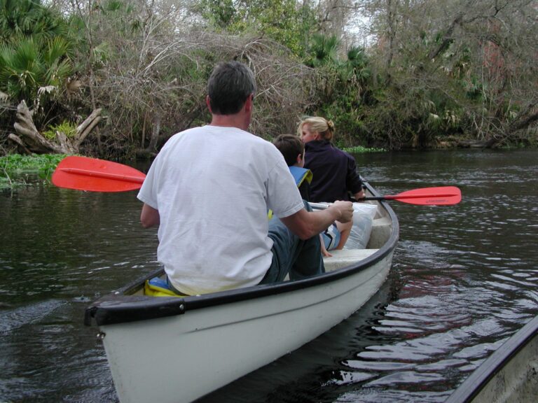
Photo: rampartgeneral, CC BY 2.0
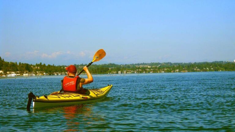
Photo: AJ Montpetit, CC0 1.0
Boat Ramps Near Me: questions
How do I find a boat ramp near me?
Press the button at the top of this page and allow location. The closest public boat ramps in the 22 states on this site come up on a map and in a numbered list with miles and directions.
Are these ramps free?
Many are free. Some state parks, Corps of Engineers parks and county ramps charge a launch or parking fee. The listing shows a fee where the agency publishes one.
Do I need a boat registration or launch pass?
Boat registration rules belong to each state. Some states also require an access pass or stamp at agency ramps; the state license page says so.
Can I launch a kayak at a boat ramp?
Usually yes. Many agencies also list separate paddle launches, and these show on the map as access points.
How do I know if a ramp is usable at low water?
Check the lake page for the current level and any ramp notes before you drive.
Why does the closest ramp show another state?
Distance is measured straight-line across state lines. Use the state tiles below to stay inside one state.
How accurate is my location?
It uses the location your browser reports. The town picker under the map corrects it if it is off.
Which states are covered?
Alabama, California, Colorado, Florida, Georgia, Idaho, Illinois, Indiana, Louisiana, Michigan, Minnesota, Missouri, New York, North Carolina, Ohio, Oklahoma, Oregon, Pennsylvania, Texas, Virginia, Washington and Wisconsin. More states are being added.
Pick a state
Lakes, rivers and coast with ramps, limits and live levels.