Lake Superior Fishing
Harbors, Apostle Islands water, tributaries, charters and the lake trout rules for Lake Superior.
 Pick for lake troutPiscifun Carbon X ultralight spinning reel28% OFFSale $57.99
Photo: NPS photo, Public domain

Lake Superior from Superior to the Apostle Islands
Wisconsin waters of Lake Superior run from the Duluth-Superior harbor east along the Bayfield Peninsula and the Apostle Islands to Chequamegon Bay and the Montreal River. Lake trout lead the catch, with salmon, brown trout and steelhead off the tributaries and walleye, smallmouth and perch in the bays.
For Lake Superior you will find 28 landings, 4 harbors and bays, 0 shore sites, 62 river mouths and 12 charter captains below.
 For the lake trout herePiscifun Carbon XT ultralight spinning reel25% OFFSale $59.99
The DNR view of Lake Superior angling
“Lake Superior is the largest freshwater lake in the world by surface area. And with all that water – comes good fishing.”
“The Apostle Islands and Western Arm regions of Lake Superior in Wisconsin waters are home to some of the most productive fisheries in the entire lake. In Lake Superior, lake trout roam as the top predators and they are the most popular species sought after by anglers. If that’s not enough, nearshore areas such as Chequamegon Bay are an angler’s paradise with a diverse assemblage of cold-water and cool-water species, and numerous tributaries such as the famed Bois Brule River provide memorable runs of trout and salmon.”
“Here you’ll find resources that will help with your fishing trip to Lake Superior and resources to help you learn about the fisheries management practices to help protect and enhance Lake Superior fishing.”
Quoted from WDNR Lake Superior pages, checked October 2026.
Harbors and tributaries of Lake Superior on one map
WDNR Boat Access and Shore Fishing layers and assessment units.
Ramps and harbors for reaching Lake Superior
- Little Sand Bay AccessBayfield County, 1 lane
- Squaw Bay AccessBayfield County
- Bark Point Boat LandingBayfield County, 1 lane
- Bell Marina – Cornucopia AccessBayfield County, 1 lane
- Lost Creek 1 Canoe LaunchBayfield County, 1 lane
- Red CliffBayfield County, 1 lane
- Bark Bay Slough AccessBayfield County, 1 lane
- Herbster LandingBayfield County
- Bayfield City Boat LaunchBayfield County, 2 lanes
- Port Wing Marina Boat RampBayfield County, 1 lane
- Iron River AccessBayfield County, 1 lane
- Onion River AccessBayfield County
- Bois Brule River Mouth AccessDouglas County, 1 lane
- Sioux River AccessBayfield County, 1 lane
- Barkers Island MarinaDouglas County, 2 lanes
- Loons Foot LandingDouglas County, 4 lanes
- Mouth of the Middle River Access SiteDouglas County
- Washburn MarinaBayfield County, 2 lanes
- Thompsons West End Park Boat LaunchBayfield County, 2 lanes
- Lake Superior AccessAshland County, 2 lanes
- Alan Tomczak Park Public Boat LandingAshland County, 1 lane
- Kreher Park Boat LandingAshland County, 2 lanes
- Long Bridge AccessBayfield County, 1 lane
- Hot Pond Overlook Boat RampAshland County, 2 lanes
- Short Bridge AccessBayfield County, 1 lane
- Saxon Harbor Access 2Iron County, 1 lane
- Saxon Harbor Access 1Iron County, 2 lanes
- Superior Lake RampWashburn County, 1 lane
WDNR Boat Access layer, checked October 2026.
Bays and shore spots on Lake Superior
- Lake Superior Saxon HarborMontreal, 3 acres
- Big Bay LagoonBayfield, 130 acres
- Bark Bay SloughBayfield, 67 acres
- Chequamegon Bay (Ashland Coal Tar Site)Ashland, 17 acres
Tributaries that feed Lake Superior
- Bois Brule RiverPoplar, classified trout stream
- Bark RiverBayfield, classified trout stream
- Cranberry RiverWashburn, classified trout stream
- Fish CreekAshland
- Onion RiverBayfield, classified trout stream
- Pikes CreekBayfield, classified trout stream
- Sioux RiverWashburn
- Amnicon RiverPoplar
- Whittlesey CreekAshland, classified trout stream
- Bad RiverAshland, classified trout stream
- Montreal RiverMontreal, classified trout stream
- Lower Nemadji RiverSuperior
- Middle RiverPoplar
- Iron RiverPoplar, classified trout stream
- Poplar RiverPoplar, classified trout stream
- Bluff CreekSuperior
- Sand RiverBayfield, classified trout stream
- Souix RiverWashburn, classified trout stream
- Reefer CreekPoplar, classified trout stream
- Flag RiverPoplar, classified trout stream
- Fish Creek (Oulo Creek)Poplar, classified trout stream
- Bardon CreekPoplar
- Smith CreekPoplar
- Bear CreekSuperior
- Kakagon RiverWashburn
- Siskiwit RiverBayfield, classified trout stream
- Dutchman CreekSuperior
- Pearson CreekPoplar
- Wood Creek SloughWashburn
- Raspberry RiverBayfield, classified trout stream
- Morrison CreekSuperior
- Haukkala CreekPoplar
- Bay City CreekAshland
- Fisher CreekPoplar
- Oronto CreekMontreal, classified trout stream
- Thompson Creek (Vandeventer)Washburn, classified trout stream
- Nelson CreekPoplar
- Parker Creek, Iron CountyMontreal, classified trout stream
- Morrison CreekAshland
- Red Cliff CreekBayfield
- Bono CreekWashburn, classified trout stream
- Graveyard CreekMontreal, classified trout stream
- Hanson CreekPoplar
- Boyd CreekAshland
- Lost Creek 1Bayfield, classified trout stream
- Faxon (Central Park) CreekSuperior
- Slaughterhouse Creek T47n R5w S01 NeseAshland
- Saxine CreekBayfield, classified trout stream
- Mawikwe CreekBayfield, classified trout stream
- Brickyard CreekBayfield, classified trout stream
- Bell CreekAshland, classified trout stream
- Sturgeon BrookMontreal, classified trout stream
- Chicago CreekBayfield, classified trout stream
- Carpenter CreekMontreal, classified trout stream
- Nawago CreekAshland
- Birch RunBayfield, classified trout stream
- Newton CreekSuperior
- Trib To Siskiwit Bay T51n R6w S34Bayfield, classified trout stream
- Eileen CreekAshland, classified trout stream
- Sand Cut SloughWashburn
- Frog CreekBayfield
- Mawikwe Bay Tributary (S23)Bayfield, classified trout stream
Latest outdoor report notes for Lake Superior
Apostle Islands, . “Water temperatures are mostly being reported in the upper 60s. Lake trout fishing has been mostly slow, with few limits of fish being brought in recently. Lake trout anglers finding the most success have mainly targeted bottom in 100-150 feet. Anglers targeting brown trout and splake have been consistently finding some fish, but rarely catching their limit, primarily targeting 40-80 feet of water. A few coho salmon (18-23 inches) have begun showing up nearshore, and action should continue to pick up in the coming weeks as fish begin to congregate nearshore and around river mouths.”
Chequamegon Bay, . “Water temperatures have generally peaked this summer in the mid to upper 60’s and have rarely reached 70 degrees. Most walleye anglers are reporting catching a few each trip but rarely catching their limit. Most walleye anglers are targeting weedlines in relatively shallow water, while a few anglers are also targeting walleye over somewhat deeper water as well. Perch fishing has been solid in and around deeper weedbeds, with most fish being reported in the 8–10-inch range. A few nice northern pike have been caught over weeds as well. Whitefish have been hit or miss, but on the days they are biting anglers have reported limits of nice fish, including many over 20 inches and the occasional tro”
South Shore, . “Water temperatures have been swinging up and down all summer but are currently being reported in the mid 60s. Lake trout fishing has been slow, with few anglers keeping their limits. A few mostly smaller lake trout are being caught near bottom in deeper water (150 feet). Salmon fishing has been slow for most anglers as well, with only a few fish being caught 20-50 feet down over deeper water. Walleye fishing has been good recently, with several limits of nice “eaters” (15-19 inches) being reported along with a few larger trophy sized fish. Walleye anglers are targeting a wide variety of water depths, with most anglers targeting 10-30 feet of water while some anglers have reported success tar”
Superior, . “Walleye fishing has been very good. Many fish over 20 inches are being reported, including some large trophy sized fish, as well as decent numbers of “eaters” (15-19 inches). Walleye anglers are targeting shallower water 10-30 feet nearshore, as well as targeting suspended fish 10-40 feet down over deeper water (60-100 feet). Anglers targeting lake trout have reported a few fish in deeper water. Salmon fishing has slowed a bit, but a few cohos and chinooks (kings) are being occasionally reported suspended 30-80 feet down in deeper water.”
Quoted from the WDNR Lake Superior outdoor report, retrieved 2026-10-21.
Regulation rows for Lake Superior
| Species | Where | Limit | Season |
|---|---|---|---|
| Largemouth bass (harvest) | Lake Superior (includes Kakagon River and Slough) | 1; minimum length 22 inches | May 2, 2026 – March 7, 2027 |
| Smallmouth bass (harvest) | Lake Superior (includes Kakagon River and Slough) | 1 in total with largemouth bass; minimum length 22 inches | June 20, 2026 – March 7, 2027 |
| Largemouth and smallmouth bass (catch and release) | Lake Superior (includes Kakagon River and Slough) | 0 (catch and release only) | At all other times of year |
| Muskellunge | Lake Superior | 1; minimum length 40 inches | May 23, 2026 – Dec. 31, 2026 (open water only) |
| Northern pike | Lake Superior (may also be speared through the ice on Lake Superior) | 2; minimum length 26 inches | Open all year |
| Northern pike | Lake Superior tributaries and connected sloughs upstream to first dam or lake | 2; minimum length 26 inches | May 2, 2026 – March 7, 2027 |
| Panfish: bluegill, pumpkinseed, sunfish, yellow perch and crappie | Lake Superior | 25; no minimum length | Open all year |
| Rock bass | Lake Superior | No bag limit; no minimum length | Open all year |
| Lake sturgeon (harvest) | Lake Superior (must be tagged and registered) | 1 per year; minimum length 60 inches | Open all year |
| Walleye and sauger (includes hybrids) | Lake Superior | 5 in total; minimum length 15 inches, only 1 over 20 inches | Open all year |
| Walleye and sauger (includes hybrids) | Lake Superior tributaries and connected sloughs | 5 in total (Bayfield County), 3 in total (Douglas, Ashland and Iron counties); minimum length 15 inches, only 1 over 20 inches | May 2, 2026 – March 7, 2027 |
| Ruffe and gobies | Lake Superior | 0 | Closed all year – one may be killed and possessed for transport to a DNR Service Center or Regional Office |
| White perch | Lake Superior | No bag limit; no minimum length | Open all year |
| Cisco and whitefish (includes hybrids) | Lake Superior | 10 in total; no minimum length | Open all year |
| Trout (rainbow, brown, brook and splake) | Lake Superior | 5 in total of which only 1 may be rainbow trout and 1 may be brook trout; minimum length Rainbow trout 26 inches; brook trout 20 inches; brown trout a | Open all year |
| Lake trout | Lake Superior east of Bark Point | 2 in total; minimum length 15 inches, but only one may be longer than 25 inches | Dec. 1, 2026 – Sept. 30, 2027 (when harvest east of Bark Point reaches 11,250 fish, the season may be closed) |
| Lake trout | Lake Superior west of Bark Point | 3 in total; minimum length 15 inches, but only one may be longer than 25 inches | Dec. 1, 2026 – Sept. 30, 2027 |
| Salmon (coho, chinook, pink and Atlantic) | Lake Superior | 5; no minimum length | Open all year |
- Lake Superior (outlying waters)Includes bays and harbors (except Allouez Bay,Superior Bay, St. Louis Bay Little Pokegama Bay, Pokegama Bay, and Kimballs Bay are considered boundary waters and are regulated by Wisconsin-Minnesota boundary water regulations).
- Anglers must carry a paper copy of their license/stamps while fishing on Lake Superior.rule
- No fishing is allowed in the refuge indicated on the map.rule
- Goldfish and alewife may not be possessed or used for bait in Lake Superior. Live native crayfish may be used for bait on Lake Superior, but not on streams that flow into the lake. Non-native crayfish may only be possessed and used if dead.rule
- All ice fishing shelters must be removed from Lake Superior waters by the first Sunday after March 12.rule
- Motor trolling is permitted on Lake Superior with three hooks, baits or lures per person.rule
- If you fish in Lake Superior waters that are under the jurisdiction of other states or Canada, make sure you have the appropriate fishing license first, and obey the fishing regulations issued by those states or provinces.rule
- Allouez Bay, Superior Bay, St. Louis Bay, Little Pokegama Bay, Pokegama Bay and Kimballs Bay are boundary waters regulated by Wisconsin-Minnesota boundary water regulations.rule
You must have a fishing license and a Great Lakes trout and salmon stamp privilege or a two-day Great Lakes (Sports) Fishing License to fish for trout and salmon in Lake Superior. You need an inland trout stamp privilege to fish for trout and salmon, including steelhead, in streams that flow into Lake Superior.
2026-2027 Guide to Wisconsin Hook and Line Fishing Regulations. All Wisconsin limits.
Charter services working Lake Superior
- Anglers AllLake Superior charter, Chequamegon Bay, Ashland, (715) 682-5754
- Beyond the Catch Guide ServiceLake Superior charter, Chequamegon Bay, Ashland, (715) 292-4342
- Apostles Islands Yacht ChartersLake Superior charter, Apostle Islands, Bayfield, (612) 423-1410
- Reel Island AdventuresLake Superior charter, Lake Superior, Bayfield, (440) 228-5670
- Superior Charters & Yacht SalesLake Superior charter, Lake Superior, Bayfield, (715) 779-5124
- Superior Sport FishingLake Superior charter, Lake Superior, Bayfield, (218) 349-2728
- True North Sailing ChartersLake Superior charter, Lake Superior, Bayfield, (715) 513-6284
- Wild Pursuits Boat CharterLake Superior charter, Lake Superior, Bayfield, (507) 398-8678
- Tracy Lee ChartersLake Superior charter, Lake Superior, Saxon, (715) 893-2285
- KDK Charter ServiceLake Superior charter, Lake Superior, Superior, (218) 724-1264
- Optimum ChartersLake Superior charter, Lake Superior, Superior, (855) 700-0013
- Silver Fox ChartersLake Superior charter, Superior, (320) 808-3432
Photographs from waters near Lake Superior
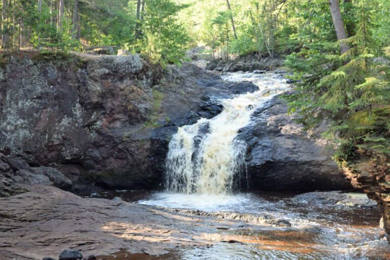
Photo: TheCatalyst31, CC0 1.0

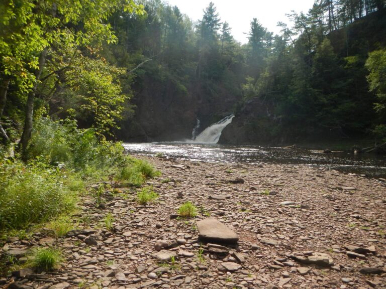
Photo: Curtis Abert, CC BY 2.0
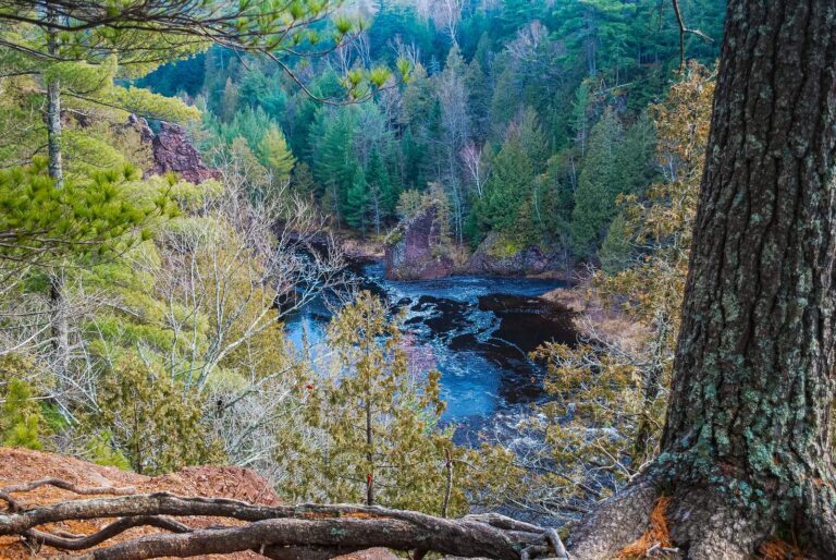
Photo: Joshua Mayer, CC BY-SA 2.0
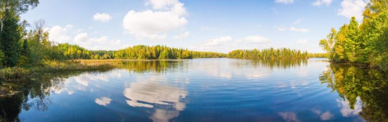
Photo: Forest Service, Eastern Region, Public domain

Answers for a day on Lake Superior
Do I need a stamp to fish Lake Superior?
A Wisconsin fishing license plus the $10 Great Lakes trout and salmon stamp covers Lake Superior trout and salmon; the $14 two-day Great Lakes license is the short-trip option.
How many ramps and harbors serve Lake Superior?
Our Lake Superior list holds 28 boat access sites and 4 harbors or bays.
Is a phone copy of my license enough on Lake Superior?
No; on Lake Superior the guide requires a paper copy of the license and stamps.
Which streams run into Lake Superior?
62 river mouths are listed, including Bois Brule River, Bark River and Cranberry River.
Who runs charters on Lake Superior?
12 charter listings, mostly out of Ashland, Bayfield and Superior.
How many lines may I troll on Lake Superior?
Each angler may troll three hooks, baits or lures under the Lake Superior rules.
Who writes the Lake Superior fishing report?
The DNR Lake Superior outdoor report, quoted above with its date.
How do I see the level of Lake Superior?
No current reading is matched to it.
How many lake trout can I keep from Lake Superior?
2 in total; minimum length 15 inches, but only one may be longer than 25 inches, Dec. 1, 2026 – Sept. 30, 2027 (when harvest east of Bark Point reaches 11,250 fish, the season may be closed)
Head north to Lake Superior
Print the license, add the Great Lakes stamp and choose a harbor above.