Georgia Border Water Agreements
Where a Georgia license works on shared water: the Savannah River lakes with South Carolina, the Chattahoochee lakes with Alabama, the St. Marys with Florida and Lake Chatuge.
 For weighing a catchPiscifun Lip gripper with digital scale27% OFFSale $39.99
Photo of Lake Burton: pseabolt, CC BY 3.0

Georgia reciprocal license agreements by state
Georgia and South Carolina
South Carolina Waters Covered On the banks and in the waters of all channels of the Savannah River from its mouth to the junction of the Tugaloo (Toogaloo) and Seneca Rivers; the Tugaloo River from its mouth to the junction of the Tugaloo and Chattooga Rivers; and the Chattooga River to the North Carolina state line (35th parallel of North latitude at Ellicott’s Rock). This agreement also applies to all the waters and banks of Clarks Hill Reservoir (Strom Thurmond), Richard B. Russell Reservoir, Hartwell Reservoir, Yonah Lake, Tugaloo (Toogaloo) Lake, the New Savannah Bluff Lock and Dam, and Stevens Creek Lake (except that portion on the Stevens Creek arm upstream of South Carolina Hwy 53). The agreement does not apply to any flowing portions of tributary streams to these impoundments nor to tributary streams of the Savannah, Tugaloo and Chattooga Rivers. Licenses All persons meeting the
Georgia and Alabama
Alabama Waters Covered The banks and waters of only that portion of the Chattahoochee River forming the boundary between Georgia and Alabama and Lakes Bartletts Ferry (Harding), George W. Andrews, Goat Rock, Oliver, Seminole, Walter F. George (Eufaula) and West Point; however, this agreement does not include that portion of West Point Reservoir lying upstream (north) of Georgia Hwy 109 bridge on the Chattahoochee River arm of the reservoir. The waters covered by this agreement do not include other streams or tributaries which flow into the Chattahoochee River or its impoundments or the portion of Lake Seminole covered by the agreement with Florida or Lake Weiss. Licenses All persons meeting the sport fishing requirements of Georgia or Alabama may fish from the banks and in the waters covered without having to obtain any other license. Minimum Length Limits Largemouth bass: Lake West Poin
Georgia and Florida
Florida Waters Covered The waters and the banks of the St. Mary's River, not including its tributaries. The waters and banks of Lake Seminole, bounded on the west by Florida State Road No. 271; on the south by the Jim Woodruff Dam; on the east by the line immediately east of the Chattahoochee Marina (also known as the Booster Club) running northwest across the reservoir to the tip of land at the junction of the Flint and Chattahoochee Rivers, west of Spring Creek; and on the north by the Herman Talmadge Bridge across the Chattahoochee River (please see map at GoFishGeorgia.com). Licenses Any person who has a valid fishing license and properly issued permits or licenses, or both, required by Georgia or Florida in their possession may sport fish for freshwater fish in the waters covered. Georgia Honorary Disability License is not recognized by Florida under this agreement. A nonresident fi
Georgia and North Carolina
North Carolina Waters Covered Lake Chatuge and all tributary branches lying in Georgia or North Carolina which are accessible by boat from the main body of the reservoir. Licenses Holders of a valid Georgia or North Carolina fishing license may fish with hook and line in Lake Chatuge only from boats. Boats may not be anchored to the shore or to a pier or boat dock connecting to the shore. Senior citizen and youth license exemptions authorized by either state are honored by both states on Lake Chatuge. All other laws and regulations of Georgia apply to the Georgia portion of Lake Chatuge. All other laws and regulations of North Carolina apply to the North Carolina portion of Lake Chatuge.
2026-2027 Georgia Hunting and Fishing Regulations (Georgia DNR), pages 66 and 67. Checked October 2026.
Georgia and South Carolina border water limits
| Species | Water | Limit |
|---|---|---|
| Striped bass, white bass and/or hybrid white-striped bass | Savannah River and its tributaries downstream of J. Strom Thurmond Dam | 2 in total, both of which must be 27 inches in length or longer |
| Striped bass | Lake Richard B. Russell (Russell Dam to Hartwell Dam and Lake Secession Dam) and all tributaries | 2 per day, only one of which can exceed 34 inches in length |
| Striped bass or hybrid bass or combination | Lakes Hartwell and Clarks Hill | 10; Only 3 may be over 26 inches |
| Striped bass or hybrid bass or combination | Lake Russell | 2; Only 1 may be over 34 inches |
| Striped bass, hybrid bass, white bass or combination | Savannah River downstream of Clarks Hill dam | 2; 27-inch minimum length limit |
| White bass | All border waters covered except for Savannah River downstream of Clarks Hill dam | 10; No size limit |
| Trout | All border waters covered | 5; No size limit |
| Bass (largemouth, spotted, redeye, smallmouth or combination) | All border waters covered | 10; 12-inch minimum length for largemouth bass |
| Walleye or Sauger or combination | All border waters covered | 8; No size limit |
| Aggregate of all game fish (does not include catfish) | All border waters covered | 40 |
Georgia and Florida border rules
| Species | Water | Limit |
|---|---|---|
| Striped bass, white bass and hybrid white-striped bass | St. Marys River (Georgia-Florida agreement waters) | 2 fish which must be 22 inches or longer |
Agreements allow holders of a Georgia fishing license to fish the covered waters without a license from the bordering state. Agreements do not apply to saltwater (Alabama, South Carolina, Florida).
Photos of Georgia water to go with Georgia Border Water Agreements
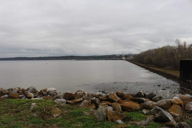
Photo: Michael Rivera, CC BY-SA 4.0

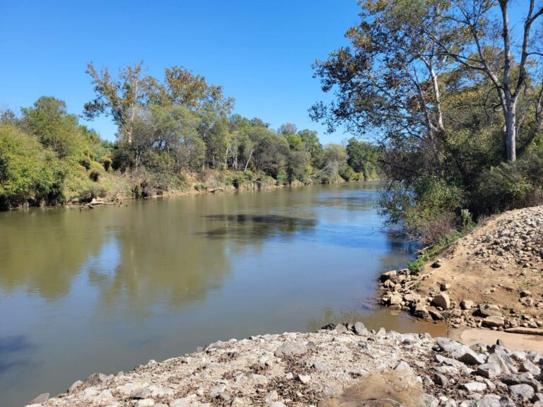
Photo: John Phelan, CC BY 4.0

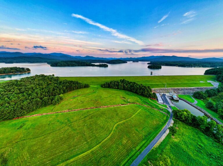
Photo: Harrison Keely, CC BY 4.0

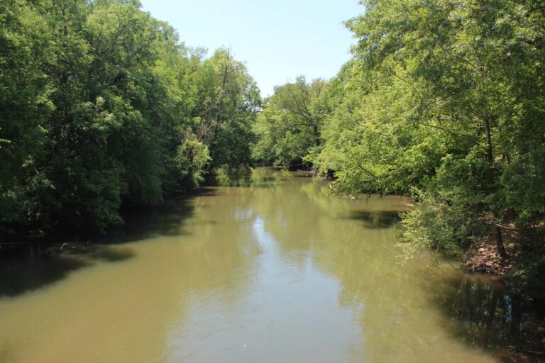
Photo: Thomson200, CC0 1.0

Border water questions for Georgia anglers
Can I fish Lake Hartwell with only a Georgia license?
Yes; under the Georgia and South Carolina agreement either state’s license covers Hartwell, Russell, Clarks Hill and the other listed Savannah River water.
What striper limit applies on Hartwell and Clarks Hill?
10 striped or hybrid bass in combination, only 3 of them over 26 inches.
What is the striper rule on Lake Russell?
2 per day, and only one may be over 34 inches.
Which Alabama border lakes does a Georgia license cover?
The Chattahoochee reach and lakes on the line, including Bartletts Ferry, Goat Rock, Oliver and George W. Andrews, as the agreement lists.
Does a Georgia license cover the St. Marys River?
Yes, the river and its banks under the Georgia and Florida agreement, not its tributaries.
What is the trout limit on Georgia and South Carolina border water?
5 trout, with no size limit.
Does the agreement cover Lake Chatuge?
Yes; Georgia and North Carolina licenses both work on Lake Chatuge and its tributary branches.
Whose creel limits apply on border water?
The limits printed in the agreement chart, which can differ from Georgia statewide limits.
Georgia rule pages beyond Georgia Border Water Agreements
- Georgia Freshwater Creel Limitsblack bass, crappie, bream, catfish, stripers and walleye
- Georgia Trout Fishing Rulestrout license, delayed harvest and artificial-only streams
- Georgia Saltwater LimitsCRD bag and size limits, SIP permit and the 2027 reef endorsement
- Georgia Special Regulation Waterslake and river exceptions and seasonal closures
- Georgia Fishing Methods and General Rulestrotlines, jugs, bowfishing, noodling and bait
- License prices and permitswho needs a license and what it costs