Route J Reservoir Fishing
A 93-acre Missouri reservoir in Ralls County.
 Pick for largemouth bassPiscifun Chaos Pro CNC baitcasting reel25% OFFSale $97.99
Photo of Mark Twain Lake: mostateparks, Public domain
Sizing up Route J Reservoir
In Ralls County, Route J Reservoir measures 93 acres on the conservation department map. Monroe City is the nearest town, some 5 miles off. MDC manages it within the MDC Northeast Region. Missouri visitors reach it through Route J Reservoir (Monroe City).
Boaters have 1 mapped ramp to choose from. Bank anglers get 1 dock or jetty. MDC habitat work left 12 attractor points here.
MDC Managed Public Waterbody outlines (GIS acres, region, managing area) on gisblue.mdc.mo.gov, Census 2023 places, retrieved October 27, 2026. MDC office phone: 660-785-2420.
The MDC 2026 outlook for Route J Reservoir
Here is how MDC biologists sized up Route J Reservoir for 2026:
Largemouth bass fishing in this 94-acre water supply lake in Ralls County will be good. The bass population in Route J continues to be one of the most robust populations in northeast Missouri. An electrofishing survey in the spring of 2025 indicated good numbers of bass between 12 and 20 inches long. Anglers will have a high chance of catching a memorable fish over 18 inches with a good possibility of catching a trophy fish over 21 inches. Bluegill will also be abundant with few of harvestable size. Black crappie are present in moderate numbers with a good population of fish greater than 8 inches, with few individuals exceeding 10 inches.
MDC, 2026 Missouri Fishing Prospects (report), quoted; retrieved October 27, 2026.
 For the largemouth bass herePiscifun AlinoX 300 low profile baitcaster34% OFFSale $104.99
Gamefish at Route J Reservoir
Every chip below has an MDC source tying it to Route J Reservoir.
MDC 2026 Fishing Prospects text, MDC State Record Fish list and MDC trout program statements, retrieved October 27, 2026.
Structure placed in Route J Reservoir
The MDC attractor layer shows 12 points at Route J Reservoir, placed in 2009.
| Material | Points | Years placed |
|---|---|---|
| Hardwood | 12 | 2009 |
MDC Fishing Interactive Map, fish attractors layer (material and year placed as mapped), retrieved October 27, 2026.
Every mapped access at Route J Reservoir
- Route J Reservoir (Monroe City) accessboat ramp, parking, privy nearby; Missouri Department of Conservation
MDC docks and jetties at Route J Reservoir
- Route J Reservoir (Monroe City)fishing dock, accessible
MDC boat ramp/access, dock and jetty layers; USACE Little Rock District ramps and USACE recreation areas; retrieved October 27, 2026.
How full Route J Reservoir is running
| USGS gauge | Latest reading | Time (ET) |
|---|---|---|
| Monroe City Lake Near Monroe City, Mo | 667.09 ft lake elevation | Oct 30 2:30 am |
US Geological Survey provisional data, retrieved Oct 30, 2026 3:39 am ET. Provisional readings can be revised.
Check the caption for when the Route J Reservoir reading was taken.
Daily limits on Route J Reservoir
| Species | Daily limit and length | Season |
|---|---|---|
| Black bass (largemouth, smallmouth, spotted/Kentucky) | 6 a day | All year |
| Channel catfish | 10 a day | All year |
| Blue catfish | 5 a day | All year |
| Flathead catfish | 5 a day | All year |
| Crappie (black and white) | 30 a day | All year |
| Goggle-eye (Ozark, rock, and shadow bass) and warmouth | 15 a day; 7" minimum | All year |
| Muskellunge | 1 (daily limit is 1 muskellunge or 1 northern pike); 36" minimum | All year |
| Northern pike | 1 (daily limit is 1 muskellunge or 1 northern pike) | All year |
| Paddlefish (spoonbill) | 2 a day; 32" minimum (eye to fork of tail) | March 15–April 30 |
| Pickerel (chain and grass) | 6 a day | All year |
| Shovelnose sturgeon | 10 a day; 30" maximum (snout to fork of tail) | All year |
| Trout (rainbow and brown) | 4 a day; Rainbow: none; Brown: 15" minimum in streams | All year |
| Walleye and sauger | 4 a day; 15" minimum | All year |
| White, yellow, and striped bass and their hybrids | 15 a day; No more than 4 longer than 18" | All year |
The statewide rows set the baseline at Route J Reservoir.
Limits and seasons as printed in A Summary of Missouri Fishing Regulations 2026 (MDC, effective March 1, 2026), page 20 (booklet PDF); retrieved October 27, 2026.
Route J Reservoir next to five nearby lakes
By MDC acreage, Mark Twain Lake tops the neighbours at 18,353 acres.
| Lake | Distance | Acres | Ramps | Attractors | Species named |
|---|---|---|---|---|---|
| Route J Reservoir | 93 | 1 | 12 | 5 | |
| Mark Twain Lake Reregulation Pool | 5 miles southeast | 408 | 0 | 0 | 0 |
| Mark Twain Lake | 9 miles southwest | 18,353 | 0 | 140 | 9 |
| Tom Sawyer Lake | 11 miles southwest | 4 | 0 | 0 | 0 |
| Hunnewell Lake | 13 miles northwest | 236 | 0 | 44 | 6 |
| Vandalia Community Lake | 26 miles south | 35 | 1 | 0 | 0 |
MDC waterbody outlines, ramp and attractor layers, 2026 prospects; retrieved October 27, 2026.
Next stops near Route J Reservoir
Other still water near Route J Reservoir
- Mark Twain Lake Reregulation Pool5 miles southeast
- Mark Twain Lake9 miles southwest
- Tom Sawyer Lake11 miles southwest
- Hunnewell Lake13 miles northwest
- Vandalia Community Lake26 miles south
Bait counters that serve Route J Reservoir
- Indian Creek Marinamarina, Monroe City, 4 miles
- Blackjack Marina Incbait and tackle shop, Perry, 6 miles
- Joe's Bait & Tacklebait and tackle shop, Stoutsville, 12 miles
- Nemo Bait Cobait and tackle shop, Perry, 14 miles
Show-Me towns a drive from Route J Reservoir
- Monroe City5 miles
- Palmyra15 miles
- Hannibal16 miles
The Missouri counties Route J Reservoir reaches into
- Ralls Countyseat: New London
Piscifun tackle a Missouri angler might take to Route J Reservoir


Piscifun and Amazon links are affiliate links; the site earns a commission on qualifying purchases.
Hollows, bluffs and lakes by Route J Reservoir, in photos

Photo: mostateparks, Public domain

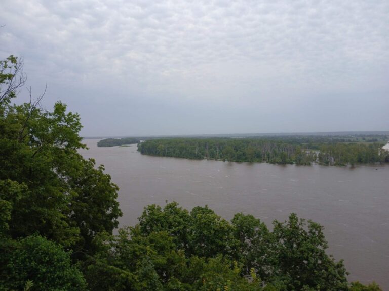
Photo: Ser Amantio di Nicolao, CC0 1.0


Photo: AmyBautz, CC BY-SA 3.0

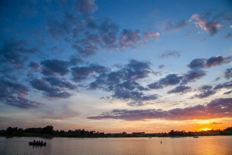
Photo: mostateparks, Public domain

Things Show-Me visitors wonder about Route J Reservoir
Which MDC region covers Route J Reservoir?
You will find it in Ralls County, the MDC Northeast Region, about 5 miles from Monroe City.
What surface area does MDC give Route J Reservoir?
Some 93 acres.
Where does a Show-Me boater launch on Route J Reservoir?
1 mapped ramp, including Route J Reservoir (Monroe City) access.
What fish does MDC report at Route J Reservoir?
Listed: largemouth bass, crappie, bluegill, channel catfish and black crappie.
Does Route J Reservoir have special fishing rules?
Black bass (largemouth, smallmouth, spotted/Kentucky): 6 a day; All year.
Is a trout permit needed at Route J Reservoir?
Missouri anglers 16 through 64 carry a fishing permit: $14 a year for residents, $57 for nonresidents, or $9 for a daily permit.
Does MDC allow gas motors on Route J Reservoir?
Posted rules at the access apply; none is on file here.
Who sells minnows and crawdads near Route J Reservoir?
Drive about 4 miles to Indian Creek Marina.
What does MDC expect at Route J Reservoir in 2026?
Largemouth bass fishing in this 94-acre water supply lake in Ralls County will be good. The bass population in Route J continues to be one of the most robust populations in northeast Missouri. An electrofishing survey in the spring of 2025 indicated good numbers of bass between 12 and 20 inches (MDC 2026 Fishing Prospects)
How full is Route J Reservoir?
USGS reports it; the figure is above.
Does Route J Reservoir have fish attractors?
MDC lists 12 points of placed cover.
Pick a date for Route J Reservoir
Check the daily limit before a fish goes in the livewell.