Fishing near San Mateo, California
San Mateo County, population 105,661.
- 15 milesto nearest lake
- 10launches nearby
 Angler pickPiscifun Viper X spinning reel50% OFFSale $39.99
 Photo of Chabot Reservoir: Clyde Charles Brown, CC BY-SA 4.0

Getting on the water from San Mateo
San Mateo, in San Mateo County, had 105,661 residents in 2020. South Merced Lake is the nearest CDFW lake, roughly 15 miles northwest. Boaters can launch at Parkside Aquatic Park, 1 mile from town.
Try Coyote Point Jetty, a public pier 2 miles away. Within 15 miles there are 6 MPAs to respect.
Reservoirs near San Mateo
- South Merced Lake15 miles northwest, 198 acres
- Lakeshore Park Pond15 miles east, 17.5 acres
- North Merced Lake15 miles northwest, 105 acres
- Chabot Reservoir16 miles northeast, 315 acres
- Jordon Lake16 miles east
- Don Castro Reservoir17 miles northeast, 19 acres
Lake species around San Mateo
| Species | Nearby lakes flagged |
|---|---|
| Hatchery trout | 5 |
| Black bass | 4 |
| Sunfish and crappie | 4 |
| Catfish | 3 |
Streams near San Mateo
- Alameda Creek25 miles
- Corte Madera Creek29 miles
Access around San Mateo
- Parkside Aquatic ParkSan Francisco Bay-South Bay, 1 mile
- Seal Point Park BTAFSan Francisco Bay-South Bay, 1 mile
- Coyote Point MarinaSan Francisco Bay-South Bay, 2 miles
- Redwood City Municipal MarinaSan Francisco Bay-South Bay, 7 miles
- Docktown MarinaSan Francisco Bay-South Bay, 7 miles
- Westpoint Harbor and BoatyardSan Francisco Bay-South Bay, 7 miles
- Oyster Point MarinaSan Francisco Bay-South Bay, 8 miles
- Pillar Point Boat Launching FacilityPillar Point Harbor, 10 miles
- Pillar Point HarborPillar Point Harbor, 10 miles
- Candlestick Point SRA (Boat Launch Facility – removed)San Francisco Bay-West Bay, 11 miles
Straight line distances from the Census point for San Mateo.
Salt water near San Mateo
Public piers near San Mateo
- Coyote Point Jettyjetty, 2 miles
- Redwood City Pierpier, 7 miles
- Oyster Point Pierpier, 8 miles
- Sierra Point Pierpier, 9 miles
- Halfmoon Bay Jetty Eastjetty, 10 miles
- Pillar Point Harbor Fishing Pierpier, 10 miles
Harbors and bays by San Mateo
- Pillar Point Harbor10 miles
- Half Moon Bay10 miles
- San Francisco Bay11 miles
MPA boundaries around San Mateo
- Redwood Shores SMPSMP, 4 miles
- Bair Island SMPSMP, 5 miles
- Egg (Devil's Slide) Rock to Devil's Slide Special ClosureSpecial Closure, 12 miles
- Montara SMRSMR, 13 miles
- Pillar Point SMCASMCA, 13 miles
- Robert W. Crown SMCASMCA, 14 miles
Stream gauges near San Mateo
| USGS gauge | Latest reading | Time (ET) |
|---|---|---|
| San Mateo C Bl Lo Crystal Sp Res Nr San Mateo Ca | 4 cfs, 4.14 ft gage height | Oct 12 6:15 pm |
| Pilarcitos C Ab Stone Dam Nr Hillsborough Ca | 3 cfs, 1.09 ft gage height | Oct 12 6:15 pm |
| Pilarcitos C Bl Stone Dam Nr Hillsborough Ca | 2 cfs, 5.06 ft gage height | Oct 12 6:00 pm |
US Geological Survey provisional data, retrieved Oct 12, 2026 6:32 pm ET. Provisional readings can be revised.
Tackle and charters near San Mateo
Where to stock up near San Mateo
- Big 5 Sporting Goods #092sporting goods store, San Mateo, 1 mile
- West Marine Store #1263marine supply store, San Carlos, 5 miles
- California Fly Shopfly shop, San Carlos, 5 miles
- Big 5 Sporting Goods #433sporting goods store, San Bruno, 8 miles
- Big 5 Sporting Goods #140sporting goods store, Menlo Park, 9 miles
- Hi's Tackle Boxbait and tackle shop, South San Francisco, 9 miles
- Half Moon Bay Sportfishing & Tacklesportfishing landing, Half Moon Bay, 10 miles
- G Pucci & Sonsbait and tackle shop, Brisbane, 11 miles
License counters by San Mateo
- Hassett Ace Hardwarelicense agent, 9 miles
Stocked water close to San Mateo
| Lake | Distance | Plant weeks | Last plant |
|---|---|---|---|
| Lakeshore Park Pond | 15 miles | 1 | 2025-12-14 |
| North Merced Lake | 15 miles | 5 | 2026-03-29 |
| Horseshoe Lake, Alameda County | 17 miles | 5 | 2026-03-01 |
| Temescal Lake | 20 miles | 2 | 2026-01-04 |
| Shadow Cliff Lake | 27 miles | 5 | 2026-02-15 |
| Hidden Valley Pond | 32 miles | 4 | 2026-03-01 |
| Lake del Valle | 32 miles | 2 | 2025-11-09 |
| Lake Herman | 38 miles | 2 | 2026-02-15 |
CDFW Fish Planting Schedule, last 52 weeks.
Inland limits for San Mateo anglers
The district for inland water near San Mateo is the South Central District.
| Species | Daily bag | Size | Season |
|---|---|---|---|
| Black bass | 5 a day | 12 in minimum | All year |
| Trout | 5 a day | none | All year |
| Striped bass | 2 a day | 18 in minimum | All year except closures in special regulations |
| Sunfish and crappie | 25 a day | none | All year, except closures under district or special regulations |
| Catfish | no limit | none | All year, except closures under special regulations |
| Kokanee and inland salmon | 5 a day | none | All year |
CDFW 2026 Freshwater Sport Fishing Regulations.
The ground around San Mateo
Towns ringing San Mateo
- Redwood City6 miles
- South San Francisco7 miles
- Half Moon Bay10 miles
- Pacifica10 miles
Counties holding San Mateo
- San Mateo Countyseat: Redwood City
The fish of San Mateo
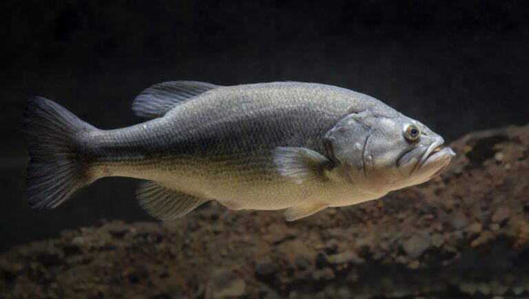
Photo: USFWS Mountain Prairie, Public domain
_(53118577249).jpg)
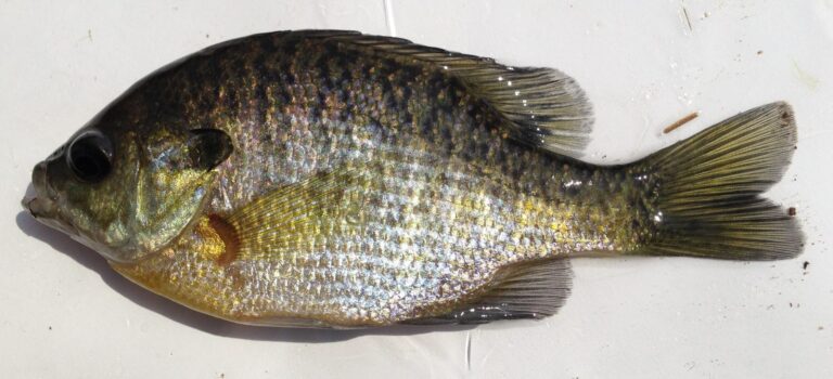
Photo: Fredlyfish4, CC BY-SA 3.0

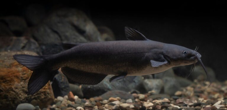
Photo: USFWS Mountain-Prairie, Public domain
.jpg)
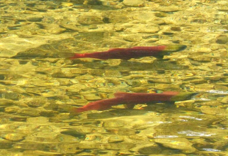
Photo: gailhampshire from Cradley, Malvern, U.K, CC BY 2.0

Questions from San Mateo anglers
How many miles to a CDFW lake from San Mateo?
South Merced Lake, 15 miles northwest.
Is a launch ramp close to San Mateo?
The nearest named launch is Parkside Aquatic Park (1 mile).
Which public pier can I fish near San Mateo?
Coyote Point Jetty, 2 miles away, needs no license.
Does San Mateo have a bait counter?
Big 5 Sporting Goods #092, the closest shop.
Who runs guided trips in San Mateo?
None list San Mateo; see the county page.
Which California county contains San Mateo?
San Mateo County; see its page.
Can I fish everywhere near San Mateo?
6 MPAs within 15 miles, closest Redwood Shores SMP.
Is a stream within reach of San Mateo?
The nearest stream page is Alameda Creek, 25 miles off.
How much is a day license near San Mateo?
From age 16 a license is needed; a one-day license is $21.09 and two days $32.4.